Hoover Wilderness

Log in to your account

AroundUs is a community-driven map of interesting places, built by curious explorers like you. It grows with every review, story, and photo you share.
Connect to save your favorite spots, contribute locations, and create personalized routes.
Continue with Google
Continue with Apple
Continue with X
Continue with Facebook
Continue with email
By continuing, you accept our Terms and Conditions and our Privacy Policy
Create an account
Add to collection
Map
Suggest a change
Share

Hoover Wilderness, Nature reserve in Tuolumne County, California, US.

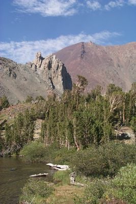
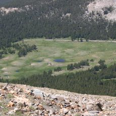
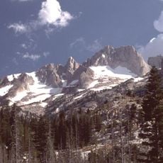
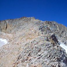
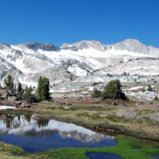
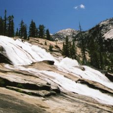
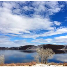
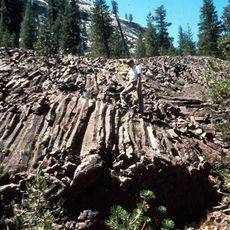
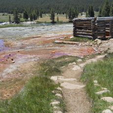
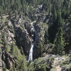
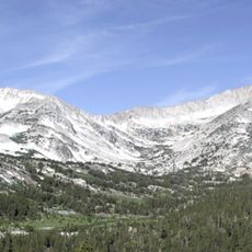
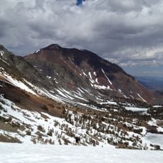
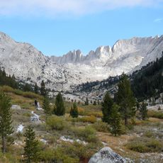
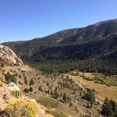
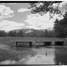
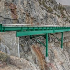
Hoover Wilderness is a nature reserve spanning roughly 128,000 acres of granite peaks, mountain lakes, and open meadows. The landscape sits within two large national forests and shows the raw, rocky character of the high Sierra with bare rock faces and windswept terrain.

The U.S. Forest Service first designated this area as a Primitive Area in 1931, giving it formal status within the national forest system. The wilderness designation came later, providing stricter protections for the landscape.

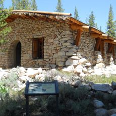
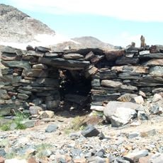
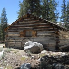
Native American peoples once lived here, and signs of their presence remain scattered across the high valleys and ridges. Visitors walking through the backcountry can sense this long connection to the land.

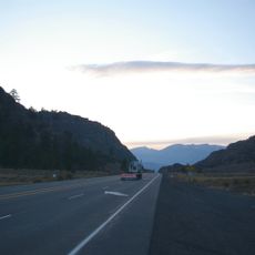
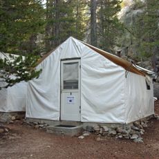
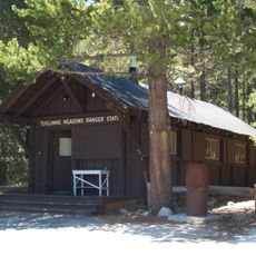
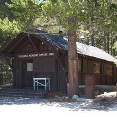
Visitors need to obtain wilderness permits throughout the year, with stricter limitations during the busy summer season from late June through September. Planning ahead is important, especially if you want to hike during the peak hiking months.

This wilderness holds the headwaters of the East Walker River and connects directly to Yosemite National Park. The elevation rises dramatically from around 7,000 feet to over 12,000 feet, creating steep transitions between different zones.

Location: Tuolumne County

Operator: US Forest Service

GPS coordinates: 38.12401,-119.38893

Latest update: December 10, 2025 16:29

Photos
Around this place
Tioga Pass
United States of America

Tioga Pass

26.3 km
Matterhorn Peak
United States of America

Matterhorn Peak

3.5 km
Mount Conness
United States of America

Mount Conness

18.5 km
Conness Glacier
United States of America

Conness Glacier

18.2 km
Devil's Gate Pass
United States of America

Devil's Gate Pass

25.1 km
Tioga Pass Entrance Station
United States of America

Tioga Pass Entrance Station

26.4 km
Waterwheel Falls
United States of America

Waterwheel Falls

22.7 km
Glen Aulin High Sierra Camp
United States of America

Glen Aulin High Sierra Camp

24 km
Bridgeport Reservoir
United States of America

Bridgeport Reservoir

23 km
Little Devils Postpile
United States of America

Little Devils Postpile

25 km
Parsons Memorial Lodge
United States of America

Parsons Memorial Lodge

27.4 km
Soda Springs Cabin
United States of America

Soda Springs Cabin

27.4 km
Great Sierra Mine Historic Site
United States of America

Great Sierra Mine Historic Site

24.2 km
Tuolumne Meadows Ranger Stations and Comfort Stations
United States of America

Tuolumne Meadows Ranger Stations and Comfort Stations

27.8 km
Mono County Courthouse
United States of America

Mono County Courthouse

20.4 km
United States of America

Victoria Peak

5.7 km
Leavitt Falls
United States of America

Leavitt Falls

26.5 km
Hall Natural Area
United States of America

Hall Natural Area

20.2 km
Dunderberg Peak
United States of America

Dunderberg Peak

12 km
Yosemite Wilderness
United States of America

Yosemite Wilderness

25.4 km
Lee Vining Canyon
United States of America

Lee Vining Canyon

27.8 km
McCauley Cabin
United States of America

McCauley Cabin

27.5 km
Tuolumne Meadows Campground
United States of America

Tuolumne Meadows Campground

28.2 km
Tuolumne Meadows Ranger Station
United States of America

Tuolumne Meadows Ranger Station

27.8 km
Tuolumne Meadows Bridge
United States of America

Tuolumne Meadows Bridge

27.7 km
Tioga Pass Road Valley View
United States of America

Tioga Pass Road Valley View

24.6 km
Tioga Lake Overlook
United States of America

Tioga Lake Overlook

25.5 km
Lee Vining Canyon Bridge
United States of America

Lee Vining Canyon Bridge

24.6 km
Show the full map
Reviews

Visited this place? Tap the stars to rate it and share your experience / photos with the community! Try now! You can cancel it anytime.

« Hoover Wilderness - Nature reserve in Tuolumne County, California, US » is provided by Around Us (aroundus.com). Images and texts are derived from Wikimedia project under a Creative Commons license. You are allowed to copy, distribute, and modify copies of this page, under the conditions set by the license, as long as this note is clearly visible.

Discover hidden gems everywhere you go!

From secret cafés to breathtaking viewpoints, skip the crowded tourist spots and find places that match your style. Our app makes it easy with voice search, smart filtering, route optimization, and insider tips from travelers worldwide. Download now for the complete mobile experience.

Around Us App Screenshot

A unique approach to discovering new places

Le Figaro

All the places worth exploring

France Info

A tailor-made excursion in just a few clicks

20 Minutes