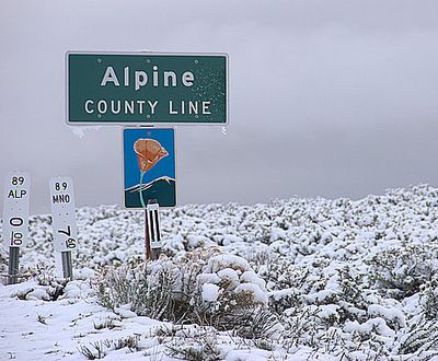
Alpine County, Administrative county in Sierra Nevada, California, US
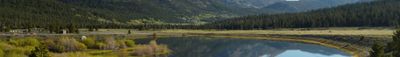
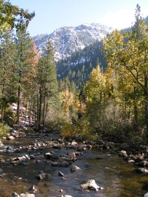
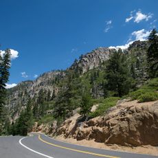
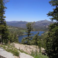
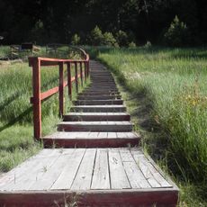
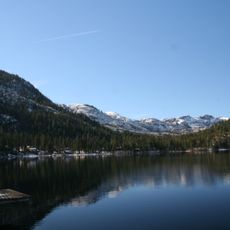
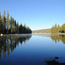
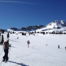
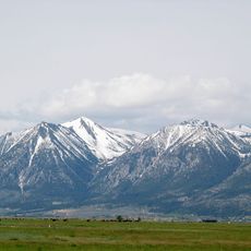
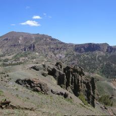
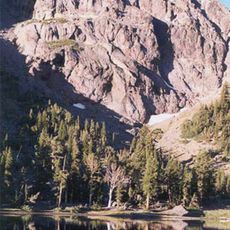
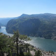
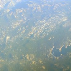
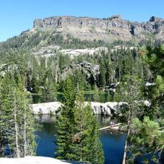
Alpine County is an administrative division in the Sierra Nevada range of California, covering mountain territory between Lake Tahoe and Yosemite National Park. The county includes portions of three national forests and is crossed by hiking trails, ski resorts, and campgrounds.
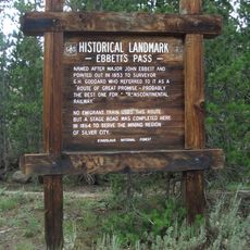
The territory became a separate county in 1864 after silver discoveries near Virginia City attracted miners and settlers to the region. Population declined sharply once the mines were exhausted and the economic center shifted away.
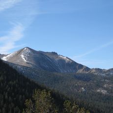
The county takes its name from the alpine landscape that draws hikers and winter sports enthusiasts year-round. Each July, the Markleeville Death Ride brings thousands of cyclists from across the country to tackle the mountain passes.
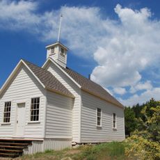
The county seat of Markleeville sits centrally and offers basic services and a starting point for excursions into the surrounding forests. Many roads close during winter months, so checking accessibility before traveling is advisable.
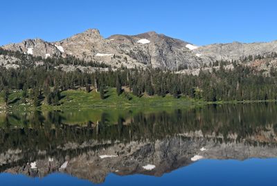
The entire territory sits above 4,000 feet (1,220 meters) elevation, making it the highest county in California. Winter temperatures in Markleeville regularly drop below minus 4 degrees Fahrenheit (minus 20 Celsius), while surrounding valleys often remain milder.
The community of curious travelers
AroundUs brings together thousands of curated places, local tips, and hidden gems, enriched daily by 60,000 contributors worldwide.