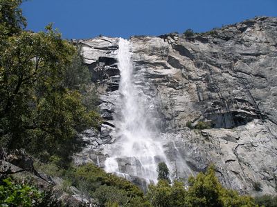
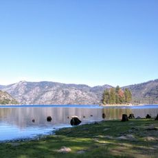
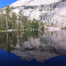
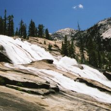
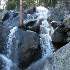
Tueeulala Falls, Waterfall in Hetch Hetchy Valley, Yosemite National Park, United States.
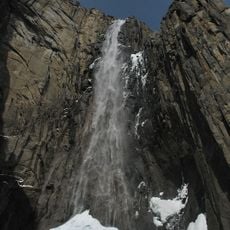
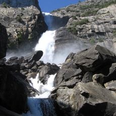
Tueeulala Falls is a waterfall in Hetch Hetchy Valley within Yosemite National Park that drops in two distinct sections. The water plunges straight down a granite cliff before tumbling in steps over rocky terrain below.
Western settlers first documented this location in the 1850s, though the Miwok people had known the valley for countless generations beforehand. The falls became part of the national park system as the region was developed for conservation.
The name comes from the Miwok language and holds spiritual meaning for the indigenous people who inhabited this valley. Visitors walking toward the falls experience the same landscape that held cultural significance for generations before it became a park destination.
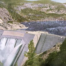
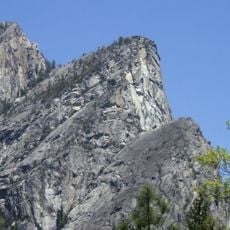
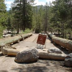
The hike to the falls starts at O'Shaughnessy Dam and passes through a rock tunnel that may be wet or contain running water during certain seasons. Sturdy footwear and sure footing are essential since the path can be slippery and exposed to spray from the falls.
The waterfall undergoes a dramatic seasonal transformation that most visitors do not expect. A visitor arriving in late spring sees a powerful cascade, while one returning in midsummer might find little more than a trickle or even dry rock.
The community of curious travelers
AroundUs brings together thousands of curated places, local tips, and hidden gems, enriched daily by 60,000 contributors worldwide.