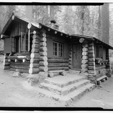
Crane Flat Campground, Campground in Yosemite National Park, US
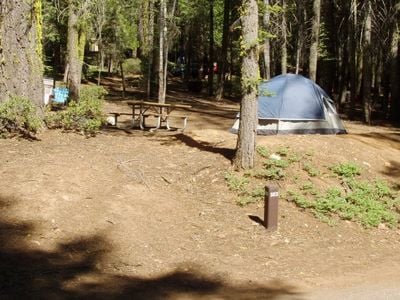
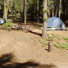
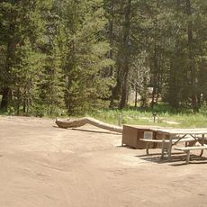
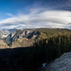
Crane Flat Campground is a campground in Yosemite National Park, set among pine trees at roughly 6,200 feet (about 1,900 meters) above sea level. Each site comes with a fire ring, a picnic table, and a bear-proof food storage box.
The land around Crane Flat was home to the Ahwahneechee people long before the area became part of Yosemite National Park in 1890. The campground itself was developed during the 20th century as the park expanded its visitor services.
The campground is a place where visitors engage in traditional outdoor activities and exchange stories about their park experiences. Fire rings and shared spaces naturally bring travelers together to connect over their time in nature.
The campground is open seasonally, typically from May through September, and offers toilets and food storage facilities on site. Reservations are strongly advised since spots fill up well before the summer months begin.
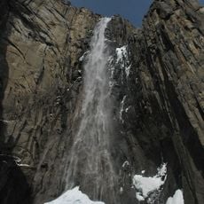
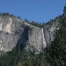
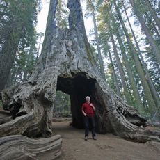
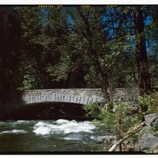
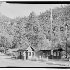
Crane Flat sits at one of the few road junctions inside the park, where two main park roads meet, making it a natural stopping point for travelers heading in different directions. A small grove of giant sequoias is located nearby and is often overlooked by visitors focused on the valley floor.
The community of curious travelers
AroundUs brings together thousands of curated places, local tips, and hidden gems, enriched daily by 60,000 contributors worldwide.