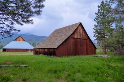
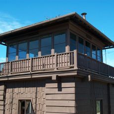
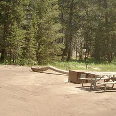
McCauley and Meyer Barns, Historic barns in Yosemite National Park, United States.
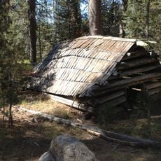
McCauley and Meyer Barns are three agricultural structures in Yosemite, consisting of one McCauley barn and two Meyer barns, each displaying different construction techniques and building methods. They feature wooden frame structures with log cribwork cores and metal roofs that replaced the original wooden shingles.
The McCauley barn was constructed in 1883 by James McCauley, an Irish immigrant who owned hotels in Yosemite Valley. It formed part of a winter residence complex that reflected early agricultural settlement in the park.
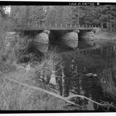
The buildings showcase the Mormon Pole Barn style, a construction method that emerged in California's Genesee Valley during the 1850s and remains visible in their handcrafted construction today.
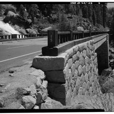
The structures are located within the park and are best reached on foot, with the surrounding area offering level ground. Visitors should be prepared for changing weather conditions and wear sturdy footwear, especially during colder months.
These structures rank among the only authentic homesteader buildings within Yosemite National Park that have kept their original architectural features intact. They showcase important examples of early life beyond the park's tourist centers.
The community of curious travelers
AroundUs brings together thousands of curated places, local tips, and hidden gems, enriched daily by 60,000 contributors worldwide.