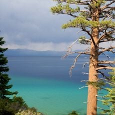
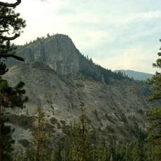
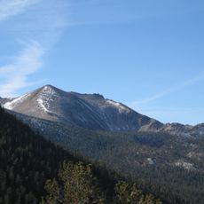
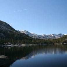
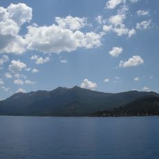
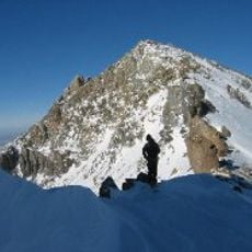
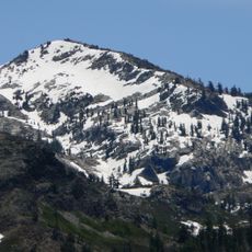
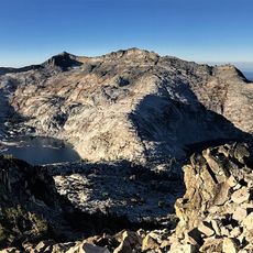
Ralston Peak, Mountain summit in Desolation Wilderness, California, US
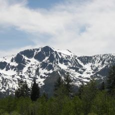
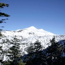
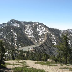
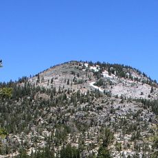
Ralston Peak is a mountain summit in the Desolation Wilderness that rises to approximately 9,200 feet. The northeast face drops off sharply while the southern approach climbs more gradually, offering different experiences depending on the route taken.
Ralston Peak lies in the Crystal Range of the Sierra Nevada, within El Dorado County, about 15 km southwest of South Lake Tahoe. The sources record no mining or logging history for the peak itself; its documented past is as a hiking objective reached from Camp Sacramento on U.S. Route 50 or via the Pacific Crest Trail between Echo Lake and Lake Aloha.
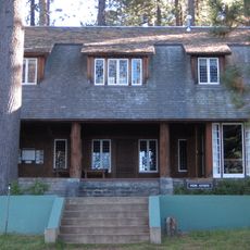
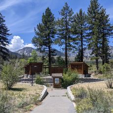
The peak's name comes from the Ralston family, who settled at Camp Sacramento at the base of the mountain; the camp later became a trailhead for the summit. Hikers today pass the camp on the way up and can look for the old camp buildings before the trail enters the Desolation Wilderness.
Access to the summit requires a permit for the Desolation Wilderness, and the hike typically starts from Camp Sacramento via the Ralston Trail. Weather conditions can shift rapidly at this elevation, so visitors should come prepared for changing mountain conditions.
Ralston Peak sits in the Crystal Range, and its summit rises 2,807 metres, about 332 metres above the surrounding terrain. Pyramid Peak, 3,035 metres high, lies 5 km to the east. The peak stands 15 km southwest of South Lake Tahoe, and the nearest trailhead is at Camp Sacramento, a few miles west of Echo Summit.
The community of curious travelers
AroundUs brings together thousands of curated places, local tips, and hidden gems, enriched daily by 94,092 contributors worldwide.