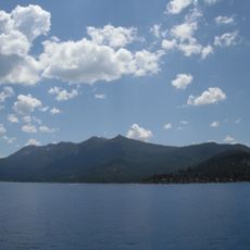
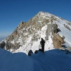
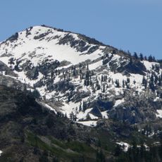
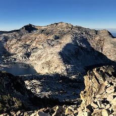
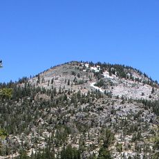
Maggies Peak, Mountain peak in Lake Tahoe, California, United States.
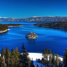
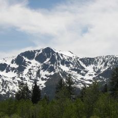
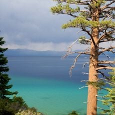
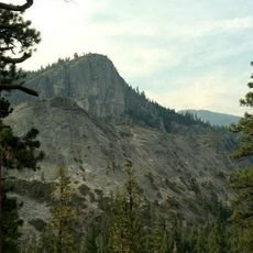
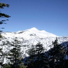
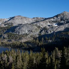
Maggies Peaks is a mountain in the Sierra Nevada with two summits about 0.7 miles (1 km) apart: the northern peak reaches 8,499 feet (2,590 m) and the southern peak 8,703 feet (2,653 m). It lies in the Desolation Wilderness of El Dorado County, California, southwest of Lake Tahoe, and both summits overlook the lake.
Maggies Peaks lies in the Desolation Wilderness of El Dorado County, within the Crystal Range of the Sierra Nevada, southwest of Lake Tahoe. Its two summits stand about 0.7 miles apart: the northern at roughly 8,499 feet and the southern at 8,703 feet. The higher southern peak rises about 163 metres above the surrounding terrain, and Mount Tallac lies 3.1 km to the northeast.
The mountain stands within Desolation Wilderness, where visitors must obtain permits to maintain environmental protection and control recreational access to natural resources.
The ascent is moderately difficult and takes about 3 to 4 hours for the round trip. The best hiking season is summer through early fall when snow does not block the path.
Maggies Peaks is not one summit but two, about 0.7 miles (1 km) apart: the northern peak reaches roughly 8,499 feet (2,590 m) and the southern peak 8,703 feet (2,653 m). Both stand in the Desolation Wilderness of El Dorado County, and the higher southern summit looks over Lake Tahoe.
The community of curious travelers
AroundUs brings together thousands of curated places, local tips, and hidden gems, enriched daily by 93,126 contributors worldwide.