Enable Location

We need your location to show you interesting places around you

Discover nearby places

Find interesting locations and hidden gems around you

Precise directions

Get accurate directions and distances to places

Your location is never shared with other users. It's only used when you tap the location button.

Calaveras County

Log in to your account

Start exploring — it's free

Trusted by 63,621 travelers worldwide

Continue with Google
Continue with Apple
or

We will send you a code to connect

By continuing, you accept our Terms and Conditions and our Privacy Policy

Check your inbox

We've sent a pincode in your inbox. Please enter the code below.

Discussion Reviews 5 Photos
66.8k Popularity

Calaveras County, Administrative county in California, United States

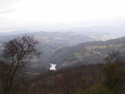
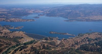
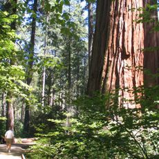
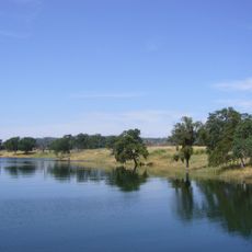
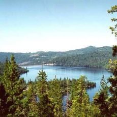
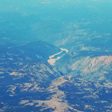
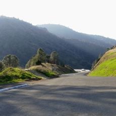
Calaveras County is an administrative division in California that covers the Sierra Nevada foothills and includes rolling hills, valleys, and limestone cave systems. The territory sits east of the Central Valley between the Stanislaus River to the north and the Mokelumne River to the south.

The county was officially created in 1850 when California joined the United States. Later, portions of its territory were separated to form neighboring Amador and Alpine counties.

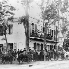
Spanish explorers gave the territory its name after finding skulls in the area. The county symbol references the famous frog story that still appears at local events today.

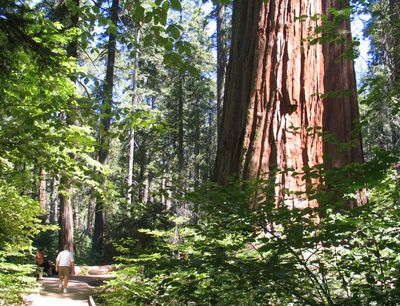
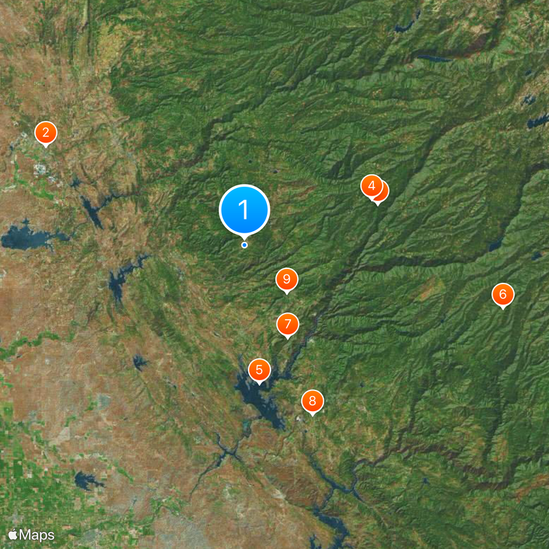
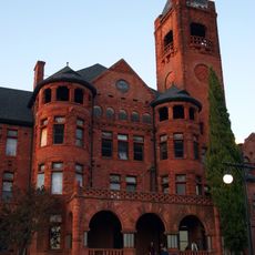
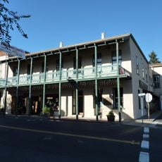
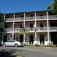
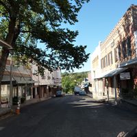
San Andreas is the administrative seat where the county offices handle citizen matters. The area works well for longer stays if you plan to combine cave visits and landscape exploration.

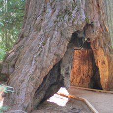
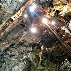
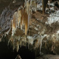
Multiple natural cave systems run beneath the surface, including Mercer Caverns, California Cavern, and Moaning Cavern, formed by limestone erosion over millions of years. Moaning Cavern in particular has a large main chamber that once produced sounds from wind currents.

The community of curious travelers

AroundUs brings together thousands of curated places, local tips, and hidden gems, enriched daily by 60,000 contributors worldwide.

Start exploring
Location
Inception
1850
Capital city
San Andreas
Shares border with
Amador County, Stanislaus County, San Joaquin County, Tuolumne County, Alpine County
GPS coordinates
38.21000,-120.55000
Latest update
December 13, 2025 18:13
Around this place
Show the full map
Reviews
Share your experience

No review yet

Discussions
Start a discussion...

No discussion yet

Administrative divisions
« Calaveras County - Administrative county in California, United States » is provided by Around Us (aroundus.com). Images and texts are derived from Wikimedia project under a Creative Commons license. You are allowed to copy, distribute, and modify copies of this page, under the conditions set by the license, as long as this note is clearly visible.

Discover hidden gems everywhere you go!

From secret cafés to breathtaking viewpoints, skip the crowded tourist spots and find places that match your style. Our app makes it easy with voice search, smart filtering, route optimization, and insider tips from travelers worldwide. Download now for the complete mobile experience.

Around Us App Screenshot

A unique approach to discovering new places

Le Figaro

All the places worth exploring

France Info

A tailor-made excursion in just a few clicks

20 Minutes

Around Us
Travel Guide & Maps
Download

Send to your phone

QR Code
1

Open the camera app on your mobile.

2

Point at the QR code with your camera. A notification will appear.

3

Tap the notification to open the link.