Enable Location

We need your location to show you interesting places around you

Discover nearby places

Find interesting locations and hidden gems around you

Precise directions

Get accurate directions and distances to places

Your location is never shared with other users. It's only used when you tap the location button.

San Andreas

Log in to your account

Start exploring — it's free

Trusted by 63,630 travelers worldwide

Continue with Google
Continue with Apple
or

We will send you a code to connect

By continuing, you accept our Terms and Conditions and our Privacy Policy

Check your inbox

We've sent a pincode in your inbox. Please enter the code below.

Discussion Reviews 1 Photos
58.1k Popularity

San Andreas, County seat in Calaveras County, California, US.

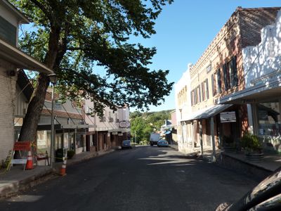
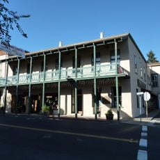
San Andreas is the county seat of Calaveras County in the foothills of the Sierra Nevada in California. The settlement spreads over gently rolling terrain at roughly 310 m (1,000 ft) elevation and includes residential neighborhoods, shops, and public buildings along the main road.

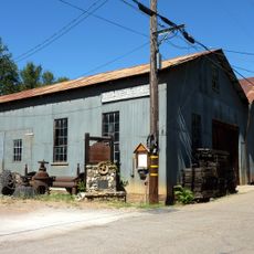
Mexican prospectors discovered gold here in 1848 and founded a camp that soon became a permanent settlement. The town grew quickly and later became the seat of county administration as the region consolidated after the gold rush.

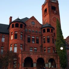
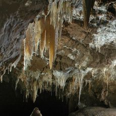
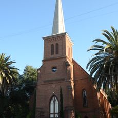
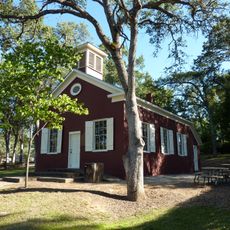
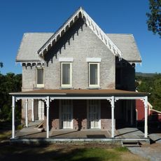
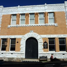
The county museum occupies an old courthouse and displays mining tools and settler belongings from the gold rush era. Visitors see reconstructed mine sections and everyday objects from the indigenous groups who lived here before the miners arrived.

The town sits directly on State Route 49, which runs through the gold country and connects several historic settlements. Banks and schools are found in the center, which is easy to walk through on foot.

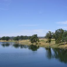
In the 1980s a large gold nugget was found nearby and sold for several thousand dollars, showing that gold still lies in the ground. Some residents today still search small creeks for nuggets that may be hidden in the rocks.

The community of curious travelers

AroundUs brings together thousands of curated places, local tips, and hidden gems, enriched daily by 60,000 contributors worldwide.

Start exploring
Location
Elevation above the sea
310 m
GPS coordinates
38.19611,-120.68056
Latest update
December 13, 2025 19:38
Around this place
Preston School of Industry
United States of America

Preston School of Industry

28.9 km
New Melones Lake
United States of America

New Melones Lake

26 km
Camanche Reservoir
United States of America

Camanche Reservoir

28.1 km
Indian Grinding Rock State Historic Park
United States of America

Indian Grinding Rock State Historic Park

25.7 km
New Hogan Lake
United States of America

New Hogan Lake

12.6 km
Ironstone Vineyards
United States of America

Ironstone Vineyards

20.3 km
Mercer Caverns
United States of America

Mercer Caverns

18.4 km
California Caverns
United States of America

California Caverns

15 km
Angels Hotel
United States of America

Angels Hotel

18.4 km
Pardee Dam
United States of America

Pardee Dam

16.3 km
Knight Foundry
United States of America

Knight Foundry

23.7 km
Twisted Oak Winery
United States of America

Twisted Oak Winery

20.8 km
Salt Spring Valley Reservoir
United States of America

Salt Spring Valley Reservoir

18.9 km
Community Methodist Church of Ione
United States of America

Community Methodist Church of Ione

27.9 km
Altaville Grammar School
United States of America

Altaville Grammar School

16.3 km
Thorn House
United States of America

Thorn House

241 m
Sierra Nevada Logging Museum
United States of America

Sierra Nevada Logging Museum

30.4 km
Calaveras County Courthouse
United States of America

Calaveras County Courthouse

136 m
Archie Stevenot Bridge
United States of America

Archie Stevenot Bridge

26.6 km
D. Stewart Company Store
United States of America

D. Stewart Company Store

28.1 km
John J. Snyder House
United States of America

John J. Snyder House

418 m
Douglas Flat School
United States of America

Douglas Flat School

21.8 km
Sam Choy Brick Store
United States of America

Sam Choy Brick Store

18.8 km
Copperopolis Congregational Church
United States of America

Copperopolis Congregational Church

24.4 km
Utica Mansion
United States of America

Utica Mansion

18.5 km
Scully Ranch
United States of America

Scully Ranch

30 km
William J. Paugh House
United States of America

William J. Paugh House

19 km
Jackson Downtown Historic District
United States of America

Jackson Downtown Historic District

18.8 km
Show the full map
Reviews
Share your experience

No review yet

Discussions
Start a discussion...

No discussion yet

« San Andreas - County seat in Calaveras County, California, US » is provided by Around Us (aroundus.com). Images and texts are derived from Wikimedia project under a Creative Commons license. You are allowed to copy, distribute, and modify copies of this page, under the conditions set by the license, as long as this note is clearly visible.

Discover hidden gems everywhere you go!

From secret cafés to breathtaking viewpoints, skip the crowded tourist spots and find places that match your style. Our app makes it easy with voice search, smart filtering, route optimization, and insider tips from travelers worldwide. Download now for the complete mobile experience.

Around Us App Screenshot

A unique approach to discovering new places

Le Figaro

All the places worth exploring

France Info

A tailor-made excursion in just a few clicks

20 Minutes

Around Us
Travel Guide & Maps
Download

Send to your phone

QR Code
1

Open the camera app on your mobile.

2

Point at the QR code with your camera. A notification will appear.

3

Tap the notification to open the link.