Enable Location

We need your location to show you interesting places around you

Discover nearby places

Find interesting locations and hidden gems around you

Precise directions

Get accurate directions and distances to places

Your location is never shared with other users. It's only used when you tap the location button.

Placerville

Log in to your account

Start exploring — it's free

Trusted by 62,408 travelers worldwide

Continue with Google
Continue with Apple
or

We will send you a code to connect

By continuing, you accept our Terms and Conditions and our Privacy Policy

Check your inbox

We've sent a pincode in your inbox. Please enter the code below.

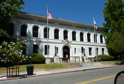
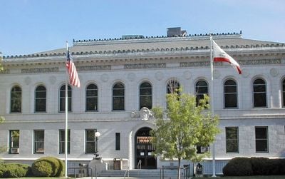
Placerville, County seat in El Dorado County, California, US.

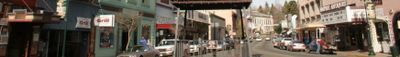
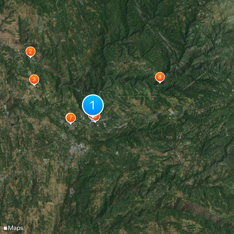
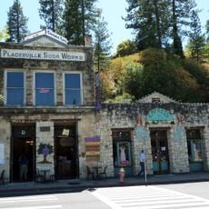
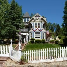
Placerville is a town in El Dorado County in the Sierra Nevada foothills of California, set on a hillside across several valleys. Main Street runs along a slope and the older neighborhoods stretch on both sides with a clear elevation shift between districts.

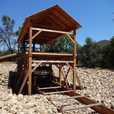
The camp started in 1848 as Dry Diggin's, a gold mining settlement, and took the name Placerville in 1854 at incorporation. The town served as a supply station for mining areas and later grew into an administrative center for the region.

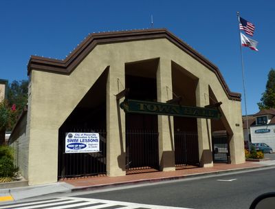
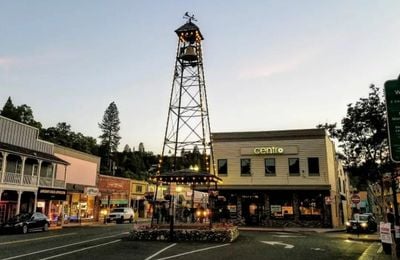
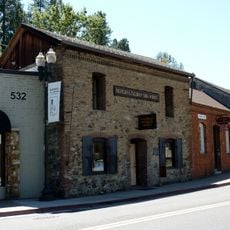
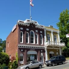
The old name Hangtown refers to three hangings during the early days of the Gold Rush, when frontier justice was common. Bell Tower Brewery on Main Street recalls the old bell tower building, keeping memory of the town's rough past alive.

Highways 50 and 49 cross in the center and link the town to Sacramento in the west and mountain towns in the east. Parking along Main Street fills up on weekends, so walking from the public lots at the edge of town is often easier.

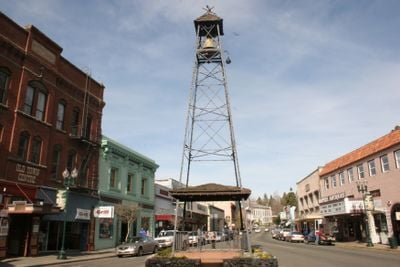
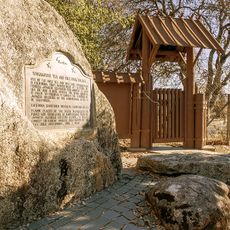
A small wooden bell pavilion stands at the crossing of the two highways and recalls the fire warning system of the gold rush days. The bell used to ring during fires, which regularly broke out in the tightly built wooden houses of the town.

The community of curious travelers

AroundUs brings together thousands of curated places, local tips, and hidden gems, enriched daily by 60,000 contributors worldwide.

Start exploring
Location
GPS coordinates
38.72972,-120.79861
Latest update
December 13, 2025 15:58
Around this place
Sutter's Mill
United States of America

Sutter's Mill

11.6 km
Wakamatsu Tea and Silk Farm Colony
United States of America

Wakamatsu Tea and Silk Farm Colony

8.9 km
John Pearson Soda Works
United States of America

John Pearson Soda Works

209 m
United States of America

Placerville Speedway

2.9 km
Fountain-Tallman Soda Works
United States of America

Fountain-Tallman Soda Works

66 m
El Dorado County Fair
United States of America

El Dorado County Fair

2.9 km
United States of America

Slab Creek Dam

10 km
Combellack-Blair House
United States of America

Combellack-Blair House

381 m
Church of Our Saviour
United States of America

Church of Our Saviour

315 m
Confidence Hall
United States of America

Confidence Hall

96 m
Eddy Arboretum
United States of America

Eddy Arboretum

34 m
Coloma Resort
United States of America

Coloma Resort

11.1 km
United States of America

Gold Discovery Museum

11.3 km
United States of America

Eight Mile House State Historic Landmark

12.2 km
United States of America

Rotary Park

618 m
United States of America

Shingle Springs State Historic Landmark 456

11.9 km
Sutter's Mill Site
United States of America

Sutter's Mill Site

11.6 km
United States of America

Sportsmans Hall State Historic Landmark 704

16 km
United States of America

Diamond Spring State Historic Landmark

4.2 km
United States of America

James W Marshall State Historical Monument

11.2 km
United States of America

Rancho Del Sol observatory

14.2 km
United States of America

Sierra Golf and Country Club

2.8 km

Sigwarts Opera House

231 m
United States of America

Old Coloma Theatre

10.8 km
United States of America

Thomas Kinkade Hometown Gallery

220 m
United States of America

Gold Country Artists Gallery

274 m
United States of America

Imagination Theatre

3.1 km
United States of America

Rock Creek

7.6 km
Show the full map
« Placerville - County seat in El Dorado County, California, US » is provided by Around Us (aroundus.com). Images and texts are derived from Wikimedia project under a Creative Commons license. You are allowed to copy, distribute, and modify copies of this page, under the conditions set by the license, as long as this note is clearly visible.

Discover hidden gems everywhere you go!

From secret cafés to breathtaking viewpoints, skip the crowded tourist spots and find places that match your style. Our app makes it easy with voice search, smart filtering, route optimization, and insider tips from travelers worldwide. Download now for the complete mobile experience.

Around Us App Screenshot

A unique approach to discovering new places

Le Figaro

All the places worth exploring

France Info

A tailor-made excursion in just a few clicks

20 Minutes

Around Us
Travel Guide & Maps
Download

Send to your phone

QR Code
1

Open the camera app on your mobile.

2

Point at the QR code with your camera. A notification will appear.

3

Tap the notification to open the link.