Chest opened
+${chestReward.xp} XP
Explorer
NOUVEAU ×${chestReward.collectible.quantity}
tapez pour fermer

See the monuments around you in AR Open chests in the app

Around Us is built for your phone — point your camera at the streets and discover the monuments and places around you in augmented reality. Around Us is built for your phone — chests unlock when you walk, explore and capture nearby places.

Enable Location

We need your location to show you interesting places around you

Discover nearby places

Find interesting locations and hidden gems around you

Precise directions

Get accurate directions and distances to places

Your location is never shared with other users. It's only used when you tap the location button.

Log in to your account

Start exploring — it's free

Trusted by 82,699 travelers worldwide

Continue with Google
Continue with Apple
or

We will send you a code to connect

By continuing, you accept our Terms and Conditions and our Privacy Policy

Check your inbox

We've sent a pincode in your inbox. Please enter the code below.

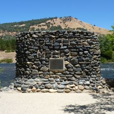
Slab Creek Dam
Discussion Reviews Photo
1.7k Popularity

Slab Creek Dam, Concrete arch dam in El Dorado County, California, US

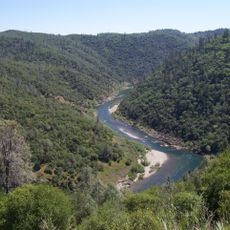
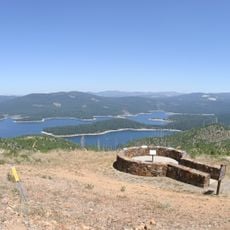
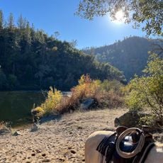
Slab Creek Dam is a concrete arch dam spanning the Upper South Fork American River high in the Sierra Nevada mountains. The structure holds back water that feeds into a connected series of hydroelectric facilities throughout the region.

The Sacramento Municipal Utility District built this dam in 1967 as part of a major hydroelectric project for the region. The facility became one of several dams constructed to meet growing energy demands in the area.

The dam forms part of an 11-dam system that produces renewable energy, supplying 20 percent of Sacramento's annual electricity requirements.

The dam site is remote and not developed for public visitation or access. Visitors interested in the facility should plan accordingly as nearby towns offer the closest services and amenities.

The dam's water release system underwent modifications in 2017, requiring complete river diversion and transforming the structure into a temporary 250-foot waterfall.

The community of curious travelers

AroundUs brings together thousands of curated places, local tips, and hidden gems, enriched daily by 60,000 contributors worldwide.

Start exploring
Location
Part of
Upper American River Project
GPS coordinates
38.77370,-120.69800
Latest update
August 5, 2026 02:45
Around this place
Auburn State Recreation Area
United States of America

Auburn State Recreation Area

26.3 km
Union Valley Reservoir
United States of America

Union Valley Reservoir

26.4 km
Pine Hill Ecological Reserve
United States of America

Pine Hill Ecological Reserve

26.1 km
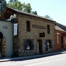
John Pearson Soda Works
United States of America

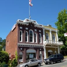
John Pearson Soda Works

9.9 km
Fountain-Tallman Soda Works
United States of America

Fountain-Tallman Soda Works

10 km
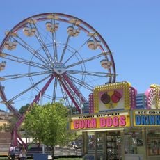
El Dorado County Fair
United States of America

El Dorado County Fair

12.8 km
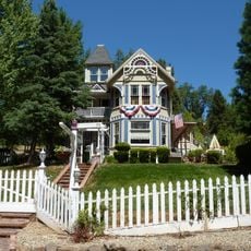
Combellack-Blair House
United States of America

Combellack-Blair House

9.9 km
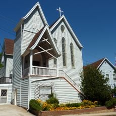
Church of Our Saviour
United States of America

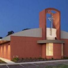
Church of Our Saviour

10.3 km
Faith Episcopal Church
United States of America

Faith Episcopal Church

30.2 km
Confidence Hall
United States of America

Confidence Hall

10.1 km
Eddy Arboretum
United States of America

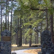
Eddy Arboretum

10 km
Coloma Resort
United States of America

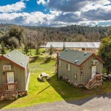
Coloma Resort

16.7 km
United States of America

Gold Discovery Museum

17.1 km
Sutter's Mill Site
United States of America

Sutter's Mill Site

17.2 km
United States of America

Bridal Veil Falls (busay sa Estados Unidos)

18 km
United States of America

Diamond Spring State Historic Landmark

13.5 km
United States of America

Ruby Canyon

17.8 km
United States of America

James W Marshall State Historical Monument

17.2 km
Pit Stop Beach
United States of America

Pit Stop Beach

24.7 km
United States of America

Leoni House

24.5 km
United States of America

Southwind Labradors

28 km
United States of America

Twin Bridges Swimming Hole

16.5 km
United States of America

Scenic viewpoint

24.7 km
United States of America

Scenic viewpoint

26.4 km
United States of America

Scenic viewpoint

22.2 km
United States of America

Rock Creek

7.2 km
United States of America

Bridal Veil Falls

18 km
United States of America

Waterfall

15.6 km
Show the full map
Reviews
Share your experience

No review yet

Discussions
Start a discussion...

No discussion yet

« Slab Creek Dam - Concrete arch dam in El Dorado County, California, US » is provided by Around Us (aroundus.com). Images and texts are derived from Wikimedia project under a Creative Commons license. You are allowed to copy, distribute, and modify copies of this page, under the conditions set by the license, as long as this note is clearly visible.

Discover hidden gems everywhere you go!

From secret cafés to breathtaking viewpoints, skip the crowded tourist spots and find places that match your style. Our app makes it easy with voice search, smart filtering, route optimization, and insider tips from travelers worldwide. Download now for the complete mobile experience.

Around Us App Screenshot

A unique approach to discovering new places

Le Figaro

All the places worth exploring

France Info

A tailor-made excursion in just a few clicks

20 Minutes

Around Us
Travel Guide & Maps
Download

Send to your phone

QR Code
1

Open the camera app on your mobile.

2

Point at the QR code with your camera. A notification will appear.

3

Tap the notification to open the link.