Enable Location

We need your location to show you interesting places around you

Discover nearby places

Find interesting locations and hidden gems around you

Precise directions

Get accurate directions and distances to places

Your location is never shared with other users. It's only used when you tap the location button.

Churchill County

Log in to your account

Start exploring — it's free

Trusted by 62,376 travelers worldwide

Continue with Google
Continue with Apple
or

We will send you a code to connect

By continuing, you accept our Terms and Conditions and our Privacy Policy

Check your inbox

We've sent a pincode in your inbox. Please enter the code below.

Churchill County, Administrative county in Nevada, US

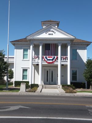
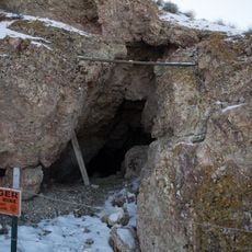
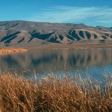
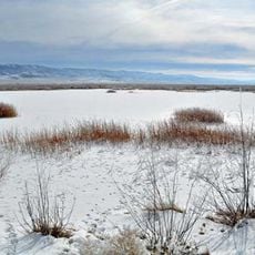
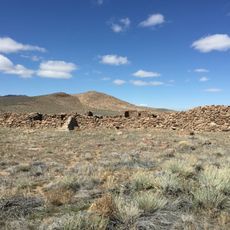
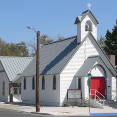
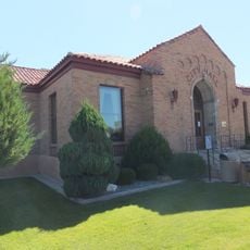
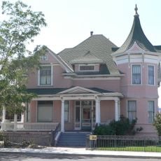
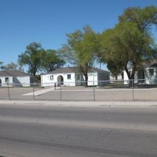
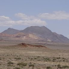
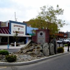
Churchill County is an administrative county in western Nevada that spans a large area with mountains, lakes, and desert landscapes. The region stretches between Reno and Las Vegas, with Fallon serving as its county seat and main population center.

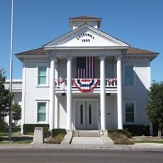
The county was established in 1861 and named after Brigadier General Sylvester Churchill, an officer from the Mexican-American War. Its creation during the Civil War era shaped early development in the region.

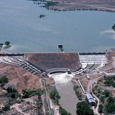
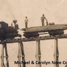
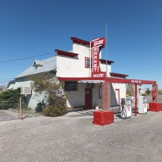
The area has long been shaped by irrigation and ranching, which remain visible in how the land is used and organized today. Local communities continue to depend on these activities, making them central to how people live and work throughout the region.

Interstate 80 and U.S. Route 50 run through the county and connect Fallon with major transportation hubs in Nevada. These highways make it easy to reach the area and travel between neighboring regions.

The county operates Churchill County Communications, a rare example of local government managing its own telecommunications company. This shows how communities can build their own infrastructure to serve residents.

The community of curious travelers

AroundUs brings together thousands of curated places, local tips, and hidden gems, enriched daily by 60,000 contributors worldwide.

Start exploring
Location
Inception
1861
Capital city
Fallon
Shares border with
Pershing County, Lyon County, Washoe County, Lander County, Nye County, Mineral County
GPS coordinates
39.60000,-118.34000
Latest update
December 22, 2025 13:32
Around this place
Lovelock Cave
United States of America

Lovelock Cave

44.5 km
Sand Mountain
United States of America

Sand Mountain

32.8 km
Lahontan State Recreation Area
United States of America

Lahontan State Recreation Area

69 km
Lahontan Dam
United States of America

Lahontan Dam

64.1 km
Humboldt Cave
United States of America

Humboldt Cave

45.3 km
Stillwater National Wildlife Refuge
United States of America

Stillwater National Wildlife Refuge

8.1 km
Fallon National Wildlife Refuge
United States of America

Fallon National Wildlife Refuge

29.2 km
United States of America

Leonard Rockshelter

45.9 km
United States of America

Stillwater Marsh Archaeological Locality

9.6 km
Cold Springs Pony Express Station Ruins
United States of America

Cold Springs Pony Express Station Ruins

47.8 km
Salmon Creek Railroad
United States of America

Salmon Creek Railroad

38.5 km
Cold Springs Station Site
United States of America

Cold Springs Station Site

47.8 km
Oats Park Grammar School
United States of America

Oats Park Grammar School

39.3 km
Harmon School
United States of America

Harmon School

32.3 km
Hazen Store
United States of America

Hazen Store

60.4 km
United States of America

Mount Augusta

36.8 km
Holy Trinity Episcopal Church
United States of America

Holy Trinity Episcopal Church

40.1 km
United States of America

Desatoya Peak

56.3 km
Churchill County Jail
United States of America

Churchill County Jail

40 km
Churchill County Courthouse
United States of America

Churchill County Courthouse

40.3 km
Fallon City Hall
United States of America

Fallon City Hall

40 km
Robert L. Douglass House
United States of America

Robert L. Douglass House

40 km
The Cottage Schools
United States of America

The Cottage Schools

39.9 km
Topog Peak
United States of America

Topog Peak

41.9 km
Maine Street Historic District
United States of America

Maine Street Historic District

40.1 km
United States of America

Douglass-Frey Ranch

43.5 km
United States of America

Grimes Point

33.9 km
Shoe Tree
United States of America

Shoe Tree

45.6 km
Show the full map
« Churchill County - Administrative county in Nevada, US » is provided by Around Us (aroundus.com). Images and texts are derived from Wikimedia project under a Creative Commons license. You are allowed to copy, distribute, and modify copies of this page, under the conditions set by the license, as long as this note is clearly visible.

Discover hidden gems everywhere you go!

From secret cafés to breathtaking viewpoints, skip the crowded tourist spots and find places that match your style. Our app makes it easy with voice search, smart filtering, route optimization, and insider tips from travelers worldwide. Download now for the complete mobile experience.

Around Us App Screenshot

A unique approach to discovering new places

Le Figaro

All the places worth exploring

France Info

A tailor-made excursion in just a few clicks

20 Minutes

Around Us
Travel Guide & Maps
Download

Send to your phone

QR Code
1

Open the camera app on your mobile.

2

Point at the QR code with your camera. A notification will appear.

3

Tap the notification to open the link.