Chest opened
+${chestReward.xp} XP
Explorer
NOUVEAU ×${chestReward.collectible.quantity}
tapez pour fermer

See the monuments around you in AR Open chests in the app

Around Us is built for your phone — point your camera at the streets and discover the monuments and places around you in augmented reality. Around Us is built for your phone — chests unlock when you walk, explore and capture nearby places.

Enable Location

We need your location to show you interesting places around you

Discover nearby places

Find interesting locations and hidden gems around you

Precise directions

Get accurate directions and distances to places

Your location is never shared with other users. It's only used when you tap the location button.

Cold Springs Pony Express Station Ruins

Log in to your account

Start exploring — it's free

Trusted by 85,538 travelers worldwide

Continue with Google
Continue with Apple
or

We will send you a code to connect

By continuing, you accept our Terms and Conditions and our Privacy Policy

Check your inbox

We've sent a pincode in your inbox. Please enter the code below.

Discussion Reviews 1 Photos
1.3k Popularity

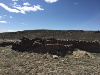
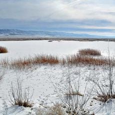
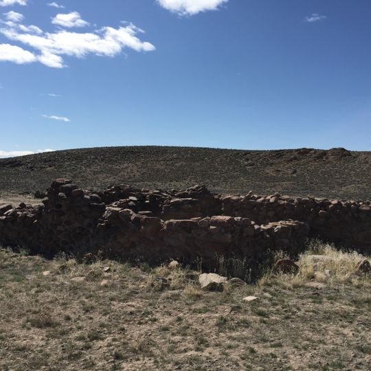
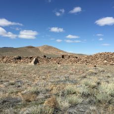
Cold Springs Pony Express Station Ruins, Historic Pony Express station ruins in Churchill County, Nevada.

Cold Springs Pony Express Station Ruins consist of stone walls with window openings, a fireplace, and corral remnants scattered across the property. The remains show how basic these relay stations were built and how they functioned to support the mail service.

The station was built in 1860 to serve as a relay point for the transcontinental mail route. It was abandoned in 1861 after armed conflicts made the region too dangerous for operations.

This place shows how communication networks connected remote western settlements and shaped daily life. Visitors can sense the isolation these stations faced and understand their role in linking distant communities.

The site is located along U.S. Route 50 east of Fallon and is open for day visits. There is parking available and restroom facilities on-site, making it easy to stop and explore.

A station keeper named Jose Zowgaltz was fatally wounded in 1860 while trying to reach safety during an armed attack. His story reveals the real dangers these workers faced in their daily work.

The community of curious travelers

AroundUs brings together thousands of curated places, local tips, and hidden gems, enriched daily by 60,000 contributors worldwide.
Start exploring
Location
GPS coordinates
39.39025,-117.85449
Latest update
September 4, 2026 13:49
Around this place
U.S. Route 50 in Nevada
United States of America

U.S. Route 50 in Nevada

115.8 mi
Lovelock Cave
United States of America

Lovelock Cave

54.5 mi
Berlin Historic District
United States of America

Berlin Historic District

37.6 mi
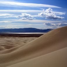
Sand Mountain
United States of America

Sand Mountain

29.6 mi
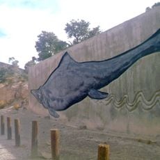
Berlin–Ichthyosaur State Park
United States of America

Berlin–Ichthyosaur State Park

38 mi
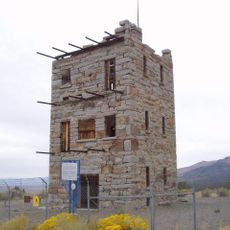
Stokes Castle
United States of America

Stokes Castle

42 mi
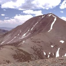
Arc Dome
United States of America

Arc Dome

47 mi
Arc Dome Wilderness
United States of America

Arc Dome Wilderness

49.6 mi
Humboldt Cave
United States of America

Humboldt Cave

57.4 mi
Stillwater National Wildlife Refuge
United States of America

Stillwater National Wildlife Refuge

34 mi
McGinness Hills Geothermal Complex
United States of America

McGinness Hills Geothermal Complex

52.2 mi
Fallon National Wildlife Refuge
United States of America

Fallon National Wildlife Refuge

47.5 mi
Salmon Creek Railroad
United States of America

Salmon Creek Railroad

49.6 mi
Cold Springs Station Site
United States of America

Cold Springs Station Site

0.1 mi
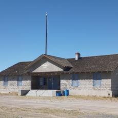
Oats Park Grammar School
United States of America

Oats Park Grammar School

49.1 mi
Austin Masonic and Odd Fellows Hall
United States of America

Austin Masonic and Odd Fellows Hall

42.5 mi
Harmon School
United States of America

Harmon School

45.1 mi
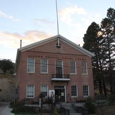
Lander County Courthouse
United States of America

Lander County Courthouse

42.5 mi
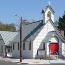
Holy Trinity Episcopal Church
United States of America

Holy Trinity Episcopal Church

49.5 mi
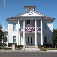
Churchill County Courthouse
United States of America

Churchill County Courthouse

49.8 mi
Fallon City Hall
United States of America

Fallon City Hall

49.6 mi
Austin City Hall
United States of America

Austin City Hall

42.4 mi
Robert L. Douglass House
United States of America

Robert L. Douglass House

49.6 mi
The Cottage Schools
United States of America

The Cottage Schools

49.4 mi
Austin Historic District
United States of America

Austin Historic District

42.5 mi
Topog Peak
United States of America

Topog Peak

54.9 mi
Maine Street Historic District
United States of America

Maine Street Historic District

49.6 mi
Ichthyosaur Site
United States of America

Ichthyosaur Site

38.4 mi
Show the full map
Reviews
Share your experience

No review yet

Discussions
Start a discussion...

No discussion yet

« Cold Springs Pony Express Station Ruins - Historic Pony Express station ruins in Churchill County, Nevada » is provided by Around Us (aroundus.com). Images and texts are derived from Wikimedia project under a Creative Commons license. You are allowed to copy, distribute, and modify copies of this page, under the conditions set by the license, as long as this note is clearly visible.

Discover hidden gems everywhere you go!

From secret cafés to breathtaking viewpoints, skip the crowded tourist spots and find places that match your style. Our app makes it easy with voice search, smart filtering, route optimization, and insider tips from travelers worldwide. Download now for the complete mobile experience.
Around Us App Screenshot

A unique approach to discovering new places

Le Figaro

All the places worth exploring

France Info

A tailor-made excursion in just a few clicks

20 Minutes

Around Us
Travel Guide & Maps
Download

Send to your phone

QR Code
1

Open the camera app on your mobile.

2

Point at the QR code with your camera. A notification will appear.

3

Tap the notification to open the link.