Eureka County, County administrative division in Nevada, US
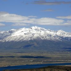
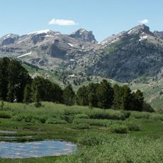
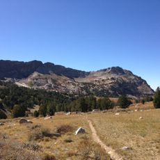
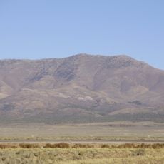
Eureka County is an administrative division in Nevada that encompasses mountainous terrain, including the Diamond Peak as its highest point. The region contains scattered settlements separated by long distances, with forests and valleys characterizing the landscape throughout.
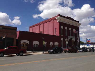
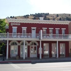
Silver discoveries in 1873 prompted rapid settlement and the creation of this county as a separate administrative area. The mining boom that followed established the pattern of settlement and community development across the region.
The county's identity is rooted in its silver mining past, which shaped how settlements developed and how people built their communities here. Walking through the landscape, you can sense how these economic roots still influence the character of the places you encounter.
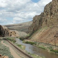
U.S. Route 50 connects Eureka with other parts of Nevada and serves as the main road through the region. Visitors should plan for long distances between services, gas stations, and amenities when traveling here.
Diamond Peak serves as a natural boundary marker between this county and White Pine County to the east. This prominent summit is something many travelers notice when crossing the mountain terrain in the area.
The community of curious travelers
AroundUs brings together thousands of curated places, local tips, and hidden gems, enriched daily by 60,000 contributors worldwide.