Enable Location

We need your location to show you interesting places around you

Discover nearby places

Find interesting locations and hidden gems around you

Precise directions

Get accurate directions and distances to places

Your location is never shared with other users. It's only used when you tap the location button.

Eureka

Log in to your account

Start exploring — it's free

Trusted by 62,843 travelers worldwide

Continue with Google
Continue with Apple
or

We will send you a code to connect

By continuing, you accept our Terms and Conditions and our Privacy Policy

Check your inbox

We've sent a pincode in your inbox. Please enter the code below.

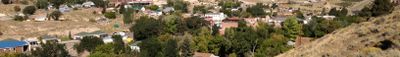
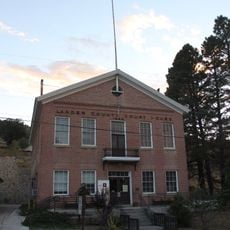
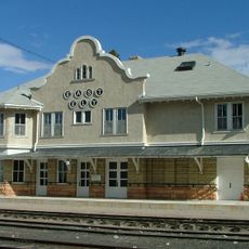
Eureka, Mining settlement in Eureka County, Nevada, United States

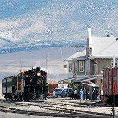
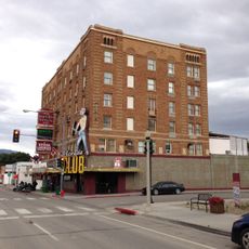
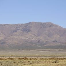
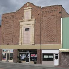
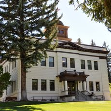
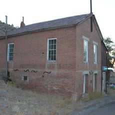
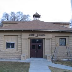
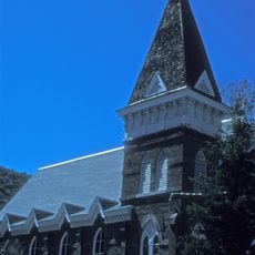
Eureka is a former mining settlement located in the Nevada mountains at about 1,975 meters elevation, with preserved buildings from the 1800s lining the main street. The structures showcase the architectural style and layout typical of Nevada mining towns from that era.

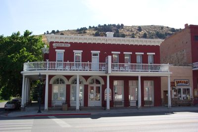
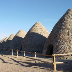
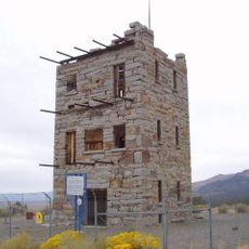
The settlement grew rapidly after silver ore was discovered in 1864, becoming a major center during the mining boom. The structures built during this prosperous period remain as evidence of the community's former importance.

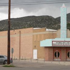
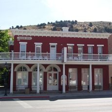
The Opera House built in 1880 still hosts performances today and reflects how mining communities valued entertainment and gathering places. Walking through town, you can see how residents have kept these buildings as expressions of their heritage.

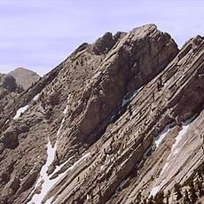
The high mountain location means cooler weather and mountainous terrain, so plan accordingly with appropriate clothing and footwear. Services are run by volunteers, which may affect hours and availability, so arriving during daylight is advisable.

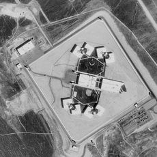
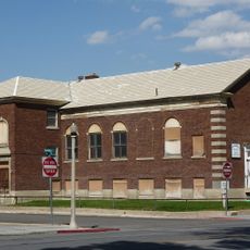
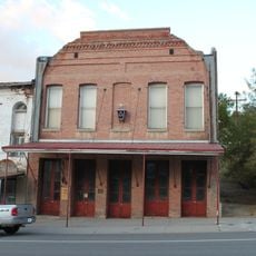
The Eureka Sentinel Museum occupies an 1879 newspaper building and displays mining equipment and original documents from the early operations. The building itself tells stories of how news was made and shared during the mining boom.

The community of curious travelers

AroundUs brings together thousands of curated places, local tips, and hidden gems, enriched daily by 60,000 contributors worldwide.

Start exploring
Location
Elevation above the sea
1,975 m
GPS coordinates
39.51170,-115.96200
Latest update
December 20, 2025 12:06
Around this place
Ely State Prison
United States of America

Ely State Prison

89.1 km
Ward Charcoal Ovens State Historic Park
United States of America

Ward Charcoal Ovens State Historic Park

109.6 km
Nevada Northern Railway Museum
United States of America

Nevada Northern Railway Museum

98.2 km
Stokes Castle
United States of America

Stokes Castle

96 km
Hotel Nevada and Gambling Hall
United States of America

Hotel Nevada and Gambling Hall

96.6 km
Cave Lake State Park
United States of America

Cave Lake State Park

112.6 km
Ruby Lake National Wildlife Refuge
United States of America

Ruby Lake National Wildlife Refuge

86.7 km
Fort Ruby
United States of America

Fort Ruby

72.1 km
Red Mountain Wilderness
United States of America

Red Mountain Wilderness

86 km
McGinness Hills Geothermal Complex
United States of America

McGinness Hills Geothermal Complex

82 km
Goshute Canyon Wilderness
United States of America

Goshute Canyon Wilderness

109.9 km
Currant Mountain Wilderness
United States of America

Currant Mountain Wilderness

81.3 km
Toquima Cave
United States of America

Toquima Cave

79.7 km
Diamond Peak
United States of America

Diamond Peak

14.8 km
Central Theatre
United States of America

Central Theatre

97.3 km
Currant Mountain
United States of America

Currant Mountain

81.5 km
Ely L.D.S. Stake Tabernacle
United States of America

Ely L.D.S. Stake Tabernacle

96.9 km
Capital Theatre
United States of America

Capital Theatre

96.5 km
White Pine County Courthouse
United States of America

White Pine County Courthouse

97 km
Austin Masonic and Odd Fellows Hall
United States of America

Austin Masonic and Odd Fellows Hall

95.1 km
Eureka Historic District
United States of America

Eureka Historic District

278 m
Lander County Courthouse
United States of America

Lander County Courthouse

95.2 km
Austin City Hall
United States of America

Austin City Hall

95.3 km
Lund Grade School
United States of America

Lund Grade School

109.8 km
Austin Historic District
United States of America

Austin Historic District

95.3 km
Nevada Northern Railway East Ely Yards and Shops
United States of America

Nevada Northern Railway East Ely Yards and Shops

98.2 km
East Ely Depot
United States of America

East Ely Depot

98.2 km
Ward Charcoal Ovens
United States of America

Ward Charcoal Ovens

109.6 km
Show the full map
« Eureka - Mining settlement in Eureka County, Nevada, United States » is provided by Around Us (aroundus.com). Images and texts are derived from Wikimedia project under a Creative Commons license. You are allowed to copy, distribute, and modify copies of this page, under the conditions set by the license, as long as this note is clearly visible.

Discover hidden gems everywhere you go!

From secret cafés to breathtaking viewpoints, skip the crowded tourist spots and find places that match your style. Our app makes it easy with voice search, smart filtering, route optimization, and insider tips from travelers worldwide. Download now for the complete mobile experience.

Around Us App Screenshot

A unique approach to discovering new places

Le Figaro

All the places worth exploring

France Info

A tailor-made excursion in just a few clicks

20 Minutes

Around Us
Travel Guide & Maps
Download

Send to your phone

QR Code
1

Open the camera app on your mobile.

2

Point at the QR code with your camera. A notification will appear.

3

Tap the notification to open the link.