Enable Location

We need your location to show you interesting places around you

Discover nearby places

Find interesting locations and hidden gems around you

Precise directions

Get accurate directions and distances to places

Your location is never shared with other users. It's only used when you tap the location button.

Lyon County

Log in to your account

Start exploring — it's free

Trusted by 62,835 travelers worldwide

Continue with Google
Continue with Apple
or

We will send you a code to connect

By continuing, you accept our Terms and Conditions and our Privacy Policy

Check your inbox

We've sent a pincode in your inbox. Please enter the code below.

Lyon County

Lyon County, County in Nevada, United States

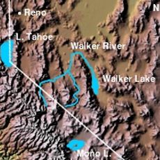
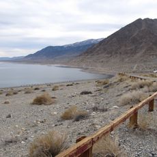
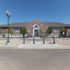
Lyon County spreads across Nevada's landscape, connecting settled areas with open land between the Reno and Carson City regions. The territory includes several towns, with Fernley and Yerington serving as centers of local activity.

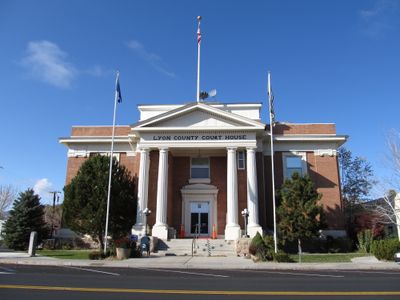
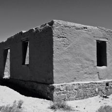
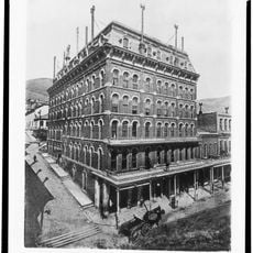
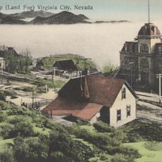
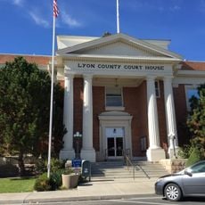
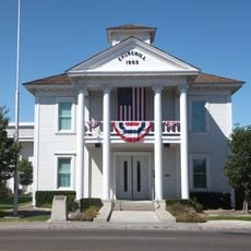
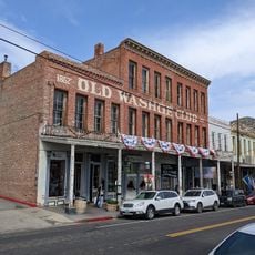
The area was established in 1861 and named for Nathaniel Lyon, a Union officer from the Civil War era. Dayton initially served as the county seat before the administrative center moved to Yerington in 1911.

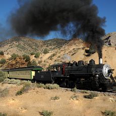
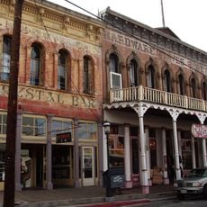
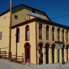
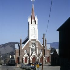
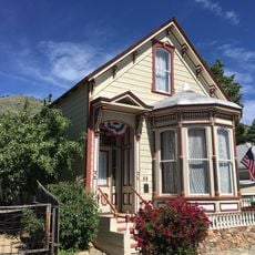
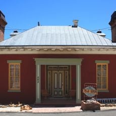
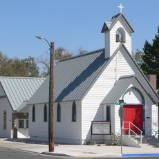
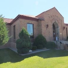
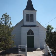
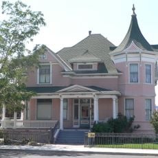
Small towns here maintain traditions rooted in the region's past, visible in local gatherings and community events throughout the year. Residents actively shape their towns through regular celebrations that bring people together.

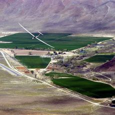
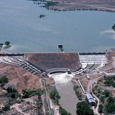
The region has several small airports serving local air traffic, including Yerington Municipal Airport. Interstate 80 provides the main road connection for travelers passing through or between the towns.

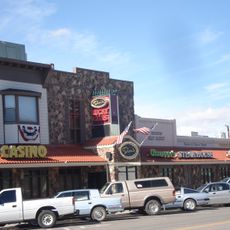
The area permits multiple licensed gambling venues and remains one of the few Nevada jurisdictions allowing regulated adult entertainment businesses. This legal framework sets it apart from many other parts of the state.

The community of curious travelers

AroundUs brings together thousands of curated places, local tips, and hidden gems, enriched daily by 60,000 contributors worldwide.

Start exploring
Location
Inception
1861
Capital city
Yerington
Shares border with
Washoe County, Churchill County, Mineral County, Storey County, Douglas County, Mono County, Carson City
GPS coordinates
39.01000,-119.19000
Latest update
December 14, 2025 20:26
Around this place
Virginia and Truckee Railroad
United States of America

Virginia and Truckee Railroad

51.3 km
Topaz Lake
United States of America

Topaz Lake

47.4 km
Old Washoe Club
United States of America

Old Washoe Club

51.8 km
Fort Churchill State Historic Park
United States of America

Fort Churchill State Historic Park

32.2 km
Walker River
United States of America

Walker River

25.5 km
Flying-M Ranch
United States of America

Flying-M Ranch

48.1 km
Virginia City Historic District
United States of America

Virginia City Historic District

51.8 km
Piper's Opera House
United States of America

Piper's Opera House

52.1 km
St. Mary's in the Mountains Catholic Church
United States of America

St. Mary's in the Mountains Catholic Church

51.7 km
International Hotel
United States of America

International Hotel

51.9 km
Fourth Ward School
United States of America

Fourth Ward School

51.6 km
Lahontan State Recreation Area
United States of America

Lahontan State Recreation Area

46.5 km
Walker Lake State Recreation Area
United States of America

Walker Lake State Recreation Area

50.7 km
Dini's Lucky Club
United States of America

Dini's Lucky Club

3.3 km
Henry Piper House
United States of America

Henry Piper House

52 km
Lyon County Courthouse
United States of America

Lyon County Courthouse

3.5 km
Salmon Creek Railroad
United States of America

Salmon Creek Railroad

65.9 km
Knights of Pythias Building
United States of America

Knights of Pythias Building

52 km
St. Paul's Episcopal Church
United States of America

St. Paul's Episcopal Church

51.7 km
Oats Park Grammar School
United States of America

Oats Park Grammar School

63.2 km
Chollar Mansion
United States of America

Chollar Mansion

51.4 km
Holy Trinity Episcopal Church
United States of America

Holy Trinity Episcopal Church

62.5 km
Churchill County Courthouse
United States of America

Churchill County Courthouse

62.6 km
Fallon City Hall
United States of America

Fallon City Hall

62.8 km
Wadsworth Union Church
United States of America

Wadsworth Union Church

70.1 km
Robert L. Douglass House
United States of America

Robert L. Douglass House

62.8 km
The Cottage Schools
United States of America

The Cottage Schools

62.7 km
Washoe Club Museum & Saloon
United States of America

Washoe Club Museum & Saloon

51.8 km
Show the full map
« Lyon County - County in Nevada, United States » is provided by Around Us (aroundus.com). Images and texts are derived from Wikimedia project under a Creative Commons license. You are allowed to copy, distribute, and modify copies of this page, under the conditions set by the license, as long as this note is clearly visible.

Discover hidden gems everywhere you go!

From secret cafés to breathtaking viewpoints, skip the crowded tourist spots and find places that match your style. Our app makes it easy with voice search, smart filtering, route optimization, and insider tips from travelers worldwide. Download now for the complete mobile experience.

Around Us App Screenshot

A unique approach to discovering new places

Le Figaro

All the places worth exploring

France Info

A tailor-made excursion in just a few clicks

20 Minutes

Around Us
Travel Guide & Maps
Download

Send to your phone

QR Code
1

Open the camera app on your mobile.

2

Point at the QR code with your camera. A notification will appear.

3

Tap the notification to open the link.