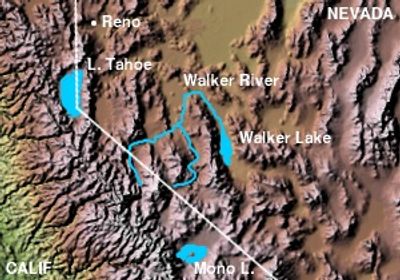
Walker River, Brook in Mineral County, US
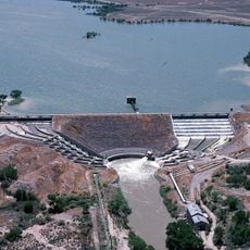
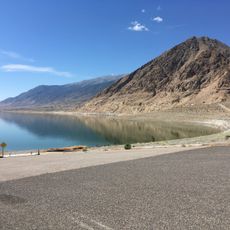
Walker River is a river in western Nevada that flows through a broad valley before emptying into Walker Lake. It has two main branches, the East and West Walker, that join together and run through Mineral County.
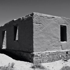
The river was named after explorer Joseph Reddeford Walker, who crossed the Sierra Nevada in the 1830s and opened routes westward. Before his arrival, Northern Paiute communities had lived along its banks for centuries.
The river has long been central to Northern Paiute life, providing water and sustenance for communities in this region. Visitors today can see how the waterway continues to shape the land and local practices.
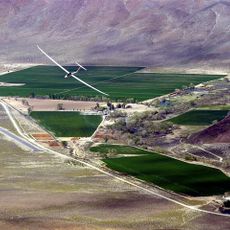
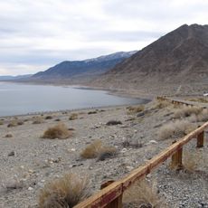
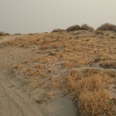
The river is easy to reach from the roads and farm tracks that cross the valley. Water levels change a lot by season, so the river can be very shallow in some sections during summer.
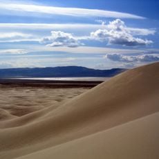
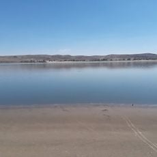
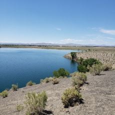
Walker Lake, where the river ends, has lost so much water over recent decades that its salt content has risen sharply and threatened native fish populations. This makes the lake one of the few inland lakes in the American West to have changed so visibly within living memory.
The community of curious travelers
AroundUs brings together thousands of curated places, local tips, and hidden gems, enriched daily by 60,000 contributors worldwide.