Mineral County

Log in to your account

AroundUs is a community-driven map of interesting places, built by curious explorers like you. It grows with every review, story, and photo you share.
Connect to save your favorite spots, contribute locations, and create personalized routes.
By continuing, you accept our Terms and Conditions and our Privacy Policy
Add to collection
Map
Suggest a change
Share

Mineral County, Administrative division in western Nevada, United States.

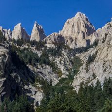
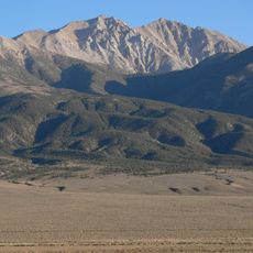
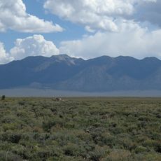
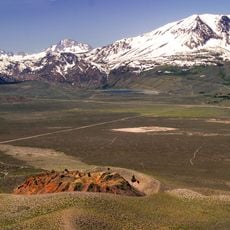
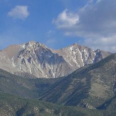
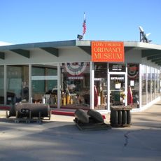
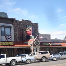
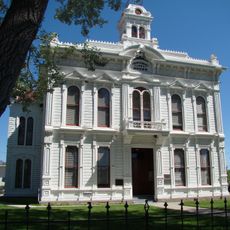
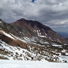
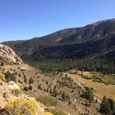
Mineral County is an administrative area in western Nevada covering large stretches of desert and mountain terrain, with Mount Grant standing as the highest peak. The county is sparsely populated, with Hawthorne as its main town and several smaller settlements scattered throughout.

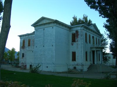
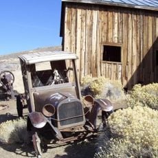
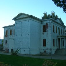
The county was formed in 1911 from territory previously part of Esmeralda County, after the region had been governed from Aurora. Hawthorne then became the administrative center for the developing area.

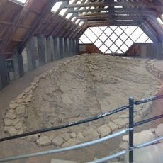
Native American tribes maintain communities throughout the county, and their traditions shape how people live in the region today. You can see this reflected in local gatherings and the way settlements are organized.

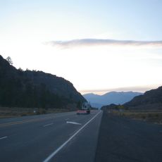
The region is accessible by U.S. Routes 95 and 6, which serve as the main roads connecting to neighboring areas. Travel through the county requires planning since distances are large and services are scattered.

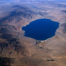
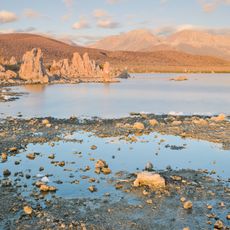
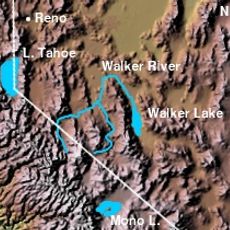
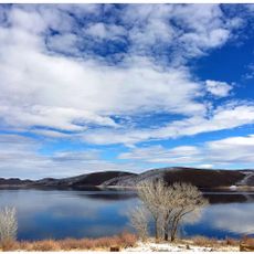
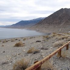
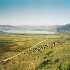
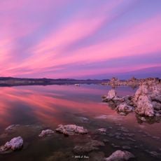
Walker Lake is one of Nevada's largest natural lakes and sits entirely within the county, home to native fish species and many water birds. The lake draws birdwatchers and offers a window into the high desert's natural world.

Location: Nevada

Inception: 1911

Capital city: Hawthorne

Shares border with: Churchill County, Esmeralda County, Nye County, Lyon County, Mono County

Website: http://mineralcountynv.us

GPS coordinates: 38.54000,-118.43000

Latest update: December 7, 2025 10:08

Around this place
Show the full map
Hawthorne Army Depot
United States of America

Hawthorne Army Depot

21 km
Inyo National Forest
United States of America

Inyo National Forest

77.5 km
Boundary Peak
United States of America

Boundary Peak

77.6 km
Berlin Historic District
United States of America

Berlin Historic District

81 km
Glass Mountain
United States of America

Glass Mountain

88.6 km
Mono Lake Tufa State Natural Reserve
United States of America

Mono Lake Tufa State Natural Reserve

84.6 km
Walker River
United States of America

Walker River

72.9 km
Berlin–Ichthyosaur State Park
United States of America

Berlin–Ichthyosaur State Park

81.7 km
Flying-M Ranch
United States of America

Flying-M Ranch

50.4 km
Mono Basin
United States of America

Mono Basin

79.9 km
Panum Crater
United States of America

Panum Crater

86.7 km
Devil's Gate Pass
United States of America

Devil's Gate Pass

84 km
Montgomery Peak
United States of America

Montgomery Peak

78.4 km
Bridgeport Reservoir
United States of America

Bridgeport Reservoir

75.3 km
Hawthorne Ordnance Museum
United States of America

Hawthorne Ordnance Museum

17 km
Walker Lake State Recreation Area
United States of America

Walker Lake State Recreation Area

34.1 km
Mono Basin National Scenic Area
United States of America

Mono Basin National Scenic Area

85.6 km
Dini's Lucky Club
United States of America

Dini's Lucky Club

80.9 km
Mono County Courthouse
United States of America

Mono County Courthouse

76.5 km
Lyon County Courthouse
United States of America

Lyon County Courthouse

80.7 km
Mineral County Museum
United States of America

Mineral County Museum

17 km
Sixth Street School
United States of America

Sixth Street School

17 km
Dunderberg Peak
United States of America

Dunderberg Peak

90.8 km
Mineral County Courthouse
United States of America

Mineral County Courthouse

16.9 km
Lee Vining Canyon
United States of America

Lee Vining Canyon

94.1 km
Mono Lake Volcanic Field
United States of America

Mono Lake Volcanic Field

79.8 km
Ichthyosaur Site
United States of America

Ichthyosaur Site

81.8 km
Macedonia Baptist Church
United States of America

Macedonia Baptist Church

17.1 km
Show the full map

Reviews

Visited this place? Tap the stars to rate it and share your experience / photos with the community! Try now! You can cancel it anytime.

« Mineral County - Administrative division in western Nevada, United States » is provided by Around Us (aroundus.com). Images and texts are derived from Wikimedia project under a Creative Commons license. You are allowed to copy, distribute, and modify copies of this page, under the conditions set by the license, as long as this note is clearly visible.

Discover hidden gems everywhere you go!

From secret cafés to breathtaking viewpoints, skip the crowded tourist spots and find places that match your style. Our app makes it easy with voice search, smart filtering, route optimization, and insider tips from travelers worldwide. Download now for the complete mobile experience.

Around Us App Screenshot

A unique approach to discovering new places

Le Figaro

All the places worth exploring

France Info

A tailor-made excursion in just a few clicks

20 Minutes