Chest opened
+${chestReward.xp} XP
Explorer
NOUVEAU ×${chestReward.collectible.quantity}
tapez pour fermer

See the monuments around you in AR Open chests in the app

Around Us is built for your phone — point your camera at the streets and discover the monuments and places around you in augmented reality. Around Us is built for your phone — chests unlock when you walk, explore and capture nearby places.

•

Enable Location

We need your location to show you interesting places around you

Discover nearby places

Find interesting locations and hidden gems around you

Precise directions

Get accurate directions and distances to places

Your location is never shared with other users. It's only used when you tap the location button.

City of Rocks National Reserve

Log in to your account

Start exploring — it's free

Trusted by 93,251 travelers worldwide

Continue with Google
Continue with Apple
or

We will send you a code to connect

By continuing, you accept our Terms and Conditions and our Privacy Policy

Check your inbox

We've sent a pincode in your inbox. Please enter the code below.

City of Rocks National Reserve, National reserve and state park with granite formations in Cassia County, Idaho, United States

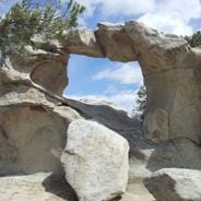
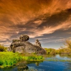
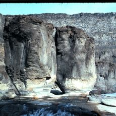
City of Rocks National Reserve is a 58.3 km² (14,400-acre) protected area in Cassia County, south-central Idaho, about 2 miles north of the Utah border. Its granite spires and monoliths belong to the Oligocene Almo pluton and Archean Green Creek Complex. A rectangular opening pierces one pale gray rock, and a long horizontal stone arm with a shallow fissure lies nearby.

Peter Skene Ogden's Snake River beaver trappers were the first Euro-Americans to note the rocks in 1826, but the area was ignored until 1843, when wagons began rolling through. The City of Rocks and nearby Granite Pass marked roughly halfway to California, and in 1852 some 52,000 people passed through on the way to the gold rush. Samuel J. Hensley's 1848 Salt Lake Cutoff rejoined the main trail here, and John Halley's stage line from Kelton, Utah, to Boise later used the same corridor.

The Shoshone and Bannock hunted bison in the area and gathered pinyon pine nuts; emigrant journals from the 1840s record smoke rising from the surrounding hills. The reserve's name comes from the emigrants, who thought the distant spires looked like a city; climbers now call it simply "The City".

The reserve holds more than 1,000 traditional and bolt-protected climbing routes, and climbers locally call the area "The City". Camp Rock was a favored campsite for emigrants and remains a place to camp. The reserve lies about 2 miles (3.2 km) north of the Utah border in Cassia County, off the route through Granite Pass.

The granite spires are part of the Oligocene Almo pluton, while the surrounding rock includes the much older Archean Green Creek Complex. Climbers in the region simply call the reserve "The City". In the 1980s Idaho climber Tony Yaniro developed some of the country's hardest routes here.

The community of curious travelers

AroundUs brings together thousands of curated places, local tips, and hidden gems, enriched daily by 93,251 contributors worldwide.

Start exploring
Location
Inception
1988
Operator
National Park Service;Idaho Department of Parks and Recreation
GPS coordinates
42.07250,-113.70613
Latest update
October 29, 2026 08:58
Hidden gems in Idaho : remote lakes, volcanic landscapes, historic mining towns

Idaho's remote locations offer access to diverse landscapes ranging from alpine lakes nestled in mountain ranges to volcanic formations and high desert terrain. The state contains geological features formed over thousands of years, including lava tubes that preserve ice year-round, sand dunes rising...

Rock formations and hoodoos for Instagram photos

Rock pillars and spires shaped by erosion stand as natural monuments across various locations worldwide. These geological structures, known as hoodoos, display different colors and shapes based on their mineral composition and environmental conditions. From the red rocks of Utah to the limestone...

Around this place
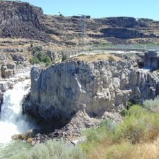
Shoshone Falls
United States of America

Shoshone Falls

50.8 mi
Snake River Canyon
United States of America

Snake River Canyon

51.3 mi
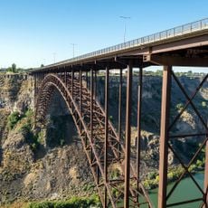
Perrine Bridge
United States of America

Perrine Bridge

52.9 mi
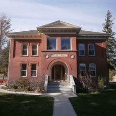
Albion State Normal School
United States of America

Albion State Normal School

24.4 mi
Twin Falls
United States of America

Twin Falls

48.8 mi
Register Rock
United States of America

Register Rock

53.4 mi
Castle Rocks State Park
United States of America

Castle Rocks State Park

4.7 mi
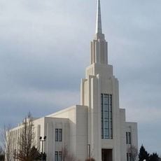
Twin Falls Idaho Temple
United States of America

Twin Falls Idaho Temple

51.8 mi
Hogup Cave
United States of America

Hogup Cave

50.4 mi
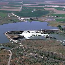
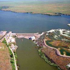
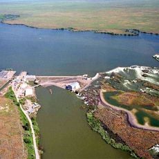
Milner Dam
United States of America

Milner Dam

34.9 mi
Lake Walcott State Park
United States of America

Lake Walcott State Park

43.3 mi
Lake Walcott
United States of America

Lake Walcott

45 mi
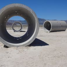
Sun Tunnels
United States of America

Sun Tunnels

53.8 mi
Pillar Falls
United States of America

Pillar Falls

52 mi
Hansen Bridge
United States of America

Hansen Bridge

45.7 mi
Minidoka National Wildlife Refuge
United States of America

Minidoka National Wildlife Refuge

44.4 mi
A. N. Tanner House
United States of America

A. N. Tanner House

27.3 mi
Empire School
United States of America

Empire School

34.9 mi
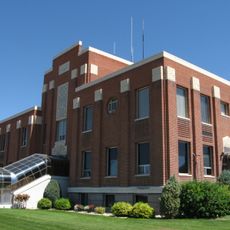
Cassia County Courthouse
United States of America

Cassia County Courthouse

32.3 mi
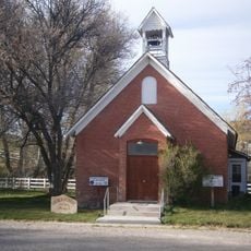
Albion Methodist Church
United States of America

Albion Methodist Church

24.5 mi
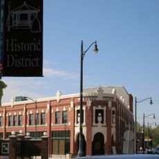
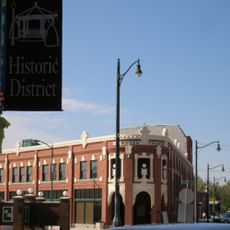
Rupert Town Square Historic District
United States of America

Rupert Town Square Historic District

38 mi
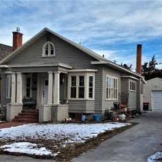
Burton Morse House
United States of America

Burton Morse House

51.4 mi
Lincoln Elementary School
United States of America

Lincoln Elementary School

51.9 mi
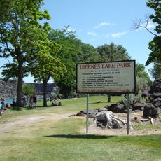
Dierkes Lake Park
United States of America

Dierkes Lake Park

50.3 mi
Twin Falls City Park Historic District
United States of America

Twin Falls City Park Historic District

51.4 mi
Wilson Theatre
United States of America

Wilson Theatre

37.7 mi
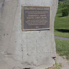
Shoshone Falls Park
United States of America

Shoshone Falls Park

50.8 mi
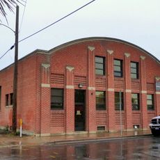
Twin Falls Milling and Elevator Company Warehouse
United States of America

Twin Falls Milling and Elevator Company Warehouse

51.4 mi
Show the full map
Reviews
Share your experience

No review yet

Discussions
Start a discussion...

No discussion yet

« City of Rocks National Reserve - National reserve and state park with granite formations in Cassia County, Idaho, United States » is provided by Around Us (aroundus.com). Images and texts are derived from Wikimedia project under a Creative Commons license. You are allowed to copy, distribute, and modify copies of this page, under the conditions set by the license, as long as this note is clearly visible.

Discover hidden gems everywhere you go!

From secret cafés to breathtaking viewpoints, skip the crowded tourist spots and find places that match your style. Our app makes it easy with voice search, smart filtering, route optimization, and insider tips from travelers worldwide. Download now for the complete mobile experience.
Around Us App Screenshot
❝

A unique approach to discovering new places❞

— Le Figaro

❝

All the places worth exploring❞

— France Info

❝

A tailor-made excursion in just a few clicks❞

— 20 Minutes

Around Us
Travel Guide & Maps
Download

Send to your phone

QR Code
1

Open the camera app on your mobile.

2

Point at the QR code with your camera. A notification will appear.

3

Tap the notification to open the link.