Chest opened
+${chestReward.xp} XP
Explorer
NOUVEAU ×${chestReward.collectible.quantity}
tapez pour fermer

See the monuments around you in AR Open chests in the app

Around Us is built for your phone — point your camera at the streets and discover the monuments and places around you in augmented reality. Around Us is built for your phone — chests unlock when you walk, explore and capture nearby places.

Enable Location

We need your location to show you interesting places around you

Discover nearby places

Find interesting locations and hidden gems around you

Precise directions

Get accurate directions and distances to places

Your location is never shared with other users. It's only used when you tap the location button.

Hansen Bridge

Log in to your account

Start exploring — it's free

Trusted by 85,923 travelers worldwide

Continue with Google
Continue with Apple
or

We will send you a code to connect

By continuing, you accept our Terms and Conditions and our Privacy Policy

Check your inbox

We've sent a pincode in your inbox. Please enter the code below.

Hansen Bridge
Discussion Reviews 1 Photos
2.4k Popularity

Hansen Bridge, Road bridge in Jerome County, Idaho, United States.

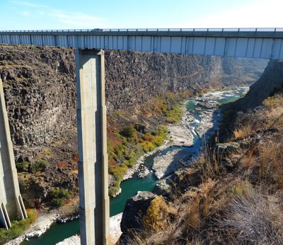
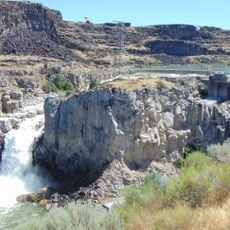
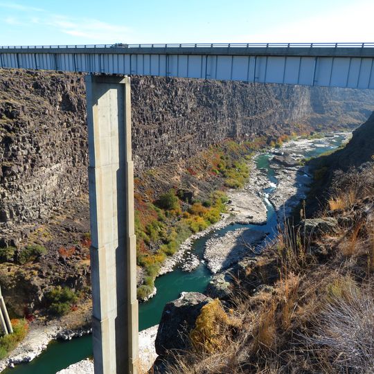
Hansen Bridge is a road bridge in Jerome County that spans the Snake River Canyon using three steel girder spans supported by two concrete piers. The structure accommodates daily traffic across a deck designed for vehicular passage through the canyon.

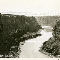
The structure was built in 1966, replacing an earlier suspension bridge from 1919 that had once held the record as one of North America's highest bridges.

The bridge carries the name Veterans Memorial Bridge, honoring military service and those who served. It functions as a symbol connecting two communities and the people who cross between them daily.

The bridge carries Idaho State Highway 50 and offers clear views across the canyon as you travel. Be prepared for windy conditions, especially near the railings, which are common in this area.

The two concrete support piers rank among the tallest ever constructed in the United States, a technical detail that often goes unnoticed by visitors. This engineering choice was necessary to bridge such a deep gorge safely.

The community of curious travelers

AroundUs brings together thousands of curated places, local tips, and hidden gems, enriched daily by 60,000 contributors worldwide.
Start exploring
Location
Inception
1966
GPS coordinates
42.56640,-114.29980
Latest update
September 11, 2026 22:30
Around this place
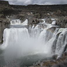
Shoshone Falls
United States of America

Shoshone Falls

5.6 mi
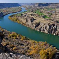
Snake River Canyon
United States of America

Snake River Canyon

6.2 mi
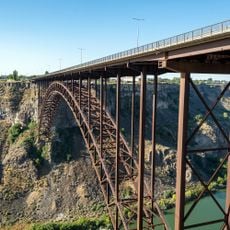
Perrine Bridge
United States of America

Perrine Bridge

8.2 mi
Twin Falls
United States of America

Twin Falls

3.2 mi
Wilson Butte Cave
United States of America

Wilson Butte Cave

15.7 mi
Twin Falls Idaho Temple
United States of America

Twin Falls Idaho Temple

7.4 mi
Pillar Falls
United States of America

Pillar Falls

7.1 mi
Archie Webster House
United States of America

Archie Webster House

15.9 mi
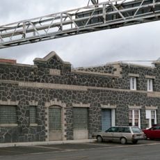
Jerome Cooperative Creamery
United States of America

Jerome Cooperative Creamery

15.6 mi
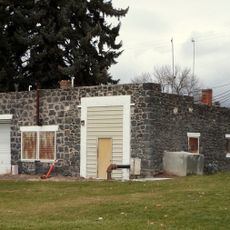
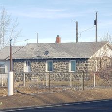
Jerome City Pump House
United States of America

Jerome City Pump House

15.2 mi
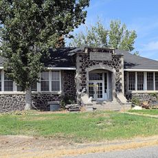
Falls City School House
United States of America

Falls City School House

10.1 mi
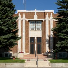
Jerome County Courthouse
United States of America

Jerome County Courthouse

15.7 mi
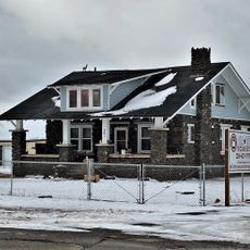
Frank J. Brick House
United States of America

Frank J. Brick House

15.3 mi
Julian T. Ricketts House
United States of America

Julian T. Ricketts House

10 mi
E. C. Gleason House
United States of America

E. C. Gleason House

15.4 mi
Dick Callen House
United States of America

Dick Callen House

13.4 mi
Jacob B. Van Wagener Barn
United States of America

Jacob B. Van Wagener Barn

10.8 mi
Edgar Johnson House
United States of America

Edgar Johnson House

13.2 mi
Joseph Mandl House
United States of America

Joseph Mandl House

15.5 mi
George Epperson House
United States of America

George Epperson House

11 mi
O. J. Daniels House
United States of America

O. J. Daniels House

12.7 mi
John F. Schmerschall House
United States of America

John F. Schmerschall House

15.5 mi
Burton Morse House
United States of America

Burton Morse House

8.2 mi
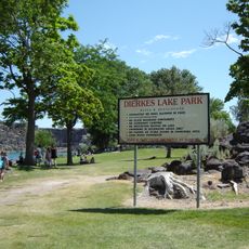
Dierkes Lake Park
United States of America

Dierkes Lake Park

5 mi
Twin Falls City Park Historic District
United States of America

Twin Falls City Park Historic District

8.5 mi
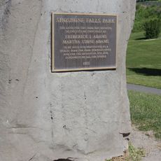
Shoshone Falls Park
United States of America

Shoshone Falls Park

5.7 mi
Twin Falls Milling and Elevator Company Warehouse
United States of America

Twin Falls Milling and Elevator Company Warehouse

8.9 mi
Hansen Bridge
United States of America

Hansen Bridge

0 ft
Show the full map
Reviews
Share your experience

No review yet

Discussions
Start a discussion...

No discussion yet

« Hansen Bridge - Road bridge in Jerome County, Idaho, United States » is provided by Around Us (aroundus.com). Images and texts are derived from Wikimedia project under a Creative Commons license. You are allowed to copy, distribute, and modify copies of this page, under the conditions set by the license, as long as this note is clearly visible.

Discover hidden gems everywhere you go!

From secret cafés to breathtaking viewpoints, skip the crowded tourist spots and find places that match your style. Our app makes it easy with voice search, smart filtering, route optimization, and insider tips from travelers worldwide. Download now for the complete mobile experience.
Around Us App Screenshot

A unique approach to discovering new places

Le Figaro

All the places worth exploring

France Info

A tailor-made excursion in just a few clicks

20 Minutes

Around Us
Travel Guide & Maps
Download

Send to your phone

QR Code
1

Open the camera app on your mobile.

2

Point at the QR code with your camera. A notification will appear.

3

Tap the notification to open the link.