Enable Location

We need your location to show you interesting places around you

Discover nearby places

Find interesting locations and hidden gems around you

Precise directions

Get accurate directions and distances to places

Your location is never shared with other users. It's only used when you tap the location button.

Jerome County

Log in to your account

Start exploring — it's free

Trusted by 62,921 travelers worldwide

Continue with Google
Continue with Apple
or

We will send you a code to connect

By continuing, you accept our Terms and Conditions and our Privacy Policy

Check your inbox

We've sent a pincode in your inbox. Please enter the code below.

Discussion Reviews 1 Photos
8.9k Popularity

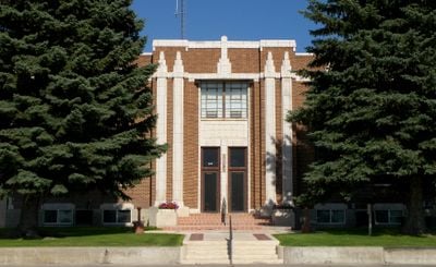
Jerome County, County in south-central Idaho, United States.

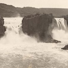
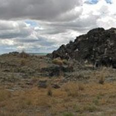
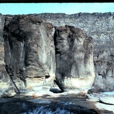
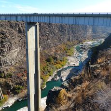
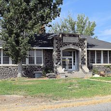
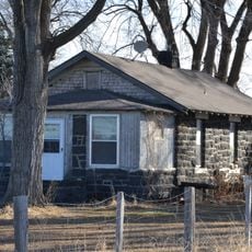
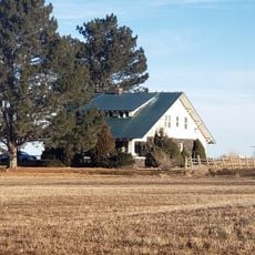
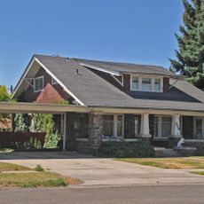
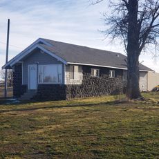
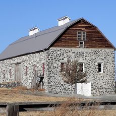
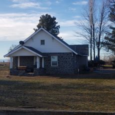
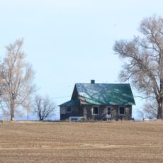
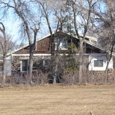
Jerome County is an administrative division in south-central Idaho covering agricultural areas in a semi-arid region. The landscape consists mainly of farmland and ranching areas, with small communities scattered throughout.

The territory was separated from Lincoln County in 1919 and established as an independent administrative region. This division allowed better management of the area's growing agricultural communities.

Local farming traditions shape life throughout the county, with dairy operations and crop cultivation defining much of the landscape and community rhythm.

When visiting, keep in mind that the area is rural with significant distances between towns. Plan extra time for driving between the various communities.

Near Hunt was an internment camp built during World War II where Japanese Americans were held during the war. This historical site remains an important witness to this period in American history.

The community of curious travelers

AroundUs brings together thousands of curated places, local tips, and hidden gems, enriched daily by 60,000 contributors worldwide.

Start exploring
Location
Inception
February 8, 1919
Capital city
Jerome
Shares border with
Lincoln County, Minidoka County, Cassia County, Twin Falls County, Gooding County
GPS coordinates
42.69000,-114.26000
Latest update
December 10, 2025 16:00
Around this place
Shoshone Falls
United States of America

Shoshone Falls

15.7 km
Snake River Canyon
United States of America

Snake River Canyon

16.2 km
Perrine Bridge
United States of America

Perrine Bridge

18.8 km
Twin Falls
United States of America

Twin Falls

13.7 km
Wilson Butte Cave
United States of America

Wilson Butte Cave

11.2 km
Twin Falls Idaho Temple
United States of America

Twin Falls Idaho Temple

18.8 km
Pillar Falls
United States of America

Pillar Falls

17.3 km
Hansen Bridge
United States of America

Hansen Bridge

14.1 km
Archie Webster House
United States of America

Archie Webster House

22.5 km
Jerome Cooperative Creamery
United States of America

Jerome Cooperative Creamery

21.7 km
Jerome City Pump House
United States of America

Jerome City Pump House

20.7 km
Falls City School House
United States of America

Falls City School House

13.4 km
Greer and Jennie Quay House
United States of America

Greer and Jennie Quay House

21.4 km
Jerome County Courthouse
United States of America

Jerome County Courthouse

21.4 km
James Bothwell Water Tank House
United States of America

James Bothwell Water Tank House

22.8 km
Arnold Stevens House
United States of America

Arnold Stevens House

27 km
Frank J. Brick House
United States of America

Frank J. Brick House

20.7 km
Julian T. Ricketts House
United States of America

Julian T. Ricketts House

13.2 km
William Weigle House and Water Tank
United States of America

William Weigle House and Water Tank

28.5 km
E. C. Gleason House
United States of America

E. C. Gleason House

21.2 km
Dick Callen House
United States of America

Dick Callen House

21.1 km
Jacob B. Van Wagener Barn
United States of America

Jacob B. Van Wagener Barn

15.1 km
Edgar Johnson House
United States of America

Edgar Johnson House

20.2 km
Thomas J. Kehrer House
United States of America

Thomas J. Kehrer House

26 km
Joseph Mandl House
United States of America

Joseph Mandl House

20.8 km
George V. Doughty House and Garage
United States of America

George V. Doughty House and Garage

20.6 km
George Epperson House
United States of America

George Epperson House

16.8 km
Don Tooley House
United States of America

Don Tooley House

20 km
Show the full map
Reviews
Share your experience

No review yet

Discussions
Start a discussion...

No discussion yet

Administrative divisions
« Jerome County - County in south-central Idaho, United States » is provided by Around Us (aroundus.com). Images and texts are derived from Wikimedia project under a Creative Commons license. You are allowed to copy, distribute, and modify copies of this page, under the conditions set by the license, as long as this note is clearly visible.

Discover hidden gems everywhere you go!

From secret cafés to breathtaking viewpoints, skip the crowded tourist spots and find places that match your style. Our app makes it easy with voice search, smart filtering, route optimization, and insider tips from travelers worldwide. Download now for the complete mobile experience.

Around Us App Screenshot

A unique approach to discovering new places

Le Figaro

All the places worth exploring

France Info

A tailor-made excursion in just a few clicks

20 Minutes

Around Us
Travel Guide & Maps
Download

Send to your phone

QR Code
1

Open the camera app on your mobile.

2

Point at the QR code with your camera. A notification will appear.

3

Tap the notification to open the link.