Cassia County

Log in to your account

AroundUs is a community-driven map of interesting places, built by curious explorers like you. It grows with every review, story, and photo you share.
Connect to save your favorite spots, contribute locations, and create personalized routes.
Continue with Google
Continue with Apple
Continue with X
Continue with Facebook
Continue with email
By continuing, you accept our Terms and Conditions and our Privacy Policy
Create an account
Add to collection
Map
Suggest a change
Share

Cassia County, County seat in southern Idaho, United States

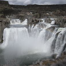
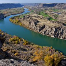
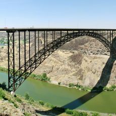
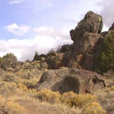
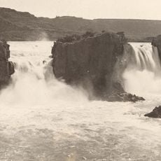
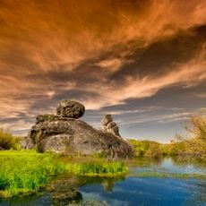
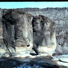
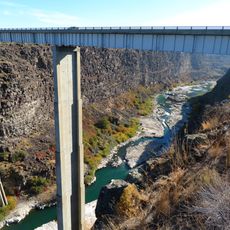
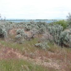
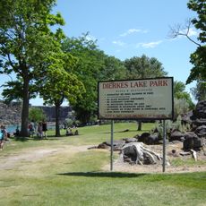
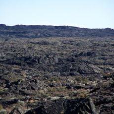
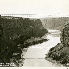
Cassia County is an administrative division in southern Idaho with broad agricultural lands and scattered communities. The Snake River flows through the region, dividing the landscape and supporting farming activities across multiple areas.

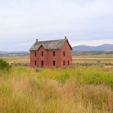
The railroad arrived in the late 1800s and transformed how communities could grow and trade goods. This connection opened the region to new settlement and economic development tied to agriculture and commerce.

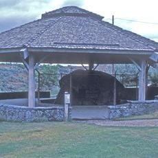
Agriculture shapes daily life throughout the county, with dairy farms and crop fields visible across the landscape. Local markets and farm operations remain central to how the community functions.

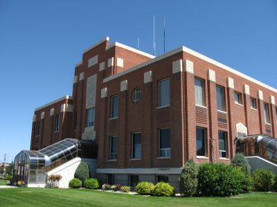
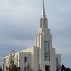
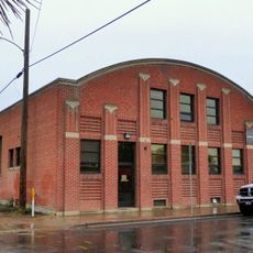
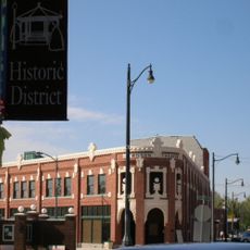
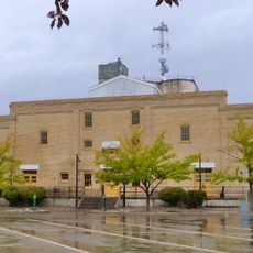
The county seat of Burley serves as the main hub for government services and visitor information. Visitors exploring the area will find this town a good starting point for accessing services and learning about the region.

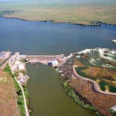
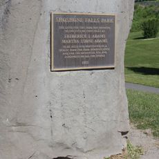
In the 1980s, a reservoir dam faced a crisis when local residents and engineers worked together to create an emergency diversion channel. This quick action prevented flooding and showed how the community could respond to sudden danger.

Location: Idaho

Inception: February 20, 1879

Capital city: Burley

Shares border with: Minidoka County, Box Elder County, Jerome County, Elko County, Twin Falls County, Blaine County, Power County, Oneida County

Website: http://cassiacounty.org

GPS coordinates: 42.27000,-113.61000

Latest update: December 7, 2025 20:48

Photos
Around this place
Shoshone Falls
United States of America

Shoshone Falls

74.5 km
Snake River Canyon
United States of America

Snake River Canyon

75.5 km
Perrine Bridge
United States of America

Perrine Bridge

78.5 km
Massacre Rocks State Park
United States of America

Massacre Rocks State Park

75.3 km
City of Rocks National Reserve
United States of America

City of Rocks National Reserve

22.9 km
Twin Falls
United States of America

Twin Falls

70.9 km
Wilson Butte Cave
United States of America

Wilson Butte Cave

75.8 km
Register Rock
United States of America

Register Rock

64.8 km
Castle Rocks State Park
United States of America

Castle Rocks State Park

15.8 km
Twin Falls Idaho Temple
United States of America

Twin Falls Idaho Temple

76.9 km
Lake Walcott State Park
United States of America

Lake Walcott State Park

46.3 km
Lake Walcott
United States of America

Lake Walcott

49.1 km
Pillar Falls
United States of America

Pillar Falls

76.8 km
Hansen Bridge
United States of America

Hansen Bridge

65.6 km
Minidoka National Wildlife Refuge
United States of America

Minidoka National Wildlife Refuge

48.1 km
A. N. Tanner House
United States of America

A. N. Tanner House

67.3 km
Empire School
United States of America

Empire School

34.3 km
Cassia County Courthouse
United States of America

Cassia County Courthouse

33 km
Albion Methodist Church
United States of America

Albion Methodist Church

16.2 km
Rupert Town Square Historic District
United States of America

Rupert Town Square Historic District

39.4 km
Burton Morse House
United States of America

Burton Morse House

77.2 km
Dierkes Lake Park
United States of America

Dierkes Lake Park

73.5 km
Twin Falls City Park Historic District
United States of America

Twin Falls City Park Historic District

77.3 km
Wilson Theatre
United States of America

Wilson Theatre

39.1 km
Shoshone Falls Park
United States of America

Shoshone Falls Park

74.6 km
Wapi Lava Field
United States of America

Wapi Lava Field

75.1 km
Twin Falls Milling and Elevator Company Warehouse
United States of America

Twin Falls Milling and Elevator Company Warehouse

77.6 km
Hansen Bridge
United States of America

Hansen Bridge

65.6 km
Show the full map
Reviews

Visited this place? Tap the stars to rate it and share your experience / photos with the community! Try now! You can cancel it anytime.

Administrative divisions
« Cassia County - County seat in southern Idaho, United States » is provided by Around Us (aroundus.com). Images and texts are derived from Wikimedia project under a Creative Commons license. You are allowed to copy, distribute, and modify copies of this page, under the conditions set by the license, as long as this note is clearly visible.

Discover hidden gems everywhere you go!

From secret cafés to breathtaking viewpoints, skip the crowded tourist spots and find places that match your style. Our app makes it easy with voice search, smart filtering, route optimization, and insider tips from travelers worldwide. Download now for the complete mobile experience.

Around Us App Screenshot

A unique approach to discovering new places

Le Figaro

All the places worth exploring

France Info

A tailor-made excursion in just a few clicks

20 Minutes