Chest opened
+${chestReward.xp} XP
Explorer
NOUVEAU ×${chestReward.collectible.quantity}
tapez pour fermer

See the monuments around you in AR Open chests in the app

Around Us is built for your phone — point your camera at the streets and discover the monuments and places around you in augmented reality. Around Us is built for your phone — chests unlock when you walk, explore and capture nearby places.

Enable Location

We need your location to show you interesting places around you

Discover nearby places

Find interesting locations and hidden gems around you

Precise directions

Get accurate directions and distances to places

Your location is never shared with other users. It's only used when you tap the location button.

Cedar Mountain Wilderness

Log in to your account

Start exploring — it's free

Trusted by 86,125 travelers worldwide

Continue with Google
Continue with Apple
or

We will send you a code to connect

By continuing, you accept our Terms and Conditions and our Privacy Policy

Check your inbox

We've sent a pincode in your inbox. Please enter the code below.

Cedar Mountain Wilderness
Discussion Reviews 1 Photos
3.5k Popularity

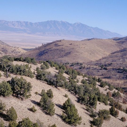
Cedar Mountain Wilderness, Wilderness area in northwestern Utah, United States.

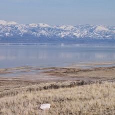
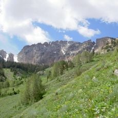
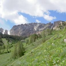
Cedar Mountain Wilderness is a protected natural area in Utah that spans from 4,200 to 7,700 feet in elevation, combining exposed limestone, sagebrush flats, and juniper-covered slopes. The terrain opens up across broad ridges and valleys with few maintained paths, giving the landscape a raw and uncontrolled feel.

The wilderness received federal protection in 2006 when it was added to the National Wilderness Preservation System. This designation safeguarded the landscape from commercial development and formalized its status as undeveloped public land.

Herding traditions and grazing practices have shaped how people use this landscape over generations. Local names and stories still reflect early settler misidentifications of the native juniper trees, creating a lasting link to regional identity.

Bring your own water since reliable sources are scarce throughout the area. Navigation across open terrain requires a map and basic orienteering skills, as there are no marked trails or established routes.

A herd of feral horses has roamed this region since the late 1800s, descendants of animals left behind by settlers generations ago. These horses rely on man-made water troughs that are still maintained by land managers today.

The community of curious travelers

AroundUs brings together thousands of curated places, local tips, and hidden gems, enriched daily by 60,000 contributors worldwide.
Start exploring
Location
GPS coordinates
40.59080,-112.95000
Latest update
September 12, 2026 02:49
Around this place
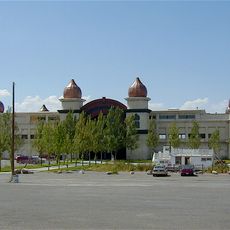
Saltair
United States of America

Saltair

41.4 mi
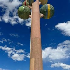
Metaphor: The Tree of Utah
United States of America

Metaphor: The Tree of Utah

33.1 mi
United States of America

Japanese Village

30.5 mi
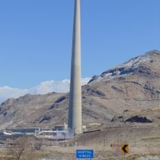
Kennecott Smokestack
United States of America

Kennecott Smokestack

40.5 mi
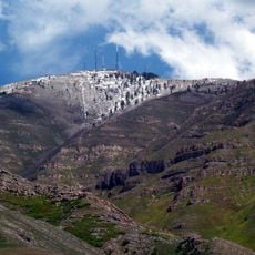
Farnsworth Peak
United States of America

Farnsworth Peak

39.6 mi
Great Salt Lake State Park
United States of America

Great Salt Lake State Park

40.1 mi
Deseret Peak
United States of America

Deseret Peak

19.3 mi
United States of America

Black Rock

39 mi
Bingham Canyon Reclamation Project
United States of America

Bingham Canyon Reclamation Project

42.2 mi
Deseret Peak Wilderness
United States of America

Deseret Peak Wilderness

14.3 mi
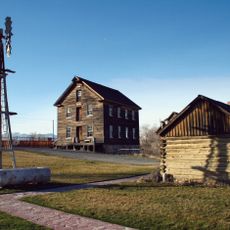
Benson Grist Mill
United States of America

Benson Grist Mill

34.5 mi
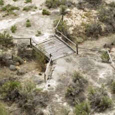
Lincoln Highway Bridge
United States of America

Lincoln Highway Bridge

28.3 mi
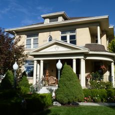
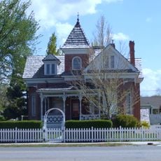
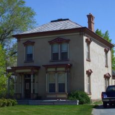
Thomas N. Taylor House
United States of America

Thomas N. Taylor House

25.4 mi
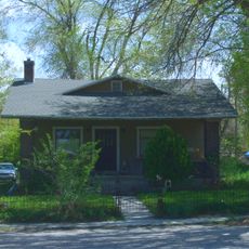
Hilda Erickson House
United States of America

Hilda Erickson House

25.2 mi
Tooele County Courthouse and City Hall
United States of America

Tooele County Courthouse and City Hall

34.6 mi
Alex and Mary Alice Johnson House
United States of America

Alex and Mary Alice Johnson House

25.6 mi
James and Penninah Wrathall House
United States of America

James and Penninah Wrathall House

25.3 mi
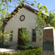
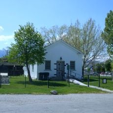
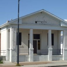
Grantsville First Ward Meetinghouse
United States of America

Grantsville First Ward Meetinghouse

25.1 mi
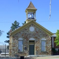
Grantsville School and Meetinghouse
United States of America

Grantsville School and Meetinghouse

25.1 mi
John T. Rich House
United States of America

John T. Rich House

25.1 mi
Tooele Carnegie Library
United States of America

Tooele Carnegie Library

34.6 mi
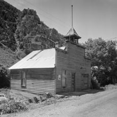
Ophir Town Hall
United States of America

Ophir Town Hall

39.7 mi
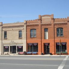
Johnson Hall-Deseret Mercantile Building
United States of America

Johnson Hall-Deseret Mercantile Building

25.5 mi
David E. Davis House
United States of America

David E. Davis House

32.2 mi
Reddick Hotel-Ophir LDS Meetinghouse
United States of America

Reddick Hotel-Ophir LDS Meetinghouse

39.6 mi
Peter Clegg House
United States of America

Peter Clegg House

34.6 mi
Stockton School
United States of America

Stockton School

32.5 mi
Black Rock Beach
United States of America

Black Rock Beach

39.1 mi
Show the full map
Reviews
Share your experience

No review yet

Discussions
Start a discussion...

No discussion yet

« Cedar Mountain Wilderness - Wilderness area in northwestern Utah, United States » is provided by Around Us (aroundus.com). Images and texts are derived from Wikimedia project under a Creative Commons license. You are allowed to copy, distribute, and modify copies of this page, under the conditions set by the license, as long as this note is clearly visible.

Discover hidden gems everywhere you go!

From secret cafés to breathtaking viewpoints, skip the crowded tourist spots and find places that match your style. Our app makes it easy with voice search, smart filtering, route optimization, and insider tips from travelers worldwide. Download now for the complete mobile experience.
Around Us App Screenshot

A unique approach to discovering new places

Le Figaro

All the places worth exploring

France Info

A tailor-made excursion in just a few clicks

20 Minutes

Around Us
Travel Guide & Maps
Download

Send to your phone

QR Code
1

Open the camera app on your mobile.

2

Point at the QR code with your camera. A notification will appear.

3

Tap the notification to open the link.