Enable Location

We need your location to show you interesting places around you

Discover nearby places

Find interesting locations and hidden gems around you

Precise directions

Get accurate directions and distances to places

Your location is never shared with other users. It's only used when you tap the location button.

Salt Lake County

Log in to your account

Start exploring — it's free

Trusted by travelers worldwide

Continue with Google
Continue with Apple
or

We will send you a code to connect

By continuing, you accept our Terms and Conditions and our Privacy Policy

Check your inbox

We've sent a pincode in your inbox. Please enter the code below.

Salt Lake County, Administrative county in Utah, United States

Description

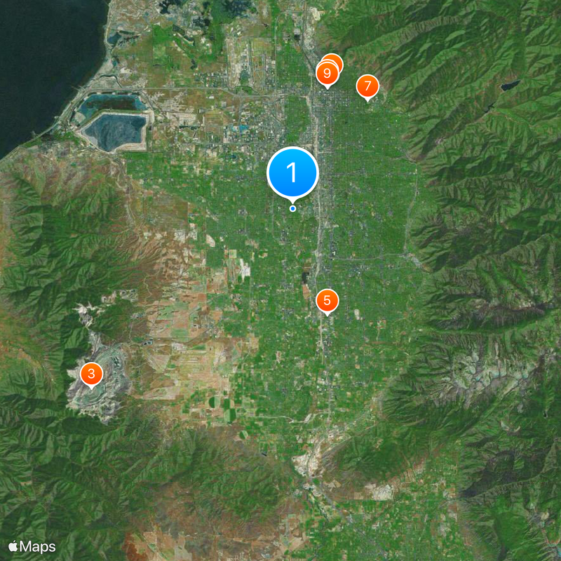
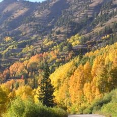
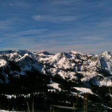
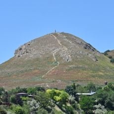
Salt Lake County is a county in the state of Utah that covers the Salt Lake Valley and lies between the Oquirrh Mountains to the west and the Wasatch Range to the east. The area includes both urban zones with dense development and suburbs and natural landscapes that extend to the mountain slopes.

History

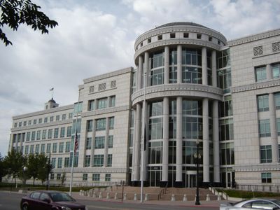
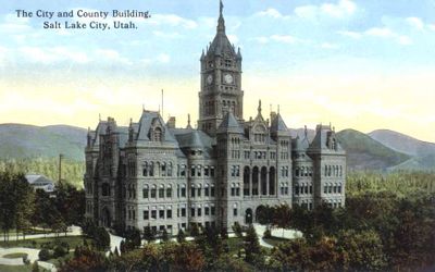
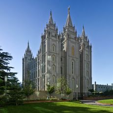
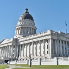
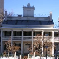
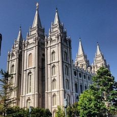
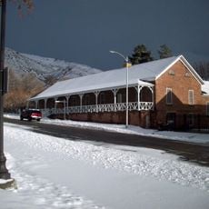
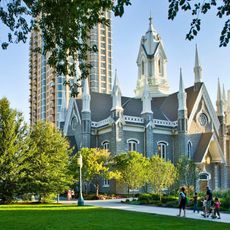
The county was created in 1850, shortly after Mormon pioneers settled in the area and began building communities. Over the decades, the region grew into the most populated part of Utah, with Salt Lake City designated as the state capital.

Culture

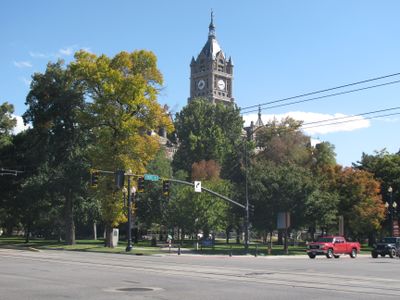
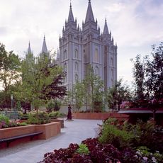
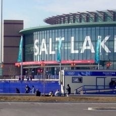
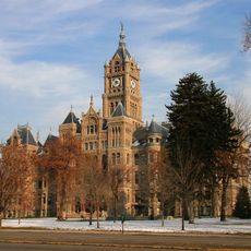
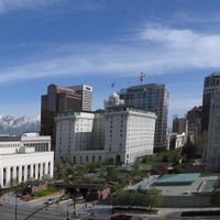
The name comes from the nearby salt lake, whose shores partly lie within the county and shape local identity. Many residents spend their free time hiking or skiing in the surrounding mountains, while downtown Salt Lake City serves as the economic and social center.

Practical

Salt Lake City International Airport connects the area to destinations worldwide and lies in the western part of the county, reachable via several highways. Public transport services such as FrontRunner and TRAX run through different neighborhoods and make it easier to move around the region.

Did you know?

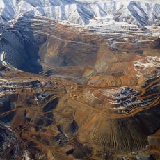
A section of the Great Salt Lake lies in the northwestern part of the county and forms one of the few places where administrative boundaries run directly through a large inland body of water. Ground level in the area ranges from flat shore zones to about 1300 meters (4300 feet) in the adjacent mountains.

Location
Inception
1852
Capital city
Salt Lake City
Elevation above the sea
1,302 m
Shares border with
Tooele County, Utah County, Wasatch County, Summit County, Morgan County, Davis County
GPS coordinates
40.67000,-111.93000
Latest update
December 13, 2025 17:06

AroundUs brings together thousands of curated places, local tips, and hidden gems, enriched daily by 60,000 contributors worldwide. Discover all places nearby (Utah).

Around this place
Salt Lake Temple
United States of America

Salt Lake Temple

11.6 km
Bingham Canyon Mine
United States of America

Bingham Canyon Mine

24.8 km
Temple Square
United States of America

Temple Square

11.6 km
America First Field
United States of America

America First Field

10.2 km
Utah State Capitol
United States of America

Utah State Capitol

12.4 km
Rice–Eccles Stadium
United States of America

Rice–Eccles Stadium

12.1 km
LDS Conference Center
United States of America

LDS Conference Center

11.8 km
Salt Lake Tabernacle organ
United States of America

Salt Lake Tabernacle organ

11.6 km
Maverik Center
United States of America

Maverik Center

4 km
Little Cottonwood Canyon
United States of America

Little Cottonwood Canyon

21.8 km
Beehive House
United States of America

Beehive House

11.6 km
Temple Square
United States of America

Temple Square

11.7 km
The Living Planet Aquarium
United States of America

The Living Planet Aquarium

15.6 km
Big Cottonwood Canyon
United States of America

Big Cottonwood Canyon

20.6 km
Fort Douglas
United States of America

Fort Douglas

13.4 km
Hogle Zoo
United States of America

Hogle Zoo

13.1 km
Salt Lake City Public Library
United States of America

Salt Lake City Public Library

10.7 km
Salt Lake City and County Building
United States of America

Salt Lake City and County Building

10.6 km
This Is the Place Heritage Park
United States of America

This Is the Place Heritage Park

13.3 km
Oquirrh Mountain Utah Temple
United States of America

Oquirrh Mountain Utah Temple

14.1 km
Mount Olympus
United States of America

Mount Olympus

13.5 km
Kennecott Smokestack
United States of America

Kennecott Smokestack

23.3 km
Thanksgiving Point
United States of America

Thanksgiving Point

26.7 km
Lion House
United States of America

Lion House

11.6 km
Joseph Smith Memorial Building
United States of America

Joseph Smith Memorial Building

11.6 km
Natural History Museum of Utah
United States of America

Natural History Museum of Utah

12.4 km
Ensign Peak
United States of America

Ensign Peak

14.2 km
Assembly Hall
United States of America

Assembly Hall

11.5 km
Show the full map
Administrative divisions
« Salt Lake County - Administrative county in Utah, United States » is provided by Around Us (aroundus.com). Images and texts are derived from Wikimedia project under a Creative Commons license. You are allowed to copy, distribute, and modify copies of this page, under the conditions set by the license, as long as this note is clearly visible.

Discover hidden gems everywhere you go!

From secret cafés to breathtaking viewpoints, skip the crowded tourist spots and find places that match your style. Our app makes it easy with voice search, smart filtering, route optimization, and insider tips from travelers worldwide. Download now for the complete mobile experience.

Around Us App Screenshot

A unique approach to discovering new places

Le Figaro

All the places worth exploring

France Info

A tailor-made excursion in just a few clicks

20 Minutes

Around Us
Travel Guide & Maps
Download

Send to your phone

QR Code
1

Open the camera app on your mobile.

2

Point at the QR code with your camera. A notification will appear.

3

Tap the notification to open the link.