Enable Location

We need your location to show you interesting places around you

Discover nearby places

Find interesting locations and hidden gems around you

Precise directions

Get accurate directions and distances to places

Your location is never shared with other users. It's only used when you tap the location button.

Juab County

Log in to your account

Start exploring — it's free

Trusted by 61,613 travelers worldwide

Continue with Google
Continue with Apple
or

We will send you a code to connect

By continuing, you accept our Terms and Conditions and our Privacy Policy

Check your inbox

We've sent a pincode in your inbox. Please enter the code below.

Juab County, County administrative division in central Utah, United States.

Description

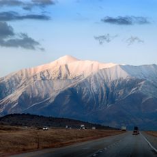
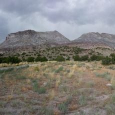
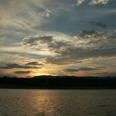
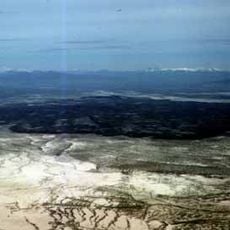
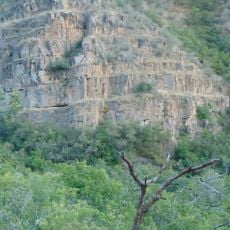
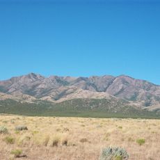
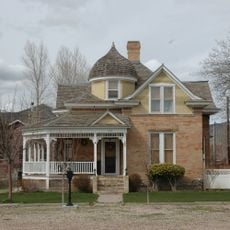
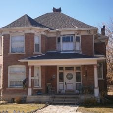
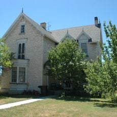
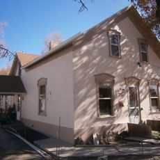
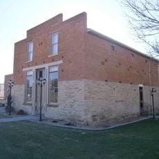
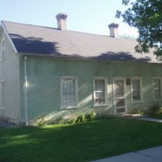
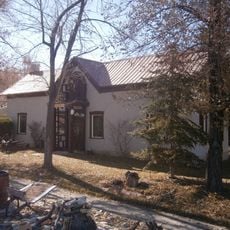
Juab County is an administrative division in central Utah that encompasses varied landscapes including the Tintic Valley and Pahvant Mountain Range. The region contains several municipalities spread across its terrain and sits in the transition zone between the Wasatch Range and the Great Basin.

History

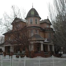
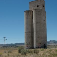
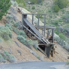
The county was established in 1852 and grew substantially after silver, gold, and copper deposits were discovered in the Tintic region during the 19th century. Mining operations shaped the area's economy and settlement patterns for decades.

Culture

The Tintic Mining District Festival honors the area's mining heritage, while the Juab County Fair brings residents together for livestock shows and community celebrations.

Practical

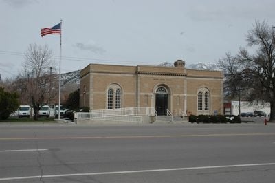
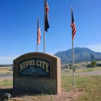
County government services are based in Nephi and serve residents throughout the area. Plan ahead when visiting, as services and amenities are spread across multiple towns rather than concentrated in one central location.

Did you know?

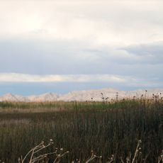
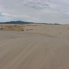
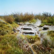
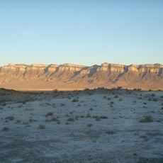
Fish Springs National Wildlife Refuge within the county provides critical habitat for migratory birds and native species in the Great Basin. This protected area serves as a vital stopover for traveling birds and supports rare species adapted to the arid landscape.

Location
Inception
1852
Capital city
Nephi
Shares border with
Tooele County, Utah County, Millard County, Sanpete County, White Pine County
GPS coordinates
39.71000,-112.80000
Latest update
December 7, 2025 19:23

AroundUs brings together thousands of curated places, local tips, and hidden gems, enriched daily by 60,000 contributors worldwide. Discover all places nearby (Utah).

Around this place
Mount Nebo
United States of America

Mount Nebo

89.8 km
Topaz Mountain
United States of America

Topaz Mountain

26 km
Fish Springs National Wildlife Refuge
United States of America

Fish Springs National Wildlife Refuge

51.1 km
Yuba State Park
United States of America

Yuba State Park

75.9 km
Little Sahara Recreation Area
United States of America

Little Sahara Recreation Area

42.3 km
Baker Hot Springs
United States of America

Baker Hot Springs

12.4 km
Fumarole Butte
United States of America

Fumarole Butte

11.2 km
George Carter Whitmore Mansion
United States of America

George Carter Whitmore Mansion

82.6 km
Maple Canyon
United States of America

Maple Canyon

99.5 km
Harker Canyon (Tooele County, Utah)
United States of America

Harker Canyon (Tooele County, Utah)

42 km
Swasey Mountain
United States of America

Swasey Mountain

57 km
Edwin Robert Booth House
United States of America

Edwin Robert Booth House

82.5 km
Santaquin Junior High School
United States of America

Santaquin Junior High School

92.5 km
Canute Peterson House
United States of America

Canute Peterson House

111.1 km
David Morgan House
United States of America

David Morgan House

81.4 km
Eureka LDS Church Meetinghouse
United States of America

Eureka LDS Church Meetinghouse

64.4 km
Oscar M. Booth House
United States of America

Oscar M. Booth House

82.3 km
David and Evinda Madsen House
United States of America

David and Evinda Madsen House

110.9 km
Knight Grain Elevator
United States of America

Knight Grain Elevator

57.9 km
Greaves-Deakin House
United States of America

Greaves-Deakin House

111.3 km
Eureka Lilly Headframe
United States of America

Eureka Lilly Headframe

68.1 km
Hans A. Hansen House
United States of America

Hans A. Hansen House

111.1 km
Ephraim Carnegie Library
United States of America

Ephraim Carnegie Library

110.9 km
John Dorius Jr. House
United States of America

John Dorius Jr. House

111.1 km
Oluf Larsen House
United States of America

Oluf Larsen House

111.1 km
Moroni Opera House
United States of America

Moroni Opera House

105.8 km
Fredrick Christian Sorensen House
United States of America

Fredrick Christian Sorensen House

111.4 km
Claus P. Andersen House
United States of America

Claus P. Andersen House

110.9 km
Show the full map
Administrative divisions
« Juab County - County administrative division in central Utah, United States » is provided by Around Us (aroundus.com). Images and texts are derived from Wikimedia project under a Creative Commons license. You are allowed to copy, distribute, and modify copies of this page, under the conditions set by the license, as long as this note is clearly visible.

Discover hidden gems everywhere you go!

From secret cafés to breathtaking viewpoints, skip the crowded tourist spots and find places that match your style. Our app makes it easy with voice search, smart filtering, route optimization, and insider tips from travelers worldwide. Download now for the complete mobile experience.

Around Us App Screenshot

A unique approach to discovering new places

Le Figaro

All the places worth exploring

France Info

A tailor-made excursion in just a few clicks

20 Minutes

Around Us
Travel Guide & Maps
Download

Send to your phone

QR Code
1

Open the camera app on your mobile.

2

Point at the QR code with your camera. A notification will appear.

3

Tap the notification to open the link.