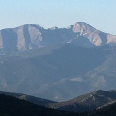
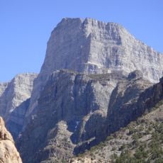
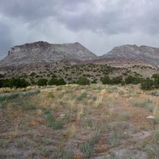
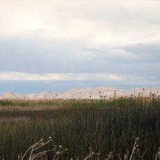
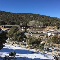
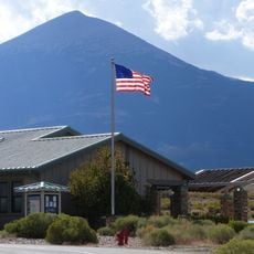
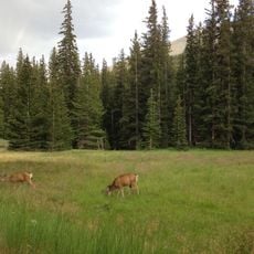
Swasey Mountain, Mountain summit in Millard County, Utah, United States
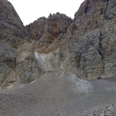
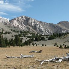
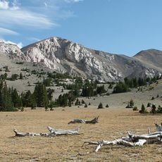
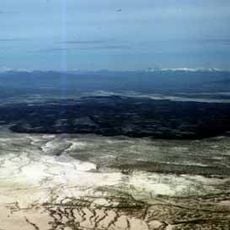
Swasey Mountain is a ridge-backed summit in the Great Basin that stretches roughly 22 kilometers in an L-shaped form with its highest point reaching 2948 meters. The range shows exposed rock faces and includes multiple passes and canyons throughout its structure.
Swasey Mountain is named for rancher Charles Swasey, who worked in the region. The name appears on maps of the House Range in northwest Millard County, with the mountain's north end reaching into Juab County. The L-shaped ridge and its 9,673-foot Swasey Peak are the features the name identifies.
Swasey Mountain is named for rancher Charles Swasey. The adjoining section of the House Range to the south is Middle Ridge, a shorter north-trending ridgeline with mountain passes at both ends: Antelope Springs Road through Dome Canyon and Dome Canyon Pass to the north, and Old Highway 6 & 50 Road through Marjum Canyon and Marjum Pass to the south.
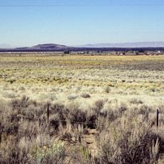
The Swasey Mountain section runs about 14 miles north to south, with its highpoint at the southwest corner of the L-shaped massif. Antelope Springs Road crosses Dome Canyon and Dome Canyon Pass at the north end of the adjoining Middle Ridge; Old Highway 6 & 50 Road runs through Marjum Canyon and Marjum Pass to the south. Tule Valley lies along the west flank and the Sevier Desert to the east.
Swasey Peak, the 2,948-metre summit at the southwest corner of the L-shaped massif, is the highest point of the Swasey Mountain section, not of Millard County. The northern highpoint on the same ridge line is Tatow Knob, 2,565 metres, near the centre of the ridge.
The community of curious travelers
AroundUs brings together thousands of curated places, local tips, and hidden gems, enriched daily by 94,156 contributors worldwide.