Chest opened
+${chestReward.xp} XP
Explorer
NOUVEAU ×${chestReward.collectible.quantity}
tapez pour fermer

See the monuments around you in AR Open chests in the app

Around Us is built for your phone — point your camera at the streets and discover the monuments and places around you in augmented reality. Around Us is built for your phone — chests unlock when you walk, explore and capture nearby places.

Enable Location

We need your location to show you interesting places around you

Discover nearby places

Find interesting locations and hidden gems around you

Precise directions

Get accurate directions and distances to places

Your location is never shared with other users. It's only used when you tap the location button.

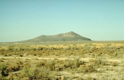
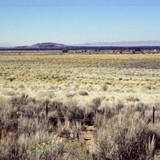
Pahvant Butte

Log in to your account

Start exploring — it's free

Trusted by 86,111 travelers worldwide

Continue with Google
Continue with Apple
or

We will send you a code to connect

By continuing, you accept our Terms and Conditions and our Privacy Policy

Check your inbox

We've sent a pincode in your inbox. Please enter the code below.

Pahvant Butte
Discussion Reviews 1 Photos
2.2k Popularity

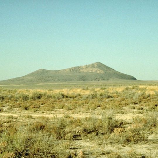
Pahvant Butte, Dormant volcano in Millard County, United States

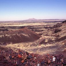
Pahvant Butte is a dormant volcano with two peaks of varying heights rising sharply from the Sevier Desert valley. The formation creates a striking dark outline against the surrounding flat landscape and desert terrain.

This volcanic formation was created around 15,500 years ago by an explosive eruption beneath ancient Lake Bonneville. The violent underwater event dispersed volcanic ash across the surrounding region and left this distinctive geological landmark.

The Clear Lake Bird Refuge near Pahvant Butte maintains spring-fed ponds that support diverse bird species within this volcanic landscape.

Access is via Route 257 from Highway 6/50, followed by a drive on a maintained dirt road to reach the site. Bring a vehicle with good ground clearance since road conditions can be rough and dusty.

The site features the Lace Curtain, a rock face displaying delicate white patterns formed by mineral deposits in volcanic tuff. These intricate structures developed over thousands of years as groundwater slowly filtered through and crystallized minerals.

The community of curious travelers

AroundUs brings together thousands of curated places, local tips, and hidden gems, enriched daily by 60,000 contributors worldwide.
Start exploring
Location
Elevation above the sea
1,750 m
GPS coordinates
39.13170,-112.55200
Latest update
September 12, 2026 02:49
Around this place
Yuba State Park
United States of America

Yuba State Park

32.9 mi
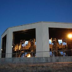
Telescope Array Project
United States of America

Telescope Array Project

22.3 mi
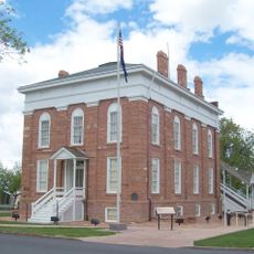
Utah Territorial Statehouse
United States of America

Utah Territorial Statehouse

16.6 mi
Black Rock Desert volcanic field
United States of America

Black Rock Desert volcanic field

11.8 mi
Baker Hot Springs
United States of America

Baker Hot Springs

34.6 mi
Fumarole Butte
United States of America

Fumarole Butte

35.4 mi
Fort Deseret
United States of America

Fort Deseret

10.7 mi
The Cinders
United States of America

The Cinders

11.9 mi
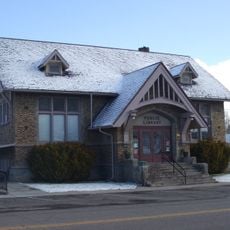
Richfield Carnegie Library
United States of America

Richfield Carnegie Library

35.6 mi
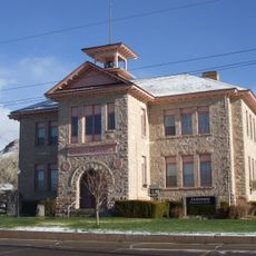
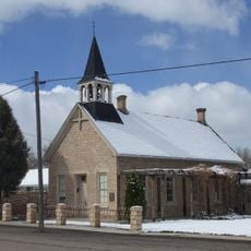
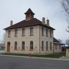
Centerfield School and Meetinghouse
United States of America

Centerfield School and Meetinghouse

39.3 mi
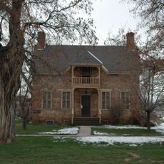
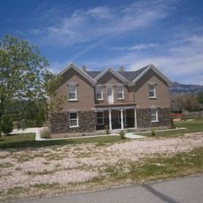
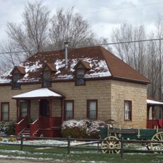
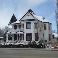
Edward and Elizabeth Partridge House
United States of America

Edward and Elizabeth Partridge House

16.5 mi
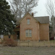
Thuesen-Petersen House
United States of America

Thuesen-Petersen House

25.2 mi
Scipio Town Hall
United States of America

Scipio Town Hall

25.3 mi
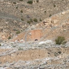
Jens Larson Jenson Lime Kiln
United States of America

Jens Larson Jenson Lime Kiln

34.3 mi
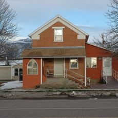
Martin Johnson House
United States of America

Martin Johnson House

39.8 mi
Elsinore White Rock Schoolhouse
United States of America

Elsinore White Rock Schoolhouse

37.7 mi
Oberg-Metcalf House
United States of America

Oberg-Metcalf House

39.4 mi
Salina Presbyterian Church
United States of America

Salina Presbyterian Church

39.3 mi
Peter Quarnberg House
United States of America

Peter Quarnberg House

25.1 mi
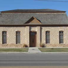
Kanosh Tithing Office
United States of America

Kanosh Tithing Office

23.6 mi
Redmond Town Hall
United States of America

Redmond Town Hall

38 mi
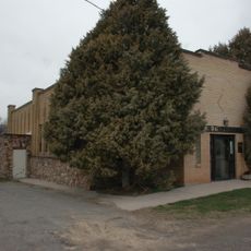
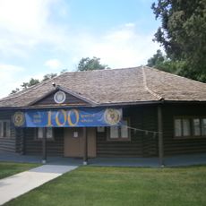
Fillmore American Legion Hall
United States of America

Fillmore American Legion Hall

16.7 mi
Peterson–Burr House
United States of America

Peterson–Burr House

39 mi
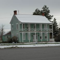
Peter and Jessie Huntsman House
United States of America

Peter and Jessie Huntsman House

16.5 mi
Territorial Statehouse State Park Museum
United States of America

Territorial Statehouse State Park Museum

16.7 mi
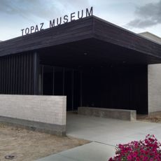
Topaz Museum
United States of America

Topaz Museum

15.3 mi
Millard County Courthouse
United States of America

Millard County Courthouse

16.7 mi
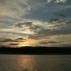
Sevier Bridge Reservoir
United States of America

Sevier Bridge Reservoir

35.8 mi
Show the full map
Reviews
Share your experience

No review yet

Discussions
Start a discussion...

No discussion yet

« Pahvant Butte - Dormant volcano in Millard County, United States » is provided by Around Us (aroundus.com). Images and texts are derived from Wikimedia project under a Creative Commons license. You are allowed to copy, distribute, and modify copies of this page, under the conditions set by the license, as long as this note is clearly visible.

Discover hidden gems everywhere you go!

From secret cafés to breathtaking viewpoints, skip the crowded tourist spots and find places that match your style. Our app makes it easy with voice search, smart filtering, route optimization, and insider tips from travelers worldwide. Download now for the complete mobile experience.
Around Us App Screenshot

A unique approach to discovering new places

Le Figaro

All the places worth exploring

France Info

A tailor-made excursion in just a few clicks

20 Minutes

Around Us
Travel Guide & Maps
Download

Send to your phone

QR Code
1

Open the camera app on your mobile.

2

Point at the QR code with your camera. A notification will appear.

3

Tap the notification to open the link.