Fumarole Butte, Shield volcano in Juab County, Utah, United States.
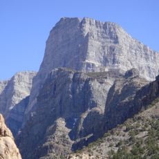
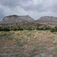
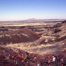
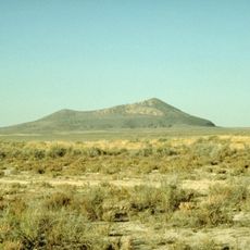
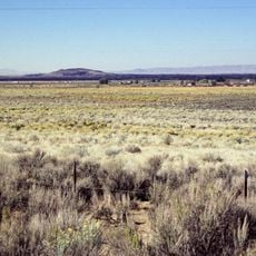
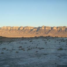
Fumarole Butte is a shield volcano in Juab County, Utah, built of basaltic andesite and rising 207 meters above the surrounding lava field. A volcanic neck protrudes from its center, and its flanks show red and gray material ranging from dark basalt to reddish scoria. Lacustrine deposits mark where Lake Bonneville once covered its edges.
The volcano formed approximately one million years ago during a period of normal magnetic alignment. This ancient eruption created the basaltic structures that shape the landscape today.
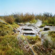
The butte's name comes from fumaroles, the gas vents that give such volcanoes their name, though the visible steam today rises from Baker Hot Springs to the east. Layers of lake sediment on the volcano's flanks mark where Lake Bonneville once covered it, and the red scoria and dark basalt of the cone are easy to see on the surface.
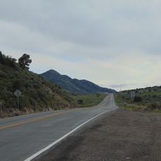
The butte lies about 30 miles from Delta; take Highway 6 east for roughly 20 miles, then a dirt road for about 10 miles to the base. The ground is uneven and rocky, so wear sturdy footwear. There is no shade and no water source, so carry plenty of water and sun protection.
The hot springs east of the butte, known as Baker Hot Springs, are thought to be heated by the magma chamber beneath Fumarole Butte. The volcano's own name comes from fumaroles, the gas vents that mark volcanic terrain.
The community of curious travelers
AroundUs brings together thousands of curated places, local tips, and hidden gems, enriched daily by 94,594 contributors worldwide.