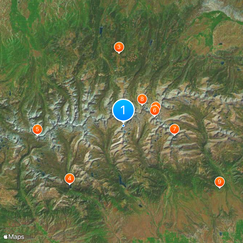
High Uintas Wilderness, Protected wilderness area in Summit and Duchesne counties, Utah
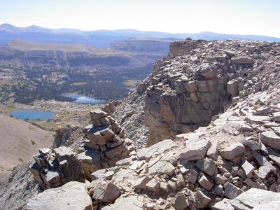
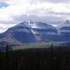
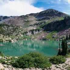
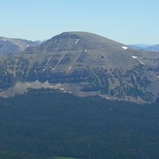
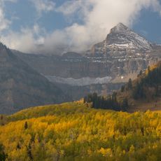
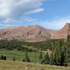
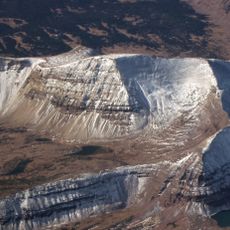
High Uintas Wilderness is a protected area in western Utah spanning Summit County and Duchesne County. The landscape includes several peaks above 12,800 feet (3,900 m), including Kings Peak as the highest point, along with hundreds of lakes, meadows and expansive conifer forests.
The area gained official wilderness status through Congress in 1984 and has since been managed by the Forest Service. The boundaries were drawn to protect a continuous ecosystem of nearly 460,000 acres.
The name Uintas comes from the Ute people, whose ancestors traveled these mountains for centuries. Their traces remain visible today at certain spots where traditional paths lead through valleys and over passes.
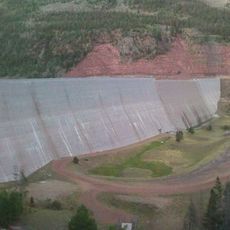
Access roads lie near Kamas, Duchesne and Roosevelt, from where various trails lead into the area. In winter most roads close, leaving only a few entry points accessible on snowshoes or skis.
The Uinta range runs east to west, making it the only major North American mountain chain oriented this way rather than north to south. Its rocks belong to some of the oldest exposed formations on the continent, dating from Precambrian times.
The community of curious travelers
AroundUs brings together thousands of curated places, local tips, and hidden gems, enriched daily by 60,000 contributors worldwide.