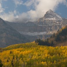
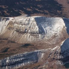
Mount Agassiz, Mountain summit in Duchesne County and Summit County, United States.
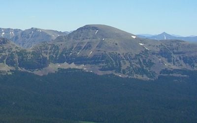
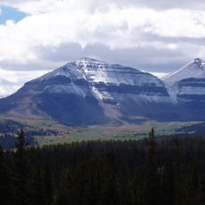
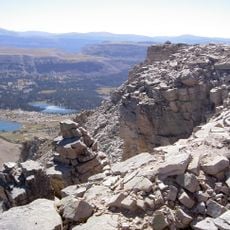
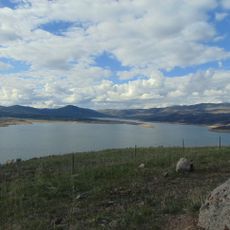
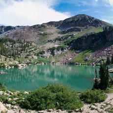
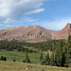
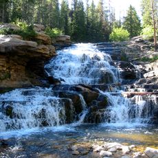
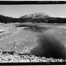
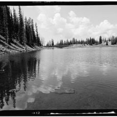
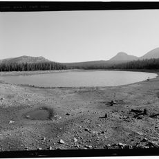
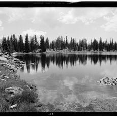
Mount Agassiz is a mountain summit in the Uinta Mountains of northeastern Utah, located within the High Uintas Wilderness and the Uinta-Wasatch-Cache National Forest. The peak rises to approximately 12,400 feet and provides hikers access to alpine terrain, subalpine forests, and expansive mountain views.
The peak was named after Louis Agassiz, a 19th-century scientist known for his work in paleontology and glaciology. The naming honors his influence on geological research and understanding of mountain landscapes in North America.
The mountain stands as a symbol of geological research and exploration in Utah, drawing scientists and researchers interested in studying rock formations and glacial patterns.
Hikers should prepare for changeable mountain weather, as temperatures fluctuate significantly depending on the season and elevation. The area receives considerable annual precipitation, so waterproof gear and proper planning are essential for any visit.
The mountain spans across two counties and features multiple hiking routes, offering different perspectives of the surrounding Uinta Mountain range throughout the seasons.
The community of curious travelers
AroundUs brings together thousands of curated places, local tips, and hidden gems, enriched daily by 60,000 contributors worldwide.