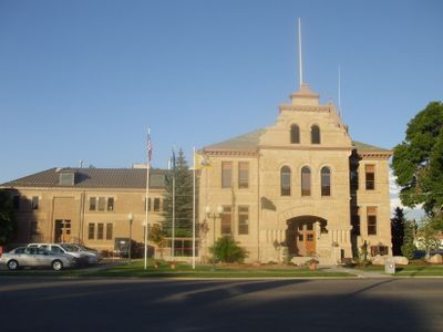
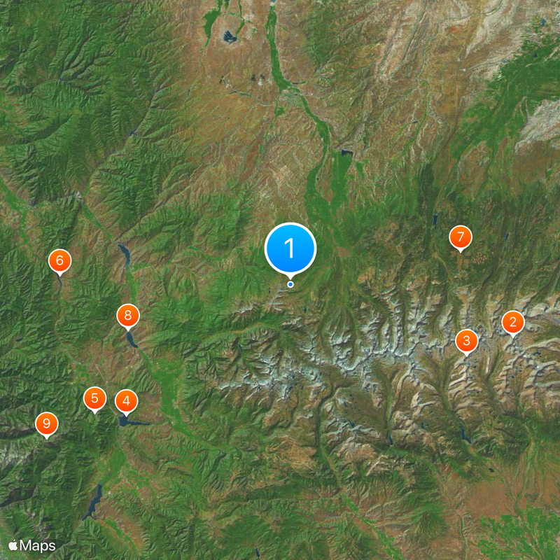
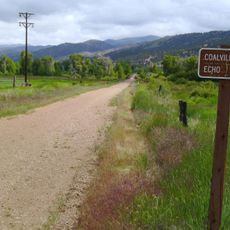
Summit County, County in northeastern Utah, United States
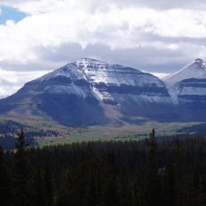
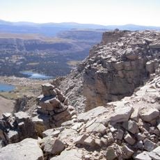
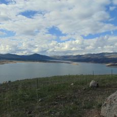
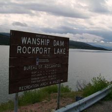
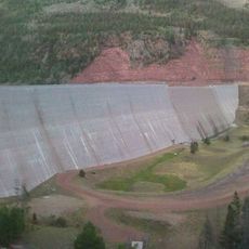
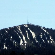
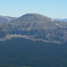
Summit County is an administrative area in northeastern Utah that stretches from the Uinta Mountains to the Wasatch Mountains, covering several small settlements along with expansive forest and rangeland. The highest parts reach over 8388 feet (2560 meters) above sea level and offer wide views across valleys, ridges and open grazing land.
The administrative unit came into existence in 1854 by decision of the Utah Territory legislature and initially included lands that later became part of Wyoming. The present boundary was finalized in 1918 after several adjustments were made.
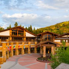
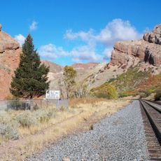
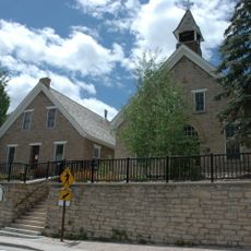
The area sits at the boundary between the Great Basin and the Rocky Mountains, and has been used for generations by people living and working in high country. The open valleys and forested slopes now draw visitors interested in winter sports, hiking and mountain living.
Interstate 80 and U.S. Route 40 cross the area and connect the small towns with surrounding regions. Travelers find services in the settlements along these highways, though distances can be considerable.
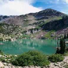
The area contains 39 of the highest mountain peaks in Utah, which gave the administrative unit its name. Many of these summits remain difficult to reach even in summer for hikers and climbers.
Location: Utah
Inception: 1854
Capital city: Coalville
Shares border with: Rich County, Morgan County, Salt Lake County, Wasatch County, Duchesne County, Daggett County, Sweetwater County, Uinta County
Website: http://co.summit.ut.us
GPS coordinates: 40.88000,-110.97000
Latest update: December 13, 2025 16:31
King's Peak
51.6 km
High Uintas Wilderness
42.9 km
Jordanelle Reservoir
47.2 km
Stein Eriksen Lodge Botanical Garden
52.6 km
East Canyon State Park
52 km
Wasatch-Cache National Forest
39.1 km
Rockport Reservoir
37.9 km
Cecret Lake
64.9 km
Thousand Mile Tree
50.8 km
Mary G. Steiner Egyptian Theatre
51.6 km
Road Island Diner
33.3 km
Upper Stillwater Reservoir
41.4 km
Historic Union Pacific Rail Trail State Park
51 km
Jeremy Ranch
51.6 km
Fort Supply
54.9 km
Summit Stake Tabernacle
36.1 kmHumpy Peak
2.8 km
Piedmont Charcoal Kilns
48 kmEcho State Park
37.9 km
Mount Agassiz
22.5 kmLost Creek State Park
48.5 km
St. Mary of the Assumption Church and School
51.6 km
Franz the Bear
51.5 km
Echo Church and School
41 km
Glenwood Cemetery
52.1 km
Joe Quinney Winter Sports Center
53.3 km
Echo School
41.7 kmSouth Kings Peak
51.5 kmVisited this place? Tap the stars to rate it and share your experience / photos with the community! Try now! You can cancel it anytime.
Discover hidden gems everywhere you go!
From secret cafés to breathtaking viewpoints, skip the crowded tourist spots and find places that match your style. Our app makes it easy with voice search, smart filtering, route optimization, and insider tips from travelers worldwide. Download now for the complete mobile experience.
A unique approach to discovering new places❞
— Le Figaro
All the places worth exploring❞
— France Info
A tailor-made excursion in just a few clicks❞
— 20 Minutes