Enable Location

We need your location to show you interesting places around you

Discover nearby places

Find interesting locations and hidden gems around you

Precise directions

Get accurate directions and distances to places

Your location is never shared with other users. It's only used when you tap the location button.

Emery County

Log in to your account

Start exploring — it's free

Trusted by 61,529 travelers worldwide

Continue with Google
Continue with Apple
or

We will send you a code to connect

By continuing, you accept our Terms and Conditions and our Privacy Policy

Check your inbox

We've sent a pincode in your inbox. Please enter the code below.

Emery County, Administrative county in east-central Utah, United States.

Description

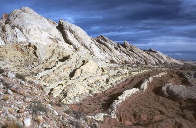
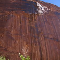
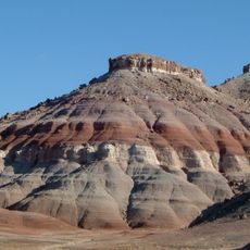
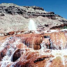
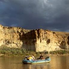
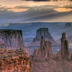
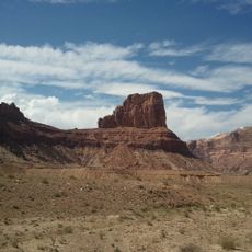
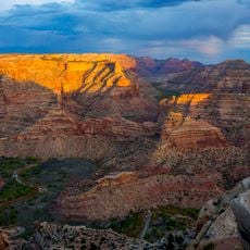
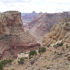
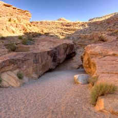
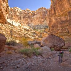
Emery County is an administrative county in east-central Utah that spans diverse landscapes shaped by mountains, desert regions, and river valleys. The Green River has carved through these terrains over time, creating the geographic character visible today throughout the region.

History

The county was established in 1875 and named after George W. Emery, who served as territorial governor of Utah at that time. This naming reflected his political influence on the region during its early settlement period.

Culture

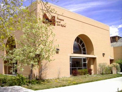
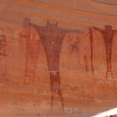
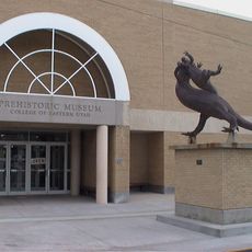
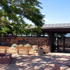
The Museum of the San Rafael displays objects from local history, including dinosaur fossils and mining artifacts that visitors can explore up close. These collections tell stories about the people who lived here and how they engaged with the landscape.

Practical

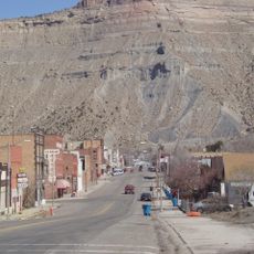
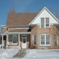
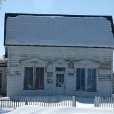
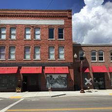
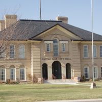
Visitors can explore the region most easily by visiting various towns and accessing the larger landmarks like nature reserves and public lands. It is helpful to focus on larger towns such as Castle Dale, where administrative services and basic amenities are available.

Did you know?

The region contains a remarkable mix of different protected land designations, including state parks, BLM lands, and forest service areas, along with a national monument. These various administrative zones share the territory, creating a complex patchwork of land management throughout the county.

Location
Inception
1875
Capital city
Castle Dale
Shares border with
Carbon County, Grand County, Wayne County, Sevier County, Sanpete County, San Juan County, Uintah County
GPS coordinates
38.99000,-110.69000
Latest update
December 7, 2025 10:08

AroundUs brings together thousands of curated places, local tips, and hidden gems, enriched daily by 60,000 contributors worldwide. Discover all places nearby (Utah).

Around this place
Goblin Valley State Park
United States of America

Goblin Valley State Park

47.2 km
Horseshoe Canyon
United States of America

Horseshoe Canyon

73.1 km
Cedar Mountain Formation
United States of America

Cedar Mountain Formation

31 km
Crystal Geyser
United States of America

Crystal Geyser

48.4 km
Desolation Canyon
United States of America

Desolation Canyon

75.4 km
Green River State Park
United States of America

Green River State Park

46.4 km
Huntington State Park
United States of America

Huntington State Park

44.8 km
Buckhorn Draw Pictograph Panel
United States of America

Buckhorn Draw Pictograph Panel

14.9 km
Canyon Lands
United States of America

Canyon Lands

81 km
USU Eastern Prehistoric Museum
United States of America

USU Eastern Prehistoric Museum

68.6 km
Electric Lake
United States of America

Electric Lake

82.3 km
Bottleneck Peak and Moon
United States of America

Bottleneck Peak and Moon

7.8 km
Emery LDS Church
United States of America

Emery LDS Church

48.7 km
San Rafael Bridge
United States of America

San Rafael Bridge

10.3 km
Helper Commercial District
United States of America

Helper Commercial District

78.6 km
Samuel Singleton House
United States of America

Samuel Singleton House

39.7 km
Ferron Presbyterian Church and Cottage
United States of America

Ferron Presbyterian Church and Cottage

40.7 km
Castle Dale School
United States of America

Castle Dale School

37.7 km
Lars Peter Larson House
United States of America

Lars Peter Larson House

42 km
Paul C. Christensen House
United States of America

Paul C. Christensen House

37.8 km
Leander Lemmon House
United States of America

Leander Lemmon House

44.3 km
Cleveland-Lloyd Dinosaur Quarry
United States of America

Cleveland-Lloyd Dinosaur Quarry

37.1 km
The Helper Museum
United States of America

The Helper Museum

78.4 km
Wedge Overlook
United States of America

Wedge Overlook

12.8 km
Little Grand Canyon
United States of America

Little Grand Canyon

12.8 km
Little Wild Horse Canyon
United States of America

Little Wild Horse Canyon

55.8 km
Bell Canyon
United States of America

Bell Canyon

45.8 km
Huntington Lake
United States of America

Huntington Lake

45.5 km
Show the full map
Administrative divisions
« Emery County - Administrative county in east-central Utah, United States » is provided by Around Us (aroundus.com). Images and texts are derived from Wikimedia project under a Creative Commons license. You are allowed to copy, distribute, and modify copies of this page, under the conditions set by the license, as long as this note is clearly visible.

Discover hidden gems everywhere you go!

From secret cafés to breathtaking viewpoints, skip the crowded tourist spots and find places that match your style. Our app makes it easy with voice search, smart filtering, route optimization, and insider tips from travelers worldwide. Download now for the complete mobile experience.

Around Us App Screenshot

A unique approach to discovering new places

Le Figaro

All the places worth exploring

France Info

A tailor-made excursion in just a few clicks

20 Minutes

Around Us
Travel Guide & Maps
Download

Send to your phone

QR Code
1

Open the camera app on your mobile.

2

Point at the QR code with your camera. A notification will appear.

3

Tap the notification to open the link.