Desolation Canyon, Canyon and National Historic Landmark in Carbon, Emery, Grand and Uintah counties, Utah, United States
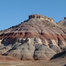
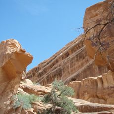
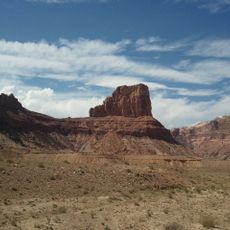
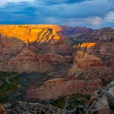
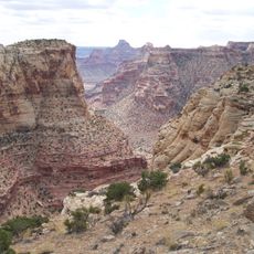
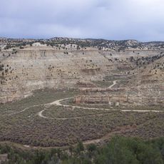
Desolation Canyon is a canyon of the Green River in eastern Utah, running south from southwestern Uintah County along the Uintah–Carbon and then Emery–Grand county lines to its mouth in the Roan Cliffs. It lies between the West and East Tavaputs Plateaus, and at its deepest the relief from river level to the plateau rim exceeds 5,000 feet (1,500 m).
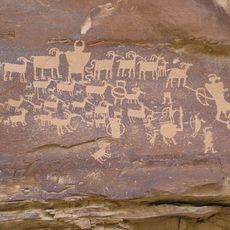
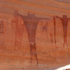
Fremont and Ute peoples left pictographs, petroglyphs and granaries in the canyon and its tributaries such as Nine Mile and Range Creek. John Wesley Powell traversed it in 1869 on a Smithsonian-sponsored expedition. In 1968 it was listed on the National Register of Historic Places and named a National Historic Landmark for the Powell expedition centennial.
Rock art covers many canyon walls, showing the marks left by people who lived here for centuries. These images reveal how ancient communities understood and used this river landscape.
Boaters run the 83-mile stretch from Sand Wash to Swasey's Rapid, with permits issued by the Price office of the Bureau of Land Management. A separate permit is needed to camp or hike on the eastern side, part of the Uintah and Ouray Indian Reservation, but since spring 2015 the Utes have not offered permits to non-tribal members. Over 60 named class II and III rapids make the run suitable for beginner to intermediate boaters.
Desolation Canyon is often described as one of the most remote areas in the contiguous United States. Its riparian alluvial fans are larger than those of any other canyon in the Colorado-Green river system, which is why Fremont granaries and homesteader ranches were built there.
The community of curious travelers
AroundUs brings together thousands of curated places, local tips, and hidden gems, enriched daily by 93,845 contributors worldwide.