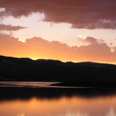
Ninemile Canyon, Archaeological site and scenic byway in Carbon County, Utah, United States.
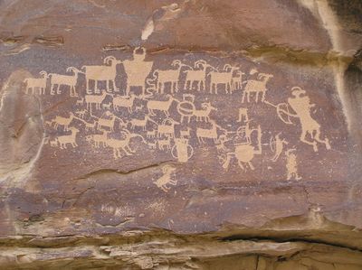
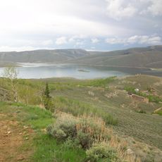
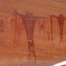
Ninemile Canyon is a roughly 40-mile-long valley in Utah renowned for one of the world's largest collections of rock art created by ancient peoples. A maintained road winds through the terrain, allowing visitors to view thousands of carved and painted images along with remnants of old dwellings and structures built into the canyon walls.
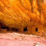
The valley was home to successive peoples over thousands of years, with the Fremont culture particularly active between 950 and 1250 AD, creating extensive rock art and building structures. Following the Fremont period, later groups including the Ute continued to inhabit and use the canyon lands.
The rock art displays varied styles reflecting how different peoples across the centuries expressed their beliefs and daily experiences through images on stone. Walking along the canyon, visitors can observe these distinct artistic traditions side by side, showing how successive groups inhabited and used this landscape.
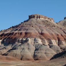
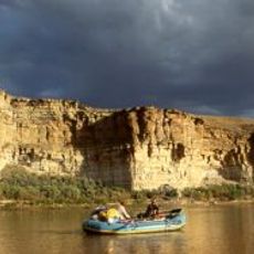
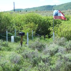
Access is via a maintained road suitable for vehicles, with pullouts and viewing areas along the route to see the rock art and structures. Bring sturdy shoes and water, as the remote location has limited services and the terrain can be uneven when walking to view the artworks up close.
The canyon presents a striking range of artistic styles in close proximity, allowing visitors to witness shifts in artistic expression between different cultures literally side by side. This concentration offers rare insights into how distinct peoples expressed their creative beliefs within the same landscape.
The community of curious travelers
AroundUs brings together thousands of curated places, local tips, and hidden gems, enriched daily by 60,000 contributors worldwide.