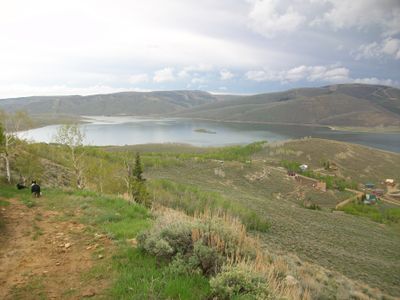
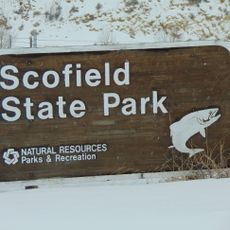
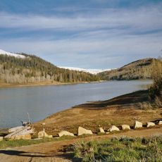
Scofield Reservoir, reservoir in the Pleasant Valley in Carbon and Utah counties in Utah, United States
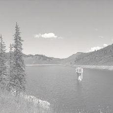
Scofield Reservoir is a man-made lake set in a mountain basin in Carbon County and Utah County, Utah, at around 7,700 feet (2,340 meters) above sea level. It sits among rocky hills and open slopes, making it one of the highest reservoirs of its size in the state.
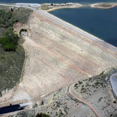
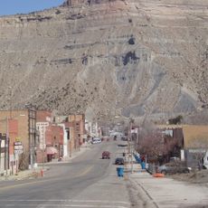
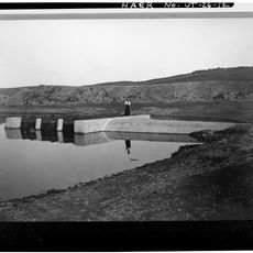
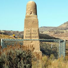
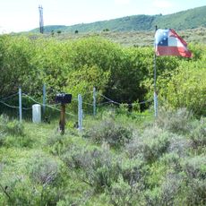
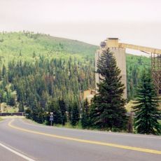
The valley was used for coal mining and logging in the late 1800s before a dam was built to store water for the surrounding region. Over time, the area grew into a go-to spot for fishing and outdoor recreation.
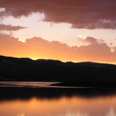
The area has a strong tradition of fishing and hunting that visitors still practice today. The local community values its natural resources and outdoor lifestyle, which shows in how people use the place for recreation and wildlife watching.
The reservoir sits within a state park that offers a boat ramp, picnic areas, restrooms, and campgrounds for tents and small RVs. It is accessible by local roads, and visiting outside the summer peak makes it easier to find space and enjoy the water at a quieter pace.
Tiger trout, a hybrid species introduced by biologists to manage fish populations, are found here and are known for growing to a size rarely seen elsewhere in Utah. Some of the largest tiger trout recorded in the state have been pulled from this water.
The community of curious travelers
AroundUs brings together thousands of curated places, local tips, and hidden gems, enriched daily by 60,000 contributors worldwide.