Carbon County, Administrative region in south central Wyoming, United States
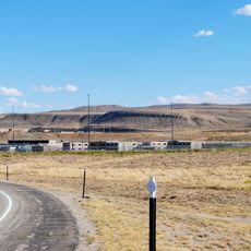
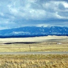
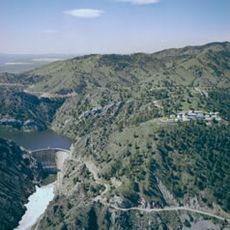
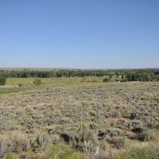
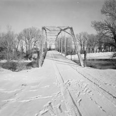
Carbon County is an administrative region in south central Wyoming with varied terrain including mountain ranges, grasslands, and river valleys. The landscape spans roughly 7,900 square miles (20,400 square kilometers) of geographically diverse country.
The region got its name in 1868 from rich coal deposits that drew miners and railroad workers to settle here. These resources drove economic growth and population expansion throughout the late 1800s.
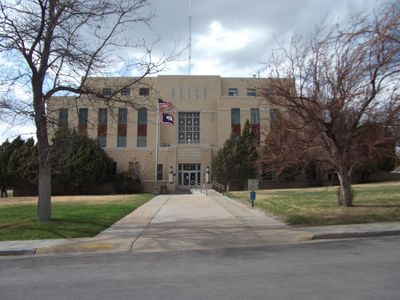
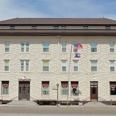
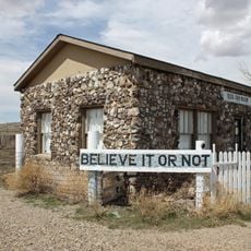
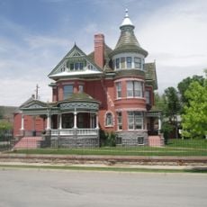
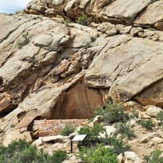
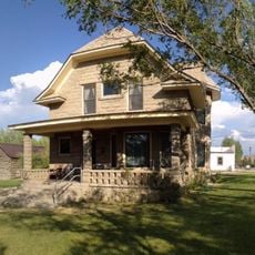
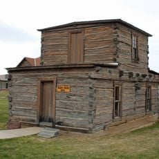
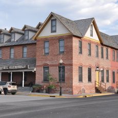
Local museums throughout the county display items from Native American communities, coal mining operations, and early railroad expansion. These collections help visitors understand how different groups shaped life in this region.
The county is large and spread across varied elevations, so weather and road conditions can differ significantly between areas. Plan travel time carefully and check local conditions before visiting different parts of the region.
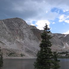
The Continental Divide runs through this region, splitting water flow between two major directions. From here, rivers either feed toward the Pacific Ocean or the Atlantic Ocean.
The community of curious travelers
AroundUs brings together thousands of curated places, local tips, and hidden gems, enriched daily by 60,000 contributors worldwide.