Seminoe State Park, State park in Sinclair, United States.
Description
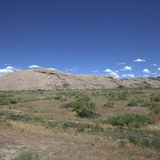
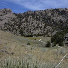
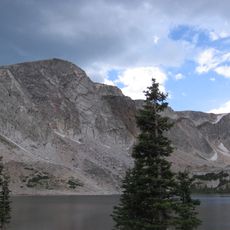
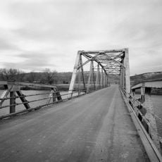
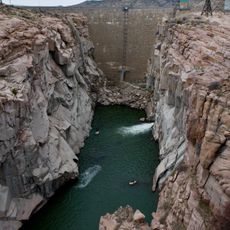
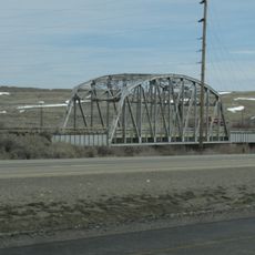
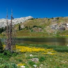
Seminoe State Park is a recreation area centered on a large reservoir surrounded by rocky ridges and open shoreline in central Wyoming. The park provides multiple camping grounds and beach areas designed for water sports, fishing, and day-use visits.
History
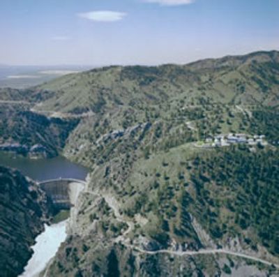
The park was formally established in 1965 through a partnership between the U.S. Bureau of Reclamation and Wyoming Recreation Commission. Its creation followed dam construction that reshaped the valley into a recreational landscape.
Culture
The name Seminoe honors Basil Cimineau Lajeunesse, a French trapper who explored the area in the 1800s and left his mark on the landscape's identity.
Practical
The park is divided into separate camping zones, each with its own facilities and beach access along the water. It helps to choose your camping area ahead of time based on whether you prefer quieter surroundings or easier access to amenities.
Did you know?
Sand Mountain Day Use area features the longest stretch of sandy beach at the reservoir and open picnic grounds, making it popular for visitors who want to spend just a few hours without camping. Many people overlook this spot in favor of the main camping zones despite its appeal for short visits.
AroundUs brings together thousands of curated places, local tips, and hidden gems, enriched daily by 60,000 contributors worldwide. Discover all places nearby (Wyoming).
Wyoming preserves geological sites that include thermal springs, canyons, and rock formations. The state protects historic locations such as forts, rock art, and dinosaur tracks. Devils Tower rises 1,267 feet (386 meters) above the terrain and represents a significant geological formation. Fossil...
Independence Rock
52.9 km
Devil's Gate
51.6 km
Martin's Cove
53.4 km
Medicine Bow Peak
90.4 km
Casper Mountain
89.8 km
Como Bluff
68.7 km
Pathfinder Dam
45.6 km
Fort Fred Steele State Historic Site
31.8 km
Elk Mountain
55.3 kmBone Cabin Quarry
49.1 km
Tom Sun Ranch
51.4 km
George Ferris Mansion
42.8 km
Frontier Formation
59.3 km
Pathfinder National Wildlife Refuge
48.6 km
Bishop House
66.7 km
Parco Historic District
37.1 km
Ryan Ranch
77.5 km
First National Bank of Rock River
81.9 km
DMJ Pick Bridge
57.8 km
Rawlins Residential Historic District
42.5 km
France Memorial United Presbyterian Church
42.7 km
DML Butler Bridge
91.4 km
DFU Elk Mountain Bridge
56.2 km
Downtown Rawlins Historic District
42.8 km
DUX Bessemer Bend Bridge
84.2 km
Pathfinder Dam Historic District
45.6 km
Lincoln Highway Bridge over Platte River
34.7 km
Snowy Range Scenic Byway
92.3 kmDiscover hidden gems everywhere you go!
From secret cafés to breathtaking viewpoints, skip the crowded tourist spots and find places that match your style. Our app makes it easy with voice search, smart filtering, route optimization, and insider tips from travelers worldwide. Download now for the complete mobile experience.
A unique approach to discovering new places❞
— Le Figaro
All the places worth exploring❞
— France Info
A tailor-made excursion in just a few clicks❞
— 20 Minutes