Independence Rock, Historic landmark in Natrona County, US
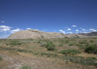
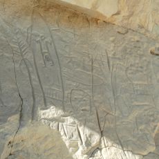
Independence Rock rises as a granite formation 128 feet (39 meters) above the surrounding plains, extending 1,900 feet (579 meters) in length and 850 feet (259 meters) in width. The smooth, rounded surface of the rock clearly displays thousands of carved names and dates scattered across its accessible face.
The rock received its name from fur trappers who camped here and celebrated American Independence Day on July 4, 1830. Over the following decades, it became an important landmark along the Oregon Trail where emigrants judged their travel progress and hoped to reach the mountains before winter set in.
Travelers carved names and messages into the granite surface to leave signs and notes for other families heading west. These personal inscriptions turned the rock into a kind of message board where people searched for traces of friends or relatives who had passed through before them.
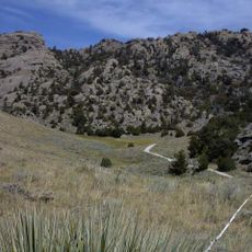
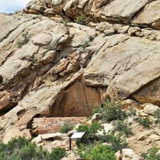
A circular path at the base of the rock allows a walk around the formation, and information panels explain the role of the site during the emigration period. Those who wish can climb to the top of the rock, but should wear sturdy footwear and take care in wet weather or strong winds.
Over 5,000 names and inscriptions cover the granite surface, mostly from the years between 1840 and 1869, earning the site the nickname Register of the Desert. Some of the oldest visible inscriptions date back to the early 1820s and testify to the first explorers who traveled through this area long before the great emigration waves.
The community of curious travelers
AroundUs brings together thousands of curated places, local tips, and hidden gems, enriched daily by 60,000 contributors worldwide.