Enable Location

We need your location to show you interesting places around you

Discover nearby places

Find interesting locations and hidden gems around you

Precise directions

Get accurate directions and distances to places

Your location is never shared with other users. It's only used when you tap the location button.

Natrona County

Log in to your account

Start exploring — it's free

Trusted by 62,227 travelers worldwide

Continue with Google
Continue with Apple
or

We will send you a code to connect

By continuing, you accept our Terms and Conditions and our Privacy Policy

Check your inbox

We've sent a pincode in your inbox. Please enter the code below.

Natrona County, Administrative county in central Wyoming, United States

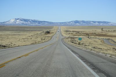
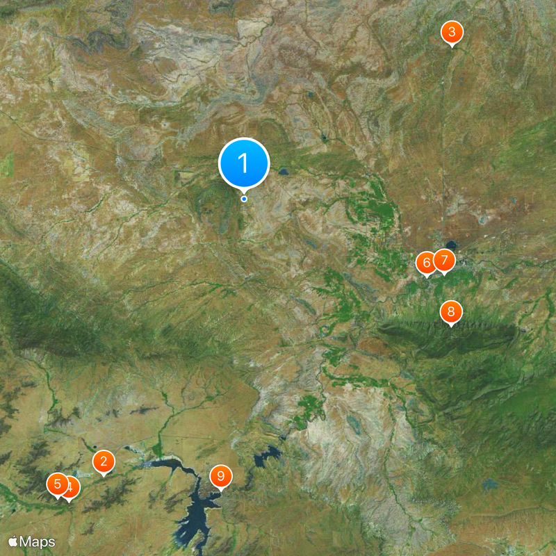
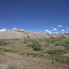
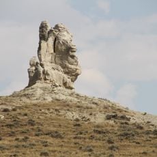
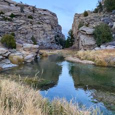
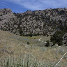
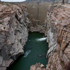
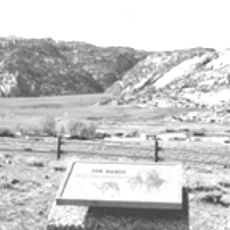
Natrona County is an administrative county in central Wyoming that encompasses several notable landmarks, including Casper Mountain, Devil's Gate, and Independence Rock within its borders. The region features diverse terrain with mountains, rivers, and geological formations that shape its overall character.

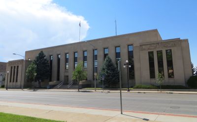
The county was established in 1888 by the Wyoming Territory legislature and named after natron mineral deposits found throughout the area. This founding marked a turning point in the administrative organization of the expanding region.

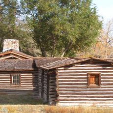
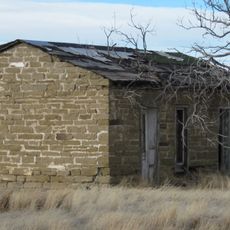
The land was long home to the Cheyenne, Arapaho, Shoshone, and Sioux peoples, whose legacy remains visible in place names and local stories passed down through generations. Visitors can encounter traces of these cultures at several sites throughout the region.

The region is served by Casper Regional Airport for access, with several smaller airfields offering additional entry points. Roads connect the main towns and attractions, though having a vehicle is helpful for exploring the expansive terrain.

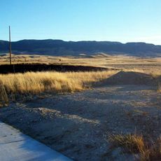
Hell's Half Acre is a geological depression spanning roughly 320 acres with unusual rock formations shaped by erosion over many centuries. This natural wonder draws visitors who want to see how water and time have carved the land.

The community of curious travelers

AroundUs brings together thousands of curated places, local tips, and hidden gems, enriched daily by 60,000 contributors worldwide.

Start exploring
Location
Inception
1888
Capital city
Casper
Shares border with
Johnson County, Converse County, Carbon County, Fremont County, Washakie County
GPS coordinates
42.97000,-106.80000
Latest update
December 20, 2025 12:04
Around this place
Independence Rock
United States of America

Independence Rock

59.5 km
Teapot Rock
United States of America

Teapot Rock

49.4 km
Devil's Gate
United States of America

Devil's Gate

67.1 km
Martin's Cove
United States of America

Martin's Cove

67.7 km
Fort Caspar
United States of America

Fort Caspar

38 km
Natrona County High School
United States of America

Natrona County High School

40.9 km
Casper Mountain
United States of America

Casper Mountain

46.4 km
Pathfinder Dam
United States of America

Pathfinder Dam

56 km
United States of America

Pathfinder Reservoir

56 km
Tom Sun Ranch
United States of America

Tom Sun Ranch

67.9 km
National Historic Trails Interpretive Center
United States of America

National Historic Trails Interpretive Center

39.5 km
Edness K. Wilkins State Park
United States of America

Edness K. Wilkins State Park

52.4 km
Pathfinder National Wildlife Refuge
United States of America

Pathfinder National Wildlife Refuge

55.7 km
Dean Morgan Junior High School
United States of America

Dean Morgan Junior High School

41 km
United States of America

Garfield Peak

43.3 km
Bishop House
United States of America

Bishop House

67.1 km
Townsend Hotel
United States of America

Townsend Hotel

41 km
Masonic Temple
United States of America

Masonic Temple

41 km
Casper Downtown Historic District
United States of America

Casper Downtown Historic District

41 km
United States of America

Church of Saint Anthony

41.2 km
Stone Ranch Stage Station
United States of America

Stone Ranch Stage Station

12.3 km
Midwest Oil Company Hotel
United States of America

Midwest Oil Company Hotel

41.3 km
United States of America

Roosevelt High School

40.6 km
Elks Lodge No. 1353
United States of America

Elks Lodge No. 1353

41.3 km
Odd Fellows Building
United States of America

Odd Fellows Building

41 km
Roosevelt School
United States of America

Roosevelt School

40.5 km
Casper Fire Department Station No. 1
United States of America

Casper Fire Department Station No. 1

40.9 km
Ohio Oil Company Building
United States of America

Ohio Oil Company Building

41.1 km
Show the full map
« Natrona County - Administrative county in central Wyoming, United States » is provided by Around Us (aroundus.com). Images and texts are derived from Wikimedia project under a Creative Commons license. You are allowed to copy, distribute, and modify copies of this page, under the conditions set by the license, as long as this note is clearly visible.

Discover hidden gems everywhere you go!

From secret cafés to breathtaking viewpoints, skip the crowded tourist spots and find places that match your style. Our app makes it easy with voice search, smart filtering, route optimization, and insider tips from travelers worldwide. Download now for the complete mobile experience.

Around Us App Screenshot

A unique approach to discovering new places

Le Figaro

All the places worth exploring

France Info

A tailor-made excursion in just a few clicks

20 Minutes

Around Us
Travel Guide & Maps
Download

Send to your phone

QR Code
1

Open the camera app on your mobile.

2

Point at the QR code with your camera. A notification will appear.

3

Tap the notification to open the link.