Chest opened
+${chestReward.xp} XP
Explorer
NOUVEAU ×${chestReward.collectible.quantity}
tapez pour fermer

See the monuments around you in AR Open chests in the app

Around Us is built for your phone — point your camera at the streets and discover the monuments and places around you in augmented reality. Around Us is built for your phone — chests unlock when you walk, explore and capture nearby places.

•

Enable Location

We need your location to show you interesting places around you

Discover nearby places

Find interesting locations and hidden gems around you

Precise directions

Get accurate directions and distances to places

Your location is never shared with other users. It's only used when you tap the location button.

Log in to your account

Start exploring — it's free

Trusted by 89,494 travelers worldwide

Continue with Google
Continue with Apple
or

We will send you a code to connect

By continuing, you accept our Terms and Conditions and our Privacy Policy

Check your inbox

We've sent a pincode in your inbox. Please enter the code below.

Pathfinder Reservoir
Discussion Reviews Photo
3.8k Popularity

Pathfinder Reservoir, body of water

Audio guide · About one minute
Preparing your audio guide… The audio guide could not be loaded, please retry.Sign in to listen to the audio guide

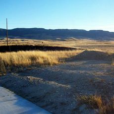
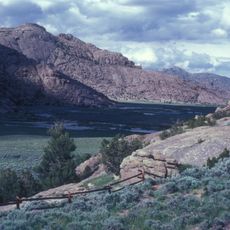
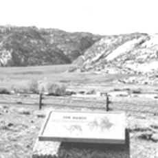
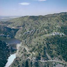
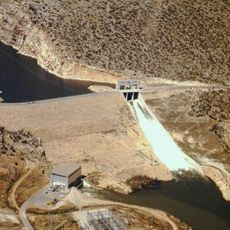
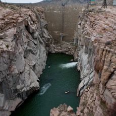
Pathfinder Reservoir is an artificial lake in Wyoming formed by a dam across the North Platte River, situated about 47 miles southwest of Casper. The water spreads across a large area with a shoreline stretching over 115 miles, surrounded by open land and rolling hills.

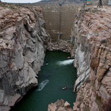
The Pathfinder Dam was built in the early 1900s to store water for irrigation and flood control. Today it is the second largest reservoir in Wyoming and has supported water supply for farms and communities in the region for many decades.

The reservoir takes its name from the Pathfinder Trail, a historic route once used by pioneers in the area. Today it serves as a gathering place where locals and visitors enjoy fishing, boating, and outdoor recreation together.

The site is accessible via US Highway 220 followed by County Roads, with five campgrounds available for overnight stays and boat ramps for water access. Weather here can change quickly even in summer, and water levels vary throughout the year, so it is wise to check conditions before visiting.

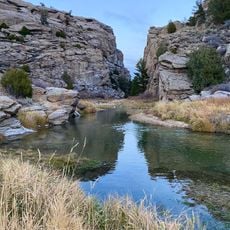
The reservoir hosts the annual HAWG Ice Fishing Derby each winter, where anglers compete by fishing through the ice for the largest catch. The lake is also noted for its deep blue water, a striking visual feature caused by its depth and clarity.

The community of curious travelers

AroundUs brings together thousands of curated places, local tips, and hidden gems, enriched daily by 60,000 contributors worldwide.

Start exploring
Location
GPS coordinates
42.38681,-106.95659
Latest update
September 13, 2026 13:20
Around this place
Independence Rock
United States of America

Independence Rock

11.7 mi
Devil's Gate
United States of America

Devil's Gate

13.6 mi
Martin's Cove
United States of America

Martin's Cove

15.1 mi
Fort Caspar
United States of America

Fort Caspar

43.1 mi
Casper Mountain
United States of America

Casper Mountain

41.3 mi
Pathfinder Dam
United States of America

Pathfinder Dam

7.7 mi
Fort Fred Steele State Historic Site
United States of America

Fort Fred Steele State Historic Site

42.1 mi
Split Rock
United States of America

Split Rock

29.9 mi
Tom Sun Ranch
United States of America

Tom Sun Ranch

13.9 mi
George Ferris Mansion
United States of America

George Ferris Mansion

43.7 mi
Seminoe State Park
United States of America

Seminoe State Park

23.1 mi
Frontier Formation
United States of America

Frontier Formation

36.6 mi
Pathfinder National Wildlife Refuge
United States of America

Pathfinder National Wildlife Refuge

9.5 mi
Alcova Dam
United States of America

Alcova Dam

16.4 mi
Bishop House
United States of America

Bishop House

33.9 mi
Parco Historic District
United States of America

Parco Historic District

42.8 mi
Rawlins Residential Historic District
United States of America

Rawlins Residential Historic District

43.7 mi
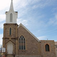
France Memorial United Presbyterian Church
United States of America

France Memorial United Presbyterian Church

43.9 mi
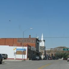
Downtown Rawlins Historic District
United States of America

Downtown Rawlins Historic District

43.9 mi
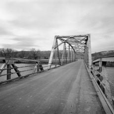
DUX Bessemer Bend Bridge
United States of America

DUX Bessemer Bend Bridge

34.3 mi
United States of America

Oregon Trail Historical Marker

32.9 mi
Pathfinder Dam Historic District
United States of America

Pathfinder Dam Historic District

7.7 mi
United States of America

Emigrant Gap

38.2 mi
United States of America

Red Buttes Crossing

34.3 mi
United States of America

Telegraph Road Camp

38.5 mi
United States of America

Six Mile Camp

29.4 mi
United States of America

Soda Lake Camp

23.7 mi
United States of America

Split Rock Meadows

30.4 mi
Show the full map
Reviews
Share your experience

No review yet

Discussions
Start a discussion...

No discussion yet

« Pathfinder Reservoir - body of water » is provided by Around Us (aroundus.com). Images and texts are derived from Wikimedia project under a Creative Commons license. You are allowed to copy, distribute, and modify copies of this page, under the conditions set by the license, as long as this note is clearly visible.

Discover hidden gems everywhere you go!

From secret cafés to breathtaking viewpoints, skip the crowded tourist spots and find places that match your style. Our app makes it easy with voice search, smart filtering, route optimization, and insider tips from travelers worldwide. Download now for the complete mobile experience.

Around Us App Screenshot
❝

A unique approach to discovering new places❞

— Le Figaro

❝

All the places worth exploring❞

— France Info

❝

A tailor-made excursion in just a few clicks❞

— 20 Minutes

Around Us
Travel Guide & Maps
Download

Send to your phone

QR Code
1

Open the camera app on your mobile.

2

Point at the QR code with your camera. A notification will appear.

3

Tap the notification to open the link.