Castle Gardens Petroglyph Site
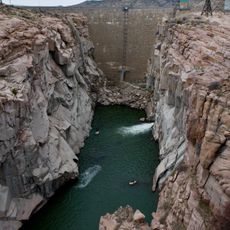
Castle Gardens Petroglyph Site, Archaeological site in Fremont County, Wyoming.
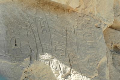
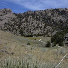
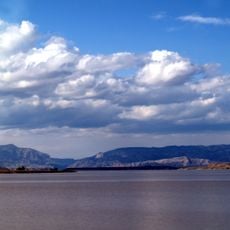
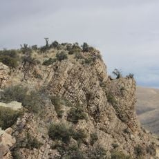
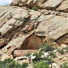
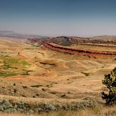
Castle Gardens is an archaeological site featuring rock carvings on sandstone cliffs shaped like towers and castle walls spread across a large landscape. The artwork was carved directly into the vertical rock faces and forms a significant collection of ancient designs.
The rock carvings were created between the 10th and 13th centuries by people connected to Navajo and Apache cultures. The site was listed in the National Register in 1969, making it an officially protected archaeological location.
The rock carvings display shields, turtles, and animal figures that reflect how people expressed themselves through stone art. Walking through the site, you notice how these designs were placed on the cliff faces as if telling stories about the natural world and daily life.
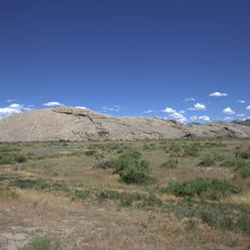
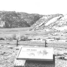
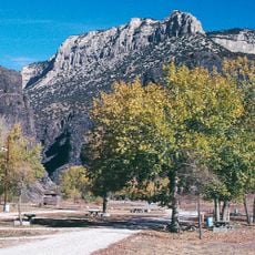
Reaching the site requires a high-clearance, four-wheel-drive vehicle because access roads are unpaved and rough in many sections. Allow extra time for the drive, as the routes from nearby towns cover considerable distance.
The shield designs found here display carving methods and patterns that differ clearly from rock art at other locations. These particular motifs make the landscape a scientifically important place for researchers and those studying ancient art.
Location: Fremont County
GPS coordinates: 42.92930,-107.61370
Latest update: December 6, 2025 17:46
Wyoming preserves geological sites that include thermal springs, canyons, and rock formations. The state protects historic locations such as forts, rock art, and dinosaur tracks. Devils Tower rises 1,267 feet (386 meters) above the terrain and represents a significant geological formation. Fossil...
Independence Rock
62.6 km
Devil's Gate
62.8 km
Martin's Cove
61.2 km
Hot Springs State Park
93.6 km
Wind River Canyon
80.2 km
Wyoming Dinosaur Center
92.6 km
Sinks Canyon State Park
99.4 km
Boysen Reservoir
70.9 km
Pathfinder Dam
80.6 km
Phosphoria Formation
9 km
Tom Sun Ranch
63.1 km
Frontier Formation
88.6 km
Boysen State Park
71 km
Pathfinder National Wildlife Refuge
71.4 km
Red Canyon
90 km
Jackson Park Town Site Addition Brick Row
92.1 km
CQA Four Mile Bridge
88.7 km
BMU Bridge over Wind River
92.2 km
Alex Halone House
92.6 km
Downtown Thermopolis Historic District
93.3 km
C. H. King Company and First National Bank of Shoshoni
52.7 km
United States Post Office and Courthouse
91.7 km
Lander Downtown Historic District
91.8 km
DUX Bessemer Bend Bridge
90.1 km
Grand Theatre
91.7 km
Acme Theatre
63.9 km
Pathfinder Dam Historic District
80.6 km
Thermopolis Swinging Bridge
93.6 kmVisited this place? Tap the stars to rate it and share your experience / photos with the community! Try now! You can cancel it anytime.
Discover hidden gems everywhere you go!
From secret cafés to breathtaking viewpoints, skip the crowded tourist spots and find places that match your style. Our app makes it easy with voice search, smart filtering, route optimization, and insider tips from travelers worldwide. Download now for the complete mobile experience.
A unique approach to discovering new places❞
— Le Figaro
All the places worth exploring❞
— France Info
A tailor-made excursion in just a few clicks❞
— 20 Minutes