Fremont County, County administrative division in Wyoming, United States.
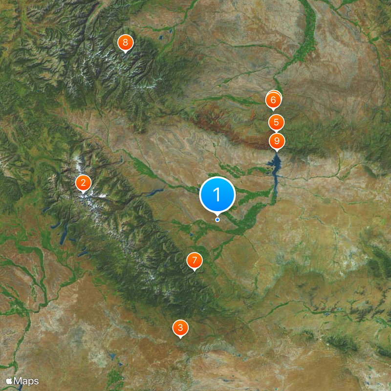
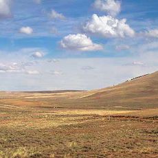
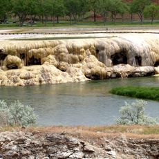
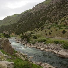
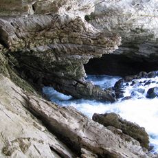
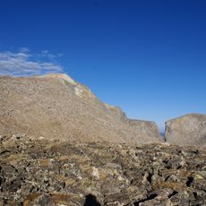
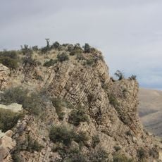
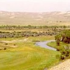
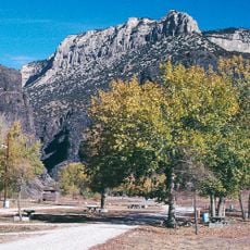
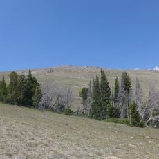
Fremont County is an administrative division in west-central Wyoming covering approximately 24,000 square kilometers of mountainous terrain, high plains, and the Wind River Indian Reservation. The landscape ranges from dry basins to high peaks and includes several communities of varying sizes throughout the region.
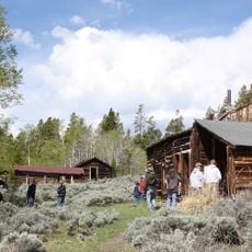
The Wyoming Territorial Legislature established Fremont County in 1884, naming it after John Charles Fremont, a military officer and explorer who mapped vast portions of the American West. The county developed into a center for ranching and resource extraction that shaped settlement patterns for generations.
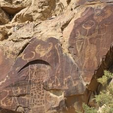
The Eastern Shoshone and Northern Arapaho maintain their traditions through ceremonies, gatherings, and community life within the Wind River Indian Reservation. You can encounter this living heritage in local museums, trading posts, and during seasonal celebrations that are open to visitors.
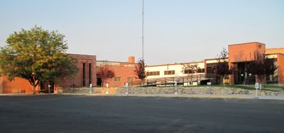
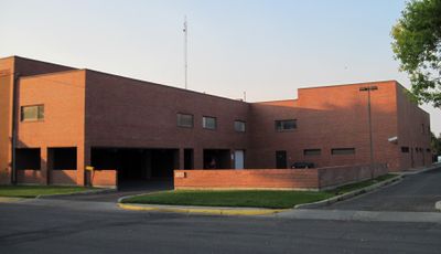
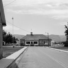
Lander serves as the county seat and administrative center, while Riverton functions as the main commercial hub with shopping and services. Distances are substantial across the county, and road conditions vary significantly depending on season and elevation.
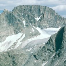
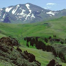
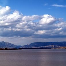
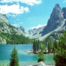
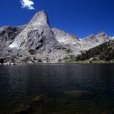
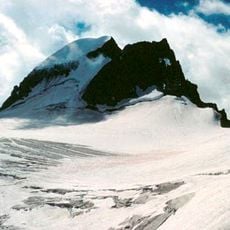
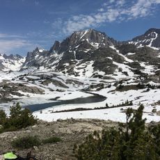
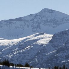
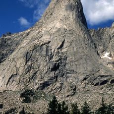
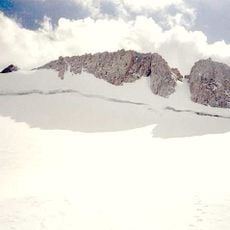
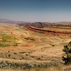
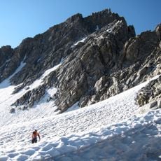
The county displays striking geographic extremes, with arid conditions around Boysen State Park contrasting sharply with glaciated peaks in the Wind River Mountains. A single drive across the region can take you from desert terrain to alpine landscapes in just a few hours.
The community of curious travelers
AroundUs brings together thousands of curated places, local tips, and hidden gems, enriched daily by 60,000 contributors worldwide.