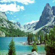
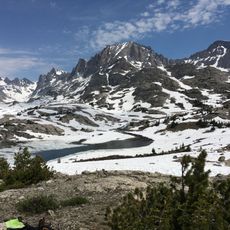
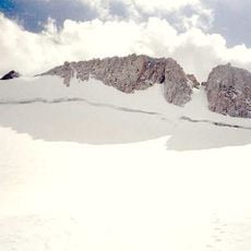
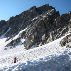
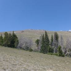
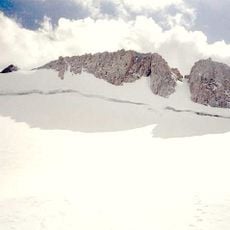
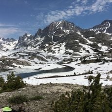
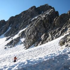
Gannett Glacier, Glacier in Wind River Range, Wyoming.
Gannett Glacier is the largest glacier in the U.S. Rocky Mountains, lying on the east and north slopes of Gannett Peak, Wyoming's highest summit, east of the Continental Divide in the Wind River Range. It is one of dozens of glaciers in the Fitzpatrick Wilderness of Shoshone National Forest. Its meltwater flows into Dinwoody Creek and then the Wind River.
Photographs show the glacier has lost a large part of its area since the 1920s. Its surface was estimated at 4.6 square kilometres in 1950 and measured at 3.63 square kilometres in 1999. Surveys in 1958 and 1983 recorded the ice thinning by 18.6 metres over 25 years, a retreat attributed to warming and reduced moisture.
A 1989 study compared Gannett and Dinwoody glaciers to measure how much meltwater they feed into Dinwoody Creek, which drains into the Wind River. It found the glaciers' share of that stream's water declining as the ice thinned and retreated, a change that also affects downstream farms and ranches.
Gannett Glacier lies on the east and north slopes of Gannett Peak, Wyoming's highest summit at 4,207 m, reached only by multi-day off-trail routes through the Fitzpatrick Wilderness of Shoshone National Forest. The approach crosses high alpine terrain and rocky passes; snowfields and crevasses persist late into summer, so an ice axe and rope are needed. Storms build quickly at this altitude.
Between 1958 and 1983 the ice thinned by 18.6 metres, a loss of depth recorded over just 25 years. The same surveys show the glacier covered about 4.6 square kilometres in 1950 but only 3.63 square kilometres by 1999.
The community of curious travelers
AroundUs brings together thousands of curated places, local tips, and hidden gems, enriched daily by 93,782 contributors worldwide.