Enable Location

We need your location to show you interesting places around you

Discover nearby places

Find interesting locations and hidden gems around you

Precise directions

Get accurate directions and distances to places

Your location is never shared with other users. It's only used when you tap the location button.

Gannett Peak

Log in to your account

Start exploring — it's free

Trusted by 62,258 travelers worldwide

Continue with Google
Continue with Apple
or

We will send you a code to connect

By continuing, you accept our Terms and Conditions and our Privacy Policy

Check your inbox

We've sent a pincode in your inbox. Please enter the code below.

Gannett Peak

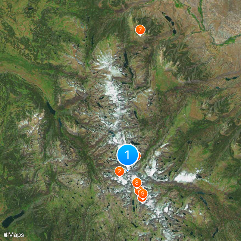
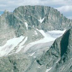
Gannett Peak, Mountain summit in Wind River Range, Wyoming, US

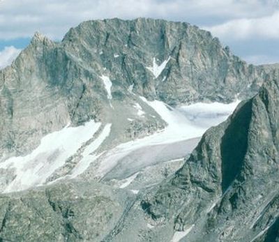
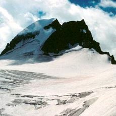
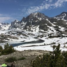
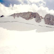
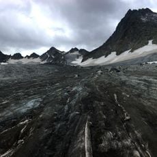
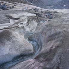
Gannett Peak is Wyoming's highest mountain, rising to 4,207 meters and displaying four major glaciers across its slopes. The summit area lies within the Wind River Range and is shaped by extensive glacier systems that define the terrain.

Arthur Tate and Floyd Stahlnaker completed the first documented ascent to the summit in 1922. This achievement established the initial route used by climbers attempting the peak.

The peak is named after Henry Gannett, an American geographer whose work shaped mapping efforts in this region. The name honors his contributions to understanding the topography of these mountains.

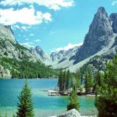
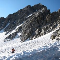
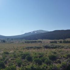
Climbing here requires technical mountaineering skills and typically takes three to five days depending on the route selected. The main approaches are the Glacier Trail and Pole Creek Trail, each offering different terrain and conditions.

The northern slope holds Gannett Glacier, the largest glacier system in the Rocky Mountains south of the Canadian border. This ice mass is visually striking and defines the character of the mountain's northern face.

The community of curious travelers

AroundUs brings together thousands of curated places, local tips, and hidden gems, enriched daily by 60,000 contributors worldwide.

Start exploring
Location
Elevation above the sea
4,207 m
GPS coordinates
43.18440,-109.65404
Latest update
December 14, 2025 17:54
« Gannett Peak - Mountain summit in Wind River Range, Wyoming, US » is provided by Around Us (aroundus.com). Images and texts are derived from Wikimedia project under a Creative Commons license. You are allowed to copy, distribute, and modify copies of this page, under the conditions set by the license, as long as this note is clearly visible.

Discover hidden gems everywhere you go!

From secret cafés to breathtaking viewpoints, skip the crowded tourist spots and find places that match your style. Our app makes it easy with voice search, smart filtering, route optimization, and insider tips from travelers worldwide. Download now for the complete mobile experience.

Around Us App Screenshot

A unique approach to discovering new places

Le Figaro

All the places worth exploring

France Info

A tailor-made excursion in just a few clicks

20 Minutes

Around Us
Travel Guide & Maps
Download

Send to your phone

QR Code
1

Open the camera app on your mobile.

2

Point at the QR code with your camera. A notification will appear.

3

Tap the notification to open the link.