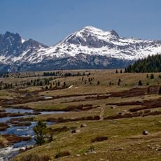
Jackson Peak, Mountain summit in Wind River Range, Wyoming, US
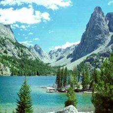
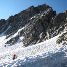
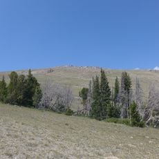
Jackson Peak is a mountain in Wyoming's Wind River Range that reaches about 13,500 feet in elevation. Its rounded ridge profile stands out clearly when viewed from the Elkhart Park approach corridor.
Jackson Peak is named after William Henry Jackson, the photographer and adventurer who recorded the landscapes of the American West. The name is the only historical fact the sources give for the mountain; they record no first ascent, construction or later renaming. The peak stands on the Continental Divide, 0.75 miles (1.21 km) southeast of Fremont Peak.
The peak honours William Henry Jackson, the photographer and adventurer whose name it carries. It stands inside two designated wildernesses: the Bridger Wilderness of Bridger-Teton National Forest and the Fitzpatrick Wilderness of Shoshone National Forest. The whole surrounding area is managed as protected wilderness, so climbers find no marked route or facilities beyond the trails.
To reach the peak, drive to Pinedale via US Highway 191 and continue on Forest Road 101 to the Pole Creek Trailhead. The route demands proper preparation and equipment suited for mountain terrain, though it remains accessible to experienced hikers.
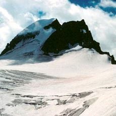
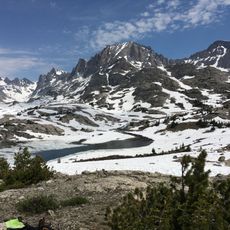
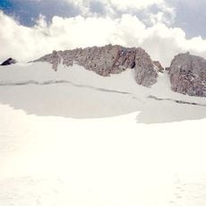
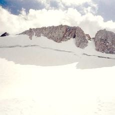
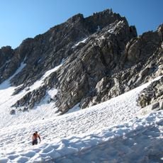
Jackson Peak sits on the Continental Divide just 0.75 miles (1.21 km) southeast of Fremont Peak, and the Bull Lake Glacier lies immediately north and east of the mountain. The approach starts at the Elkhart Park Trailhead above Pinedale, follows the Pole Creek Trail to Island Lake, then the Titcomb Trail east to Island Lakes; the climb goes over Indian Pass and up the southeast ridge, taking three to five days.
The community of curious travelers
AroundUs brings together thousands of curated places, local tips, and hidden gems, enriched daily by 92,630 contributors worldwide.