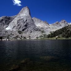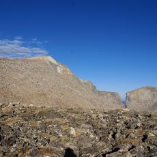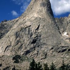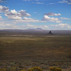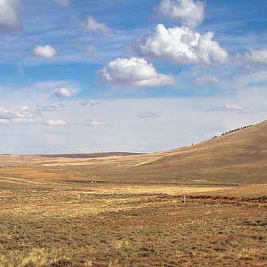
South Pass, Mountain pass at Continental Divide in Fremont County, Wyoming, US.
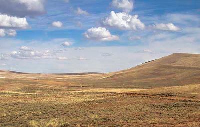
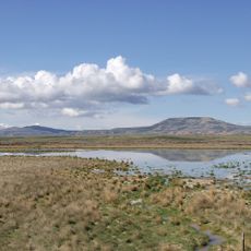
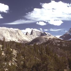
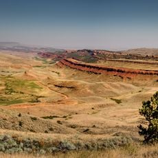
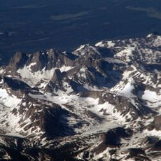
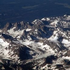
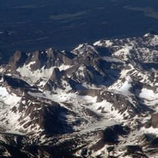
South Pass is a broad, gentle saddle across the Continental Divide in the Rocky Mountains of southwestern Wyoming, reaching 7,412 feet (2,259 m) and 7,550 feet (2,300 m). It lies in a high region 35 miles wide between the Wind River Range to the north and the Oregon Buttes and Great Divide Basin to the south. The crossing is so gradual that travelers had to watch closely to find its crest.
Robert Stuart and six companions made the first recorded crossing on October 22, 1812, guided by Shoshone directions. Jedediah Smith crossed east to west in February 1824, and William Sublette brought the first wagon over in 1830. From 1841 wagon trains on the Oregon, California and Mormon trails used the pass until the 1869 transcontinental railroad bypassed it.
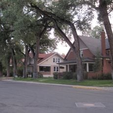
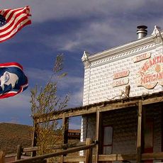
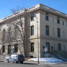
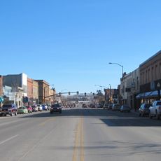
The pass lies on the route of the Oregon, California and Mormon trails and the Pony Express. Cheyenne and Crow peoples knew it long before 1812, when Robert Stuart's party crossed; a Shoshone had told Stuart of a shorter southern trace. In 1867 a small gold rush led prospectors to found South Pass City, Atlantic City and Miner's Delight nearby.
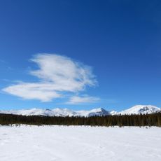
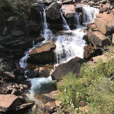
Access is straightforward via U.S. Route 287, which remains open year-round, though summer and fall offer the most comfortable conditions for exploration. The elevation and exposed location mean weather can change quickly, so visitors should prepare for shifting conditions regardless of season.
South Pass is the lowest point on the Continental Divide between the Central and Southern Rocky Mountains, which is why emigrants could cross the Rockies with wagons. John C. Frémont, surveying the pass on 8 August 1842, wrote that the ascent was so gradual that he had to watch closely to find the culminating point.
The community of curious travelers
AroundUs brings together thousands of curated places, local tips, and hidden gems, enriched daily by 93,355 contributors worldwide.