Boars Tusk, Volcanic neck in Sweetwater County, United States
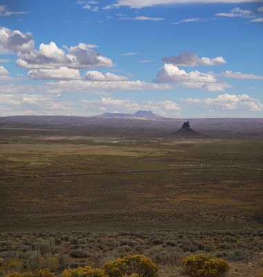
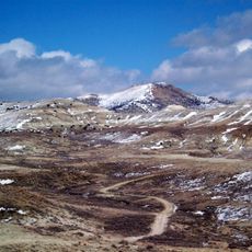
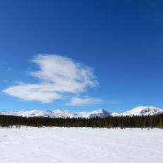
Boars Tusk is a volcanic neck that rises roughly 400 feet above the surrounding plains near Killpecker Creek. Its dark lamproite rock contrasts sharply with the light-colored sandy terrain that spreads around it in all directions.
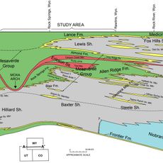
This formation was created roughly 2.5 million years ago as part of an extinct volcano within the Rock Springs Uplift area. Erosion gradually removed the surrounding rock over millions of years, leaving only this isolated core standing today.
The geological formation holds importance for multiple indigenous groups, including the Shoshone, Arapaho, Ute, Shoshone Bannock, Lakota, Cheyenne, and Apsáalooké nations.
The best time to visit is during warmer months when roads are dry and passable. A vehicle with high ground clearance helps navigate the access routes that lead to the site from US Highway 191.
Lamproite is a rare volcanic rock that forms only in specific geological conditions found in few places worldwide. This location serves as a natural laboratory for geologists studying this uncommon mineral composition.
The community of curious travelers
AroundUs brings together thousands of curated places, local tips, and hidden gems, enriched daily by 60,000 contributors worldwide.