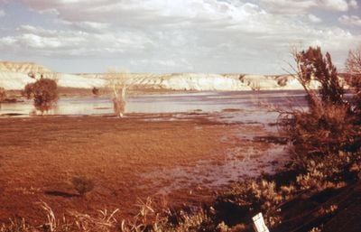
Fontenelle Reservoir, Water storage on the Green River in Wyoming
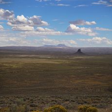
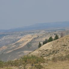
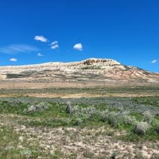
Fontenelle Reservoir is a man-made lake in southwestern Wyoming, created by a dam on the Green River. The shoreline curves through open desert terrain, with several access points spread along the water's edge.
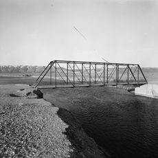
The dam was completed in 1964, backing up the Green River to form the reservoir. Within a year, a seepage problem on the western side forced engineers to drain the water and carry out repairs, with further reinforcement work following in later decades.
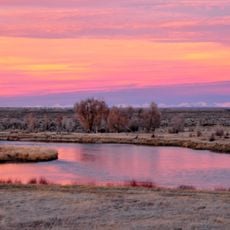
The reservoir draws people from nearby towns who come to fish, boat, or simply spend time near the water in a part of Wyoming with very few gathering spots. On weekends, small groups set up camp along the shore and stay for several days at a time.
The reservoir sits along Highway 189 in a remote part of Wyoming, so it is worth arriving with supplies already packed. Fontenelle Creek Campground offers basic facilities near the water, and simpler spots below the dam are available for those who prefer more open surroundings.
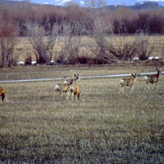
Launching a boat here costs nothing, which is rare for a reservoir of this size in the American West. Just below the dam, the Green River flows through the Seedskadee National Wildlife Refuge, where bald eagles and deer are commonly seen along the banks.
The community of curious travelers
AroundUs brings together thousands of curated places, local tips, and hidden gems, enriched daily by 60,000 contributors worldwide.