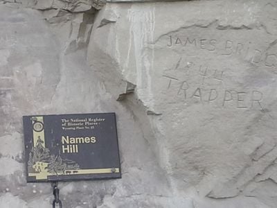
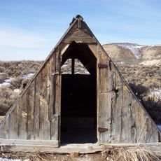
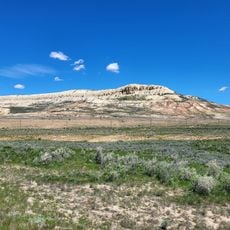
Names Hill, Historical cliff in LaBarge, Wyoming, US
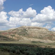
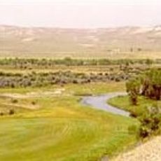
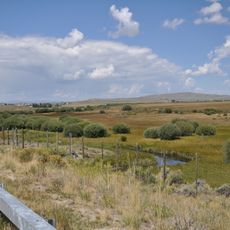
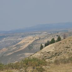
Names Hill is a sandstone cliff on the bank of the Green River near LaBarge, Wyoming, its surface covered by thousands of carved names and inscriptions. The rock face sits right along a historic westward route and served as a well-known stopping point for 19th-century travelers heading across the continent.
The cliff became a landmark during the Oregon Trail era, when mountain men first began carving their names into the rock around the 1820s. Over the following decades, the number of inscriptions grew as the route carried more settlers and traders heading west.
Native American pictographs carved into the rock surface predate European settlement and show that this spot served as a meeting point for indigenous peoples long before wagon trains passed through. Later travelers added their names in layers on top, turning the cliff into a kind of open-air guestbook written in stone.
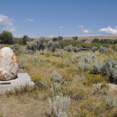
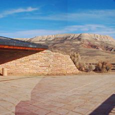
The cliff is a short drive south of LaBarge along US Route 189, and a small parking area nearby makes it easy to stop. Walking along the base of the rock lets you read the inscriptions at close range, and softer light in the morning or late afternoon makes the carvings easier to see.
Among the names carved into the rock is the signature of Jim Bridger, a well-known mountain man and frontier scout of the American West. The puzzling detail is that historical sources suggest Bridger could not read or write, leaving open the question of who actually cut his name into the stone.
The community of curious travelers
AroundUs brings together thousands of curated places, local tips, and hidden gems, enriched daily by 60,000 contributors worldwide.