Mount Fitzpatrick

Log in to your account

AroundUs is a community-driven map of interesting places, built by curious explorers like you. It grows with every review, story, and photo you share.
Connect to save your favorite spots, contribute locations, and create personalized routes.
By continuing, you accept our Terms and Conditions and our Privacy Policy
Add to collection
Map
Suggest a change
Share

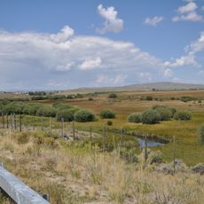
Mount Fitzpatrick, Mountain summit in Salt River Range, Wyoming, US.

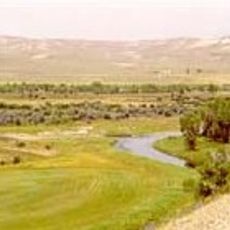
Mount Fitzpatrick reaches an elevation of 10,907 feet with a prominence of 2,247 feet in the Salt River Range, parallel to the Wyoming Range.

The peak earned its designation during early mapping expeditions of the American West, contributing to the geological understanding of Wyoming's mountainous regions.

The mountain forms part of the Bridger-Teton National Forest, where local communities maintain traditional hunting and outdoor recreation practices throughout the seasons.

Access to Mount Fitzpatrick requires navigation via Greys River Road, with optimal climbing conditions occurring between late June and September due to snow patterns.

The north face retains snow longer than surrounding peaks, while Crow Creek Lakes near the mountain display striking green-blue waters against the rocky backdrop.

Location: Wyoming

GPS coordinates: 42.72397,-110.77639

Latest update: March 17, 2025 19:57

Around this place
Show the full map
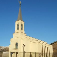
Star Valley Wyoming Temple
United States of America

Star Valley Wyoming Temple

12.9 km
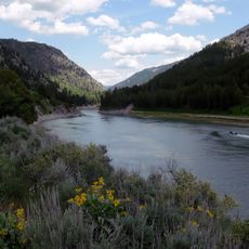
Snake River Canyon
United States of America

Snake River Canyon

53.4 km
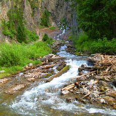
Intermittent Spring
United States of America

Intermittent Spring

6.3 km
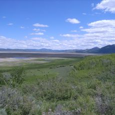
Grays Lake National Wildlife Refuge
United States of America

Grays Lake National Wildlife Refuge

65.1 km
Upper Green River Rendezvous Site
United States of America

Upper Green River Rendezvous Site

62.1 km
Fort Bonneville
United States of America

Fort Bonneville

55.8 km
Rock Church (Auburn, Wyoming)
United States of America

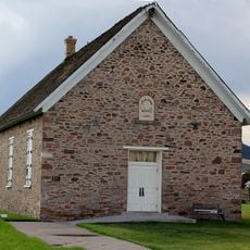
Rock Church (Auburn, Wyoming)

19.9 km
Father DeSmet's Prairie Mass Site
United States of America

Father DeSmet's Prairie Mass Site

62.2 km
Montepelier Odd Fellows Hall
United States of America

Montepelier Odd Fellows Hall

62.9 km
Georgetown Relief Society Hall
United States of America

Georgetown Relief Society Hall

56 km
Trappers Point Site
United States of America

Trappers Point Site

69.9 km
Church of St. Hubert the Hunter and Library
United States of America

Church of St. Hubert the Hunter and Library

61.1 km
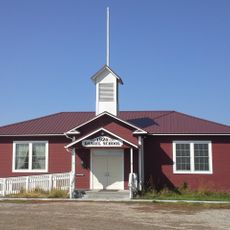
Daniel School
United States of America

Daniel School

59.4 km
Montpelier Historic District
United States of America

Montpelier Historic District

62.5 km
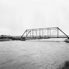
ENP Bridge over Green River
United States of America

ENP Bridge over Green River

66.3 km
Soda Springs City Hall
United States of America

Soda Springs City Hall

68 km
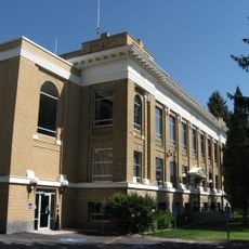
Caribou County Courthouse
United States of America

Caribou County Courthouse

68 km
Keller House and Derrick
United States of America

Keller House and Derrick

74.9 km
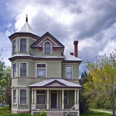
John A. Bagley House
United States of America

John A. Bagley House

61.8 km
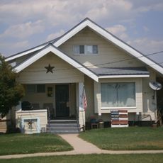
Orson Grimmett Bungalow
United States of America

Orson Grimmett Bungalow

75.1 km
Dr. George Ashley House
United States of America

Dr. George Ashley House

75.1 km
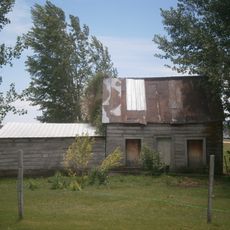
Amos Hulme Barn
United States of America

Amos Hulme Barn

75 km
William and Nora Ream House
United States of America

William and Nora Ream House

70.6 km
William Hopkins House
United States of America

William Hopkins House

67.2 km
Sam Athay House
United States of America

Sam Athay House

75.1 km
Edgar Walter Largilliere Sr. House
United States of America

Edgar Walter Largilliere Sr. House

68.1 km
Grunder Cabin and Outbuildings
United States of America

Grunder Cabin and Outbuildings

74.8 km
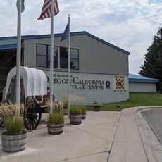
The National Oregon / California Trail Center
United States of America

The National Oregon / California Trail Center

61.8 km
Show the full map

Reviews

Visited this place? Tap the stars to rate it and share your experience / photos with the community! Try now! You can cancel it anytime.

« Mount Fitzpatrick: Mountain summit in Salt River Range, Wyoming, US » is provided by Around Us (aroundus.com). Images and texts are derived from Wikimedia project under a Creative Commons license. You are allowed to copy, distribute, and modify copies of this page, under the conditions set by the license, as long as this note is clearly visible.

Discover hidden gems everywhere you go!

From secret cafés to breathtaking viewpoints, skip the crowded tourist spots and find places that match your style. Our app makes it easy with voice search, smart filtering, route optimization, and insider tips from travelers worldwide. Download now for the complete mobile experience.
Around Us App Screenshot

A unique approach to discovering new places

Le Figaro

All the places worth exploring

France Info

A tailor-made excursion in just a few clicks

20 Minutes